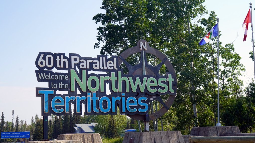
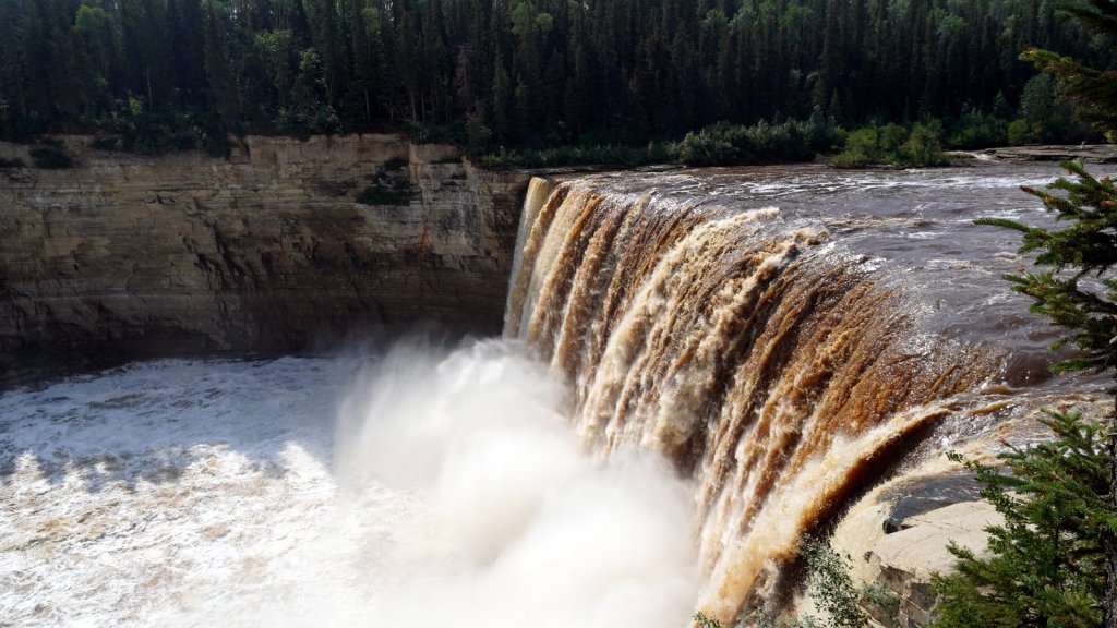
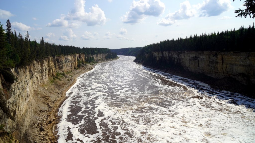
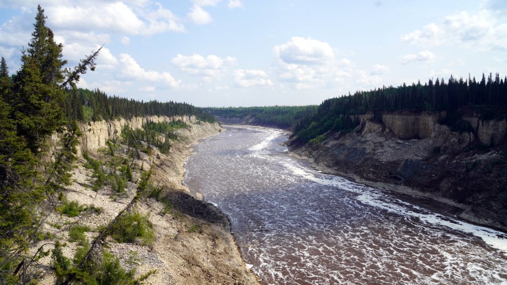
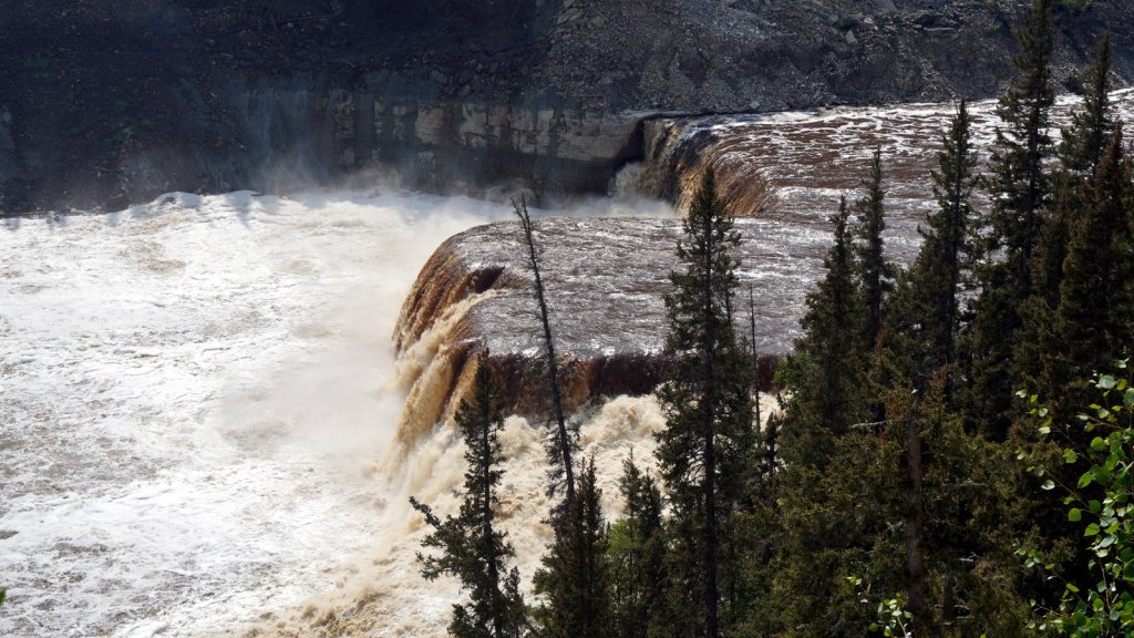
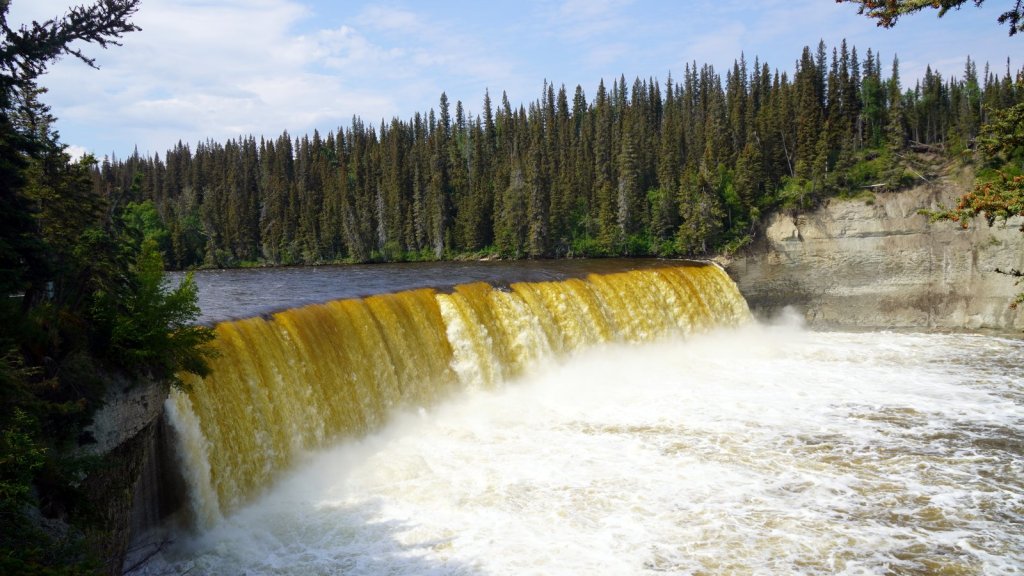
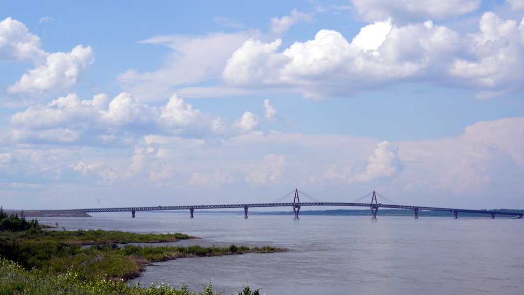
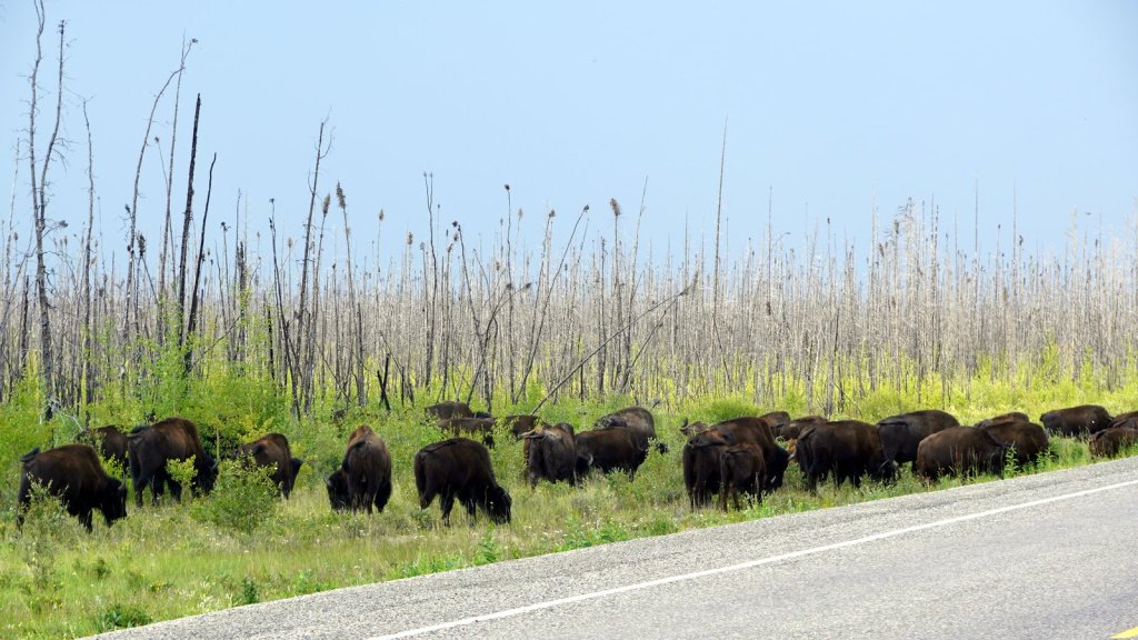
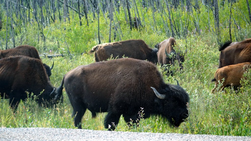
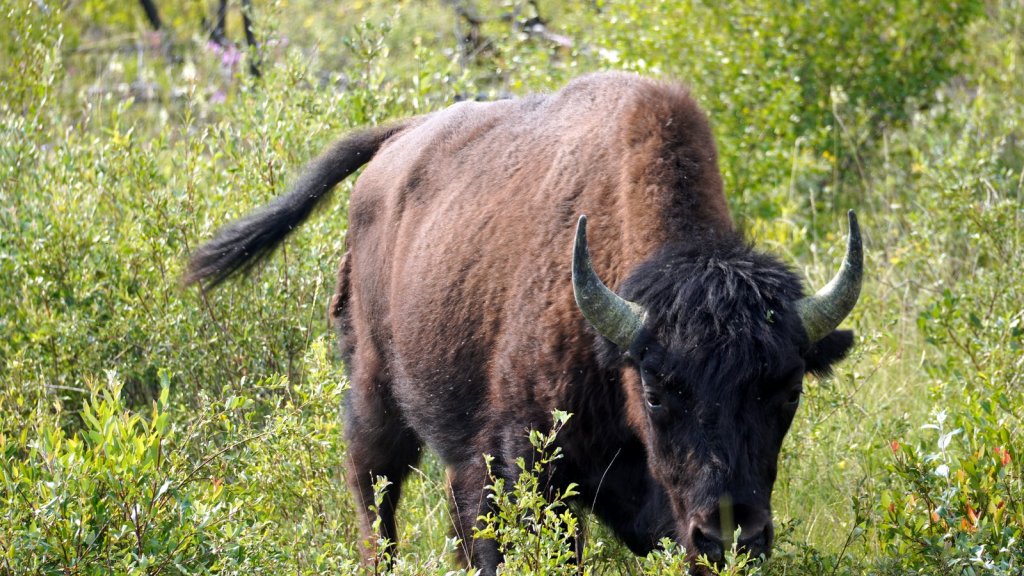
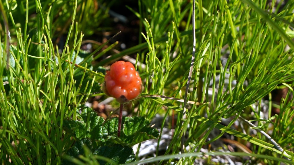
Monday came and passed. The vibration was not bad and we did not see any garage along the way. So we kept driving to Yellow Knife. When crossing the 60th parallel, the North West Territory starts. At the entrance to the province there is a nice visitor centre with good information and free coffee. The welcome party of large horseflies (looks more like bees) was also waiting and circled the camper waiting for us to get out. Jamaliah got fully covered and ran to the info centre. On the way to Hay, we stopped to look at 2 beautiful waterfalls in the wide Hay river. The first is a drop of 30 m. The river had cut a gorge into the limestone with steep walls. We managed to find a toilet in time at one of the recreational sites near the waterfall. Last night’s bush camping did not have this luxury. Before turning off the Mackenzie highway to circumvent the Great Slave Lake towards Yellow Knife, we stopped at another waterfall with a campsite. It was too early to stop and camp, so we continue driving and crossed the wide MacKenzie river over a long concrete suspension bridge. We did not stop for our usual sandwich lunch due to the many horseflies and mosquitoes outside. Most of the road along the lake goes through forested grassland where the forest bison roams freely. This is the Mackenzie Bison sanctuary. We saw several small herds grazing along the roadside. The forest started to change its tree type too. No longer are there tall spruce trees and the conifer had also disappeared. Now it is a forest of different type of pine trees. One tall very skinny pine tree with hardly any branches stands out. It is like a cats tail sticking up in the air. We camped just off the road at a pullout going to one of the many lakes. Based on the garbage we found there, we concluded that it is a site where the locals go duck hunting.
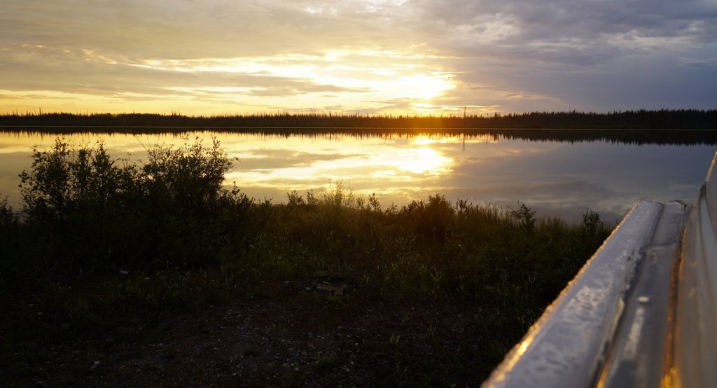
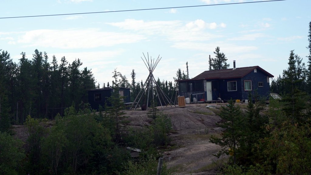
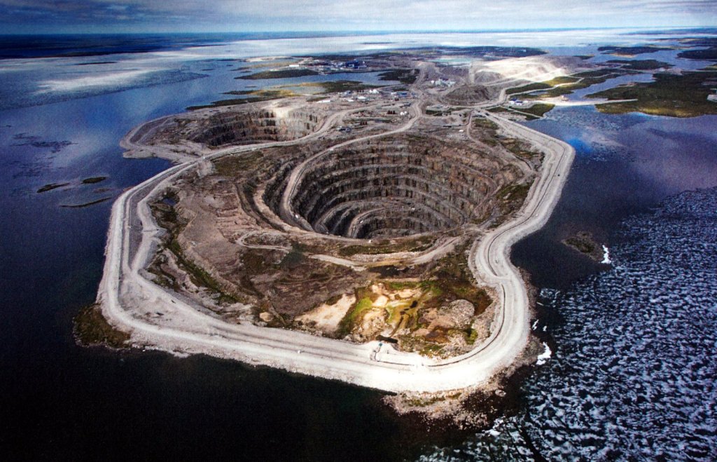
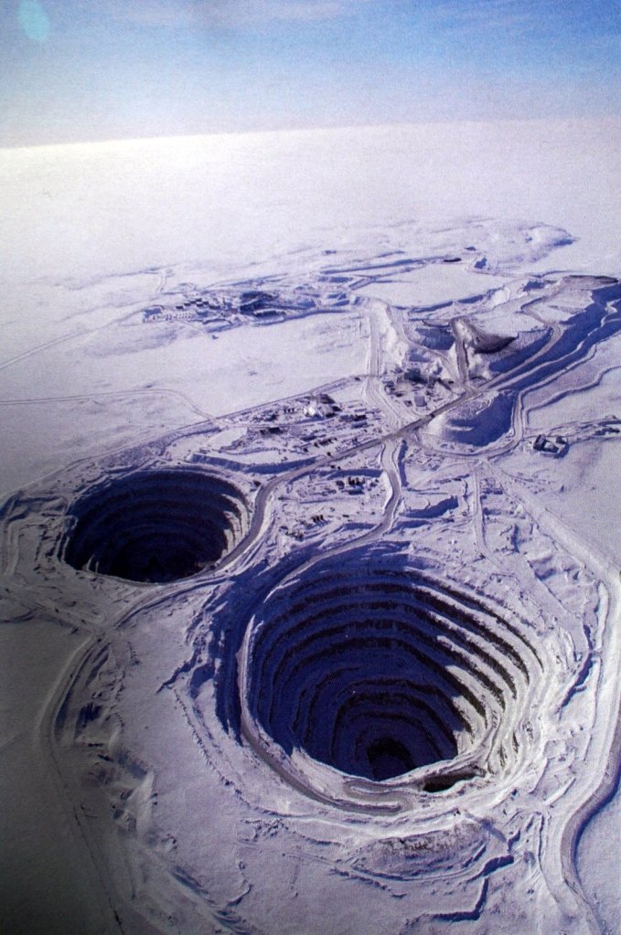
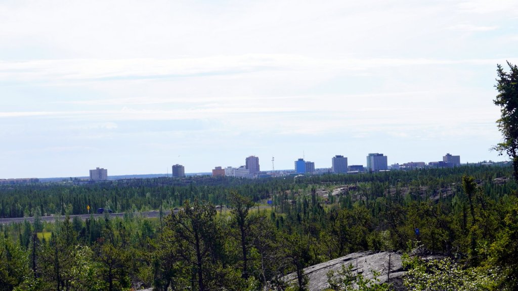
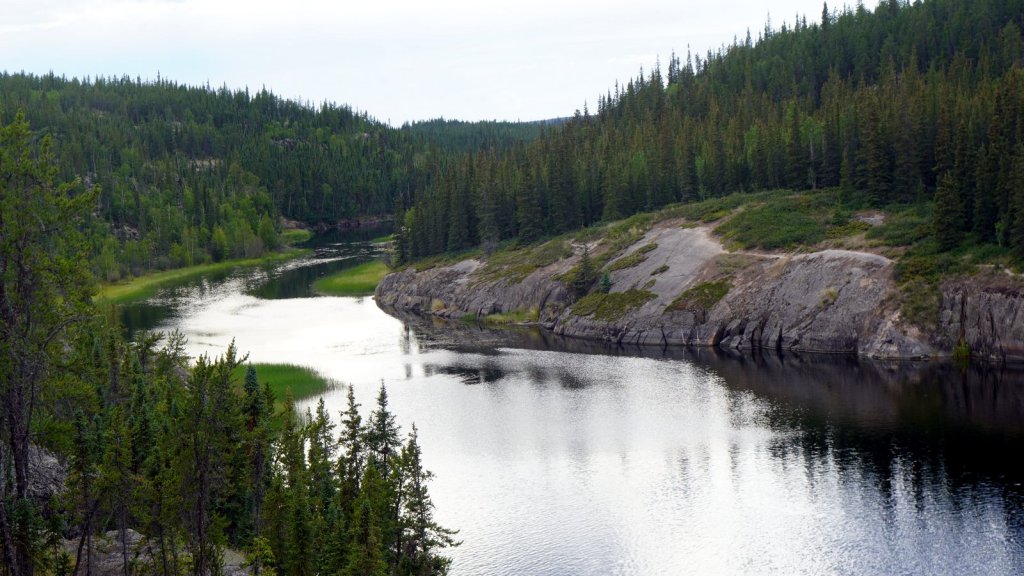
The last stretch to Yellowknife was very pleasant. It is very relaxing to drive in the morning after a good night’s sleep with the sun shining. By the way, the sunset now is around 11.30pm in the evening and it doesn’t get dark all night. After crossing the short steel bridge over the North Arm of the Great Slave Lake, the rock formation and its vegetation changes. We are now on the granite Canadian shield. Larger granite outcrops are covered with a not so dense forest of pine trees and birch trees. The local Dene people build their houses spread out along the road on top of these outcrops. Due to the discovery of gold in the 19th century a settlement at Yellowknife started. It however took off after bush planes made it more accessible. After the gold ran out at the beginning of the 21st century, diamond mining took over. There a 4 large diamond mines north of Yellow Knife. They are only accessible in the winter via ice roads. The staff flies in and rotated every 2 weeks. The kimberlite diamond bearing volcanic pipes were only recently (1991) discovered. Most of them are underneath a (frozen) lake and therefore difficult to find. Diamond mining here is environment friendly (as mentioned by one of the staff). It does not use any chemicals to retrieve the diamond out of the carefully crushed rock.
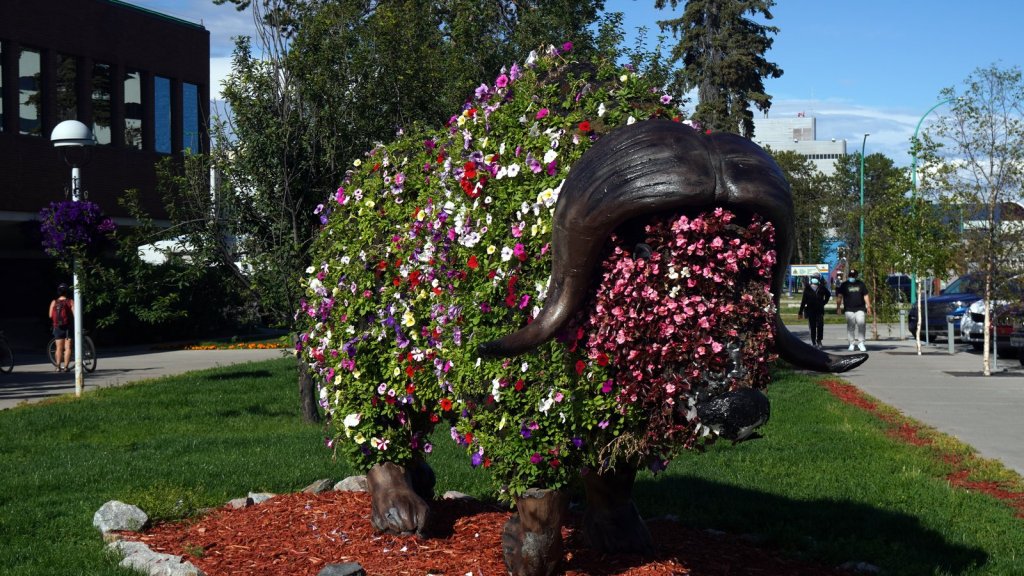
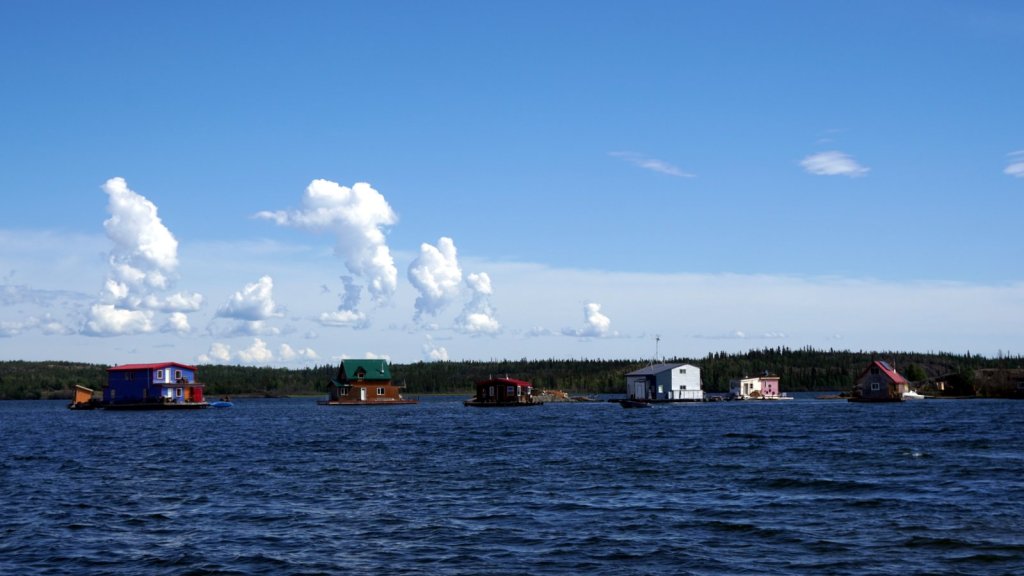
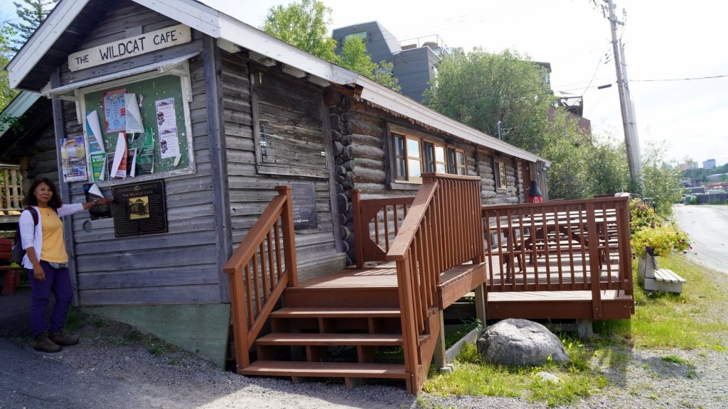
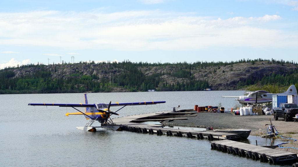
Old Yellowknife’s downtown is built on a small rocky peninsula sticking out into the lake. Besides some small eating places there is not much to see other than several water planes waiting for customers to go on an inland fishing trip. Just off the coast there are some houseboats in the shallow lake. Maybe it is easier to build a houseboat than to create a flat spot on the granite. The modern city has a few high-rise residential buildings. We searched all over the industrial area for a garage that could look at the driveshaft. We were not successful and are giving up. We drove almost 10,000 km with it so it should last for the next 23,000 km of our planned trip. The bolt Rudy put in a few days ago is still in place.
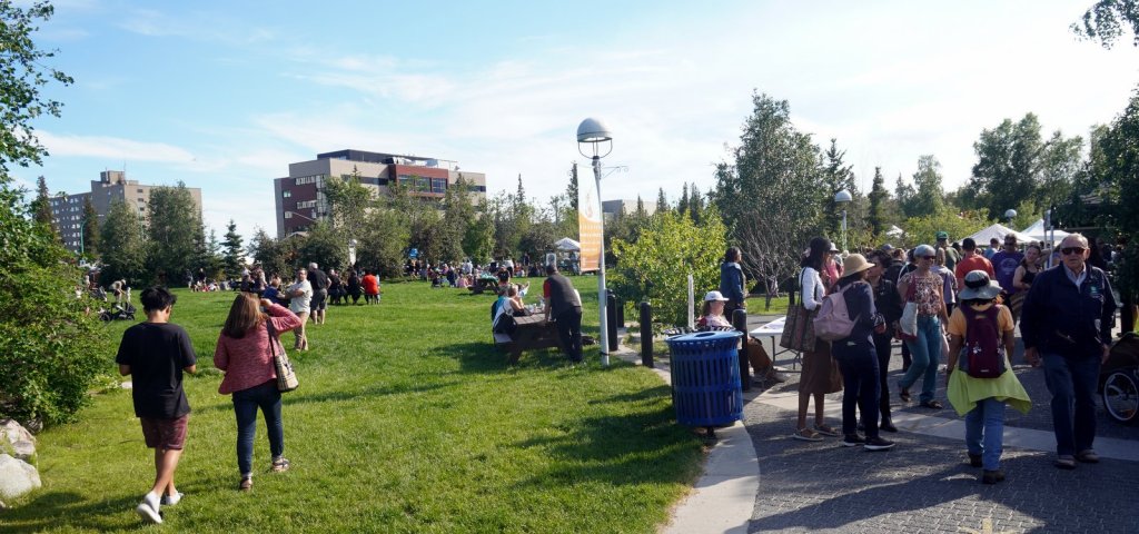
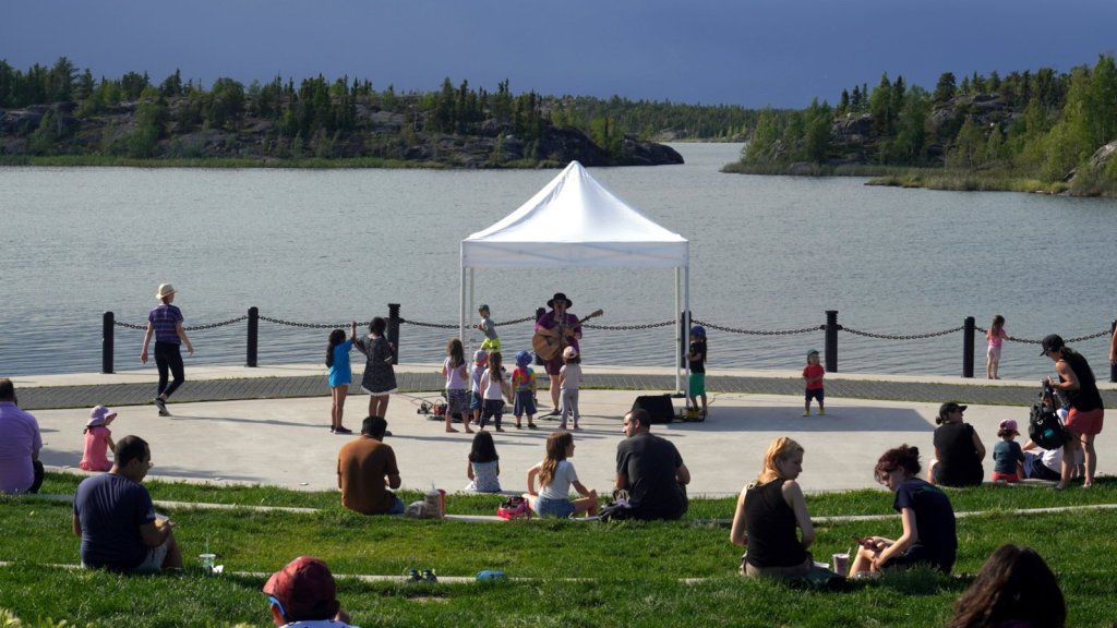
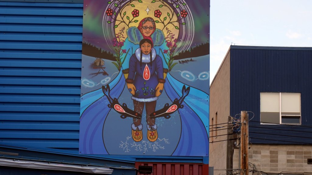
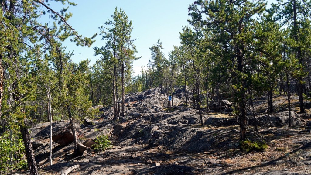
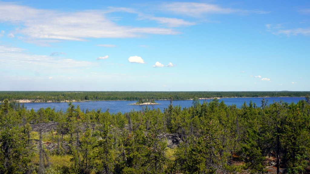
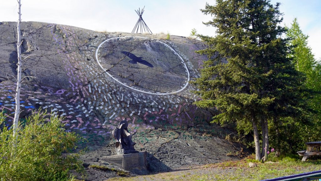
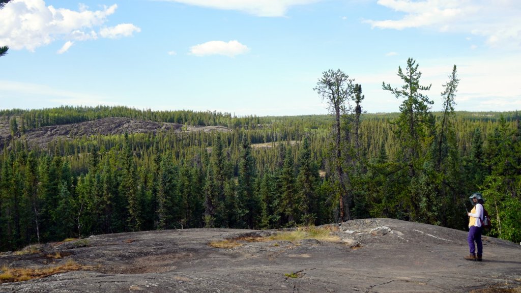
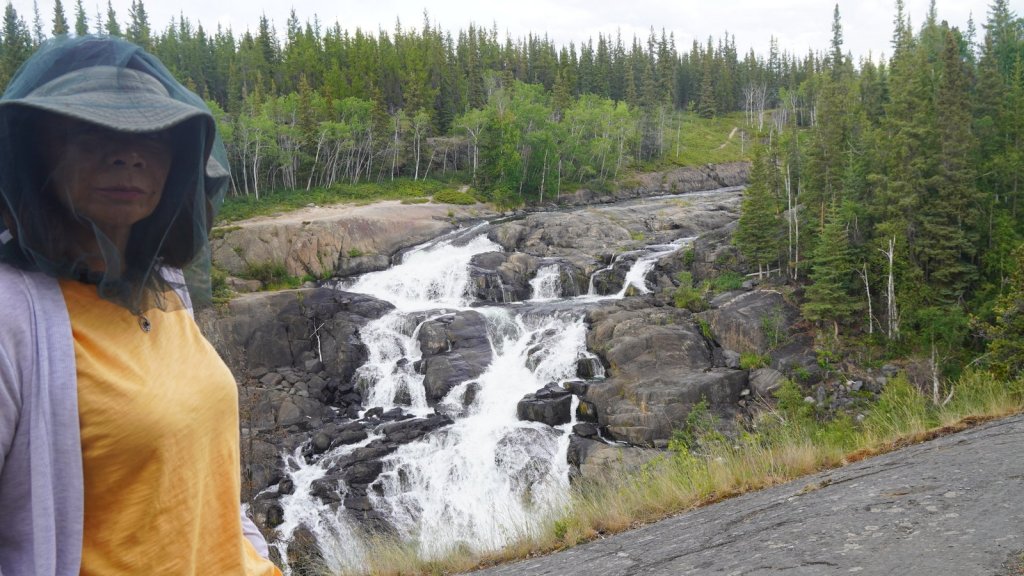
The first night in Yellow Knife we stayed at the territorial park campsite. You camp in-between the trees of a forest covering large granite boulders close to the airport. Because of the noise, the next day we drove some 50 km out of town and stayed at another official campsite next to a lake and with a great view. Because the previous camper left a day early and the site was thus paid for, we could stay here for free. On this Wednesday we made 2 forest walks over the boulders. One 4 km walk started from the campsite (Prospector trail) and the other was along the Ingraham trail some 30 km out of town. This is a walk towards another waterfall. It is a moderately easy walk again over big boulders and stairs but the many mosquitoes made it more challenging. In-between the walks, we wandered through the old city and over the boardwalk onto the lake. The Prince Wales Historical Museum contained a good explanation together with diorama’s about the life of the local Native people and the development of their territory.