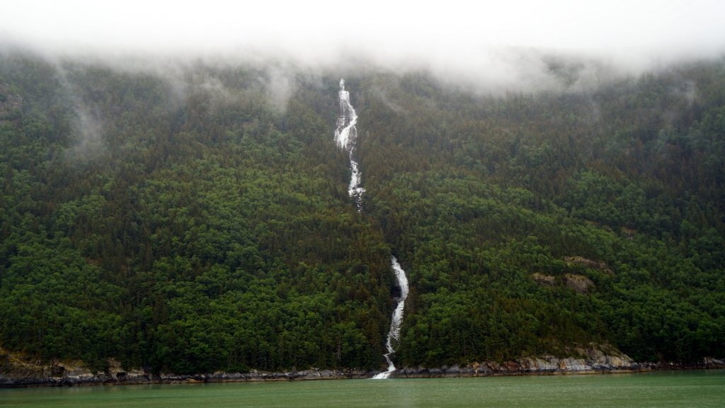
The first night in Skagway, we camped along the Dyea river. This is the starting point of the Chilkoot trail which the prospectors had to follow over the mountain in 1898. The next day we wandered through the town and spent time at the excellent visitors centre where they explained all about the Klondike gold rush and how the train line was built in record time. That night we camped at another fast flowing river, coming down from the mountain.
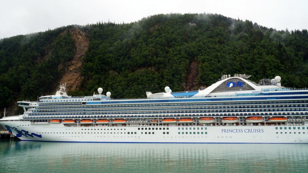
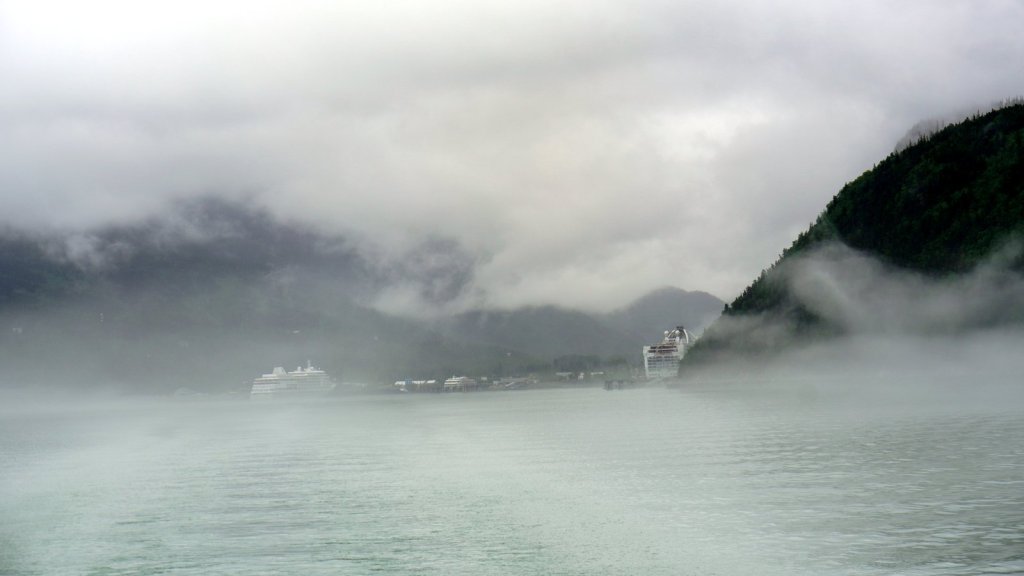
On Sunday, after uploading the previous blog at the town library, we boarded the ferry which brought us around the mountain to Haines (1 hr). The sailing was smooth but it was cold and windy on deck. Fortunately the ferry provided electric heater (solarium) so you can comfortably sit outside and be warm. The clouds were low in the fjord and the view was limited. In Haines, we drove straight north along a long river valley to the US/Canada border and up over the Haines pass. Just after the pass there is a trail head where we camped together with other campers who were walking or cycling the trail the next day. Later in the evening a Dutch couple, Kim and Sven with their 2 children, pulled up next to us. We had bumped into them the day before in Skagway.
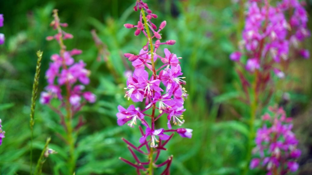
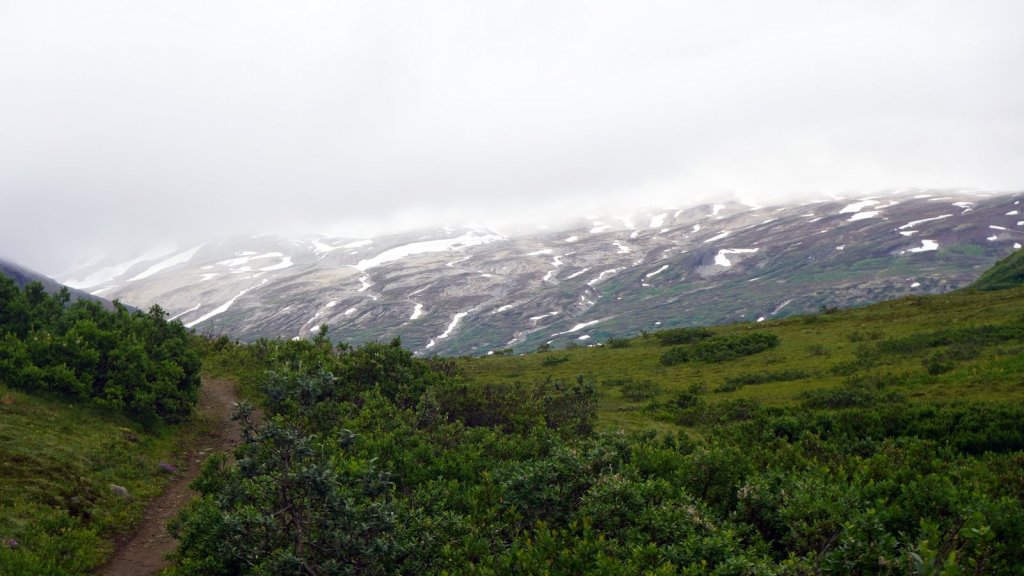
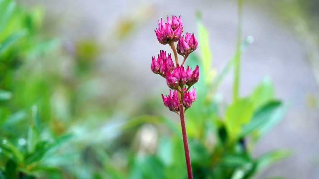
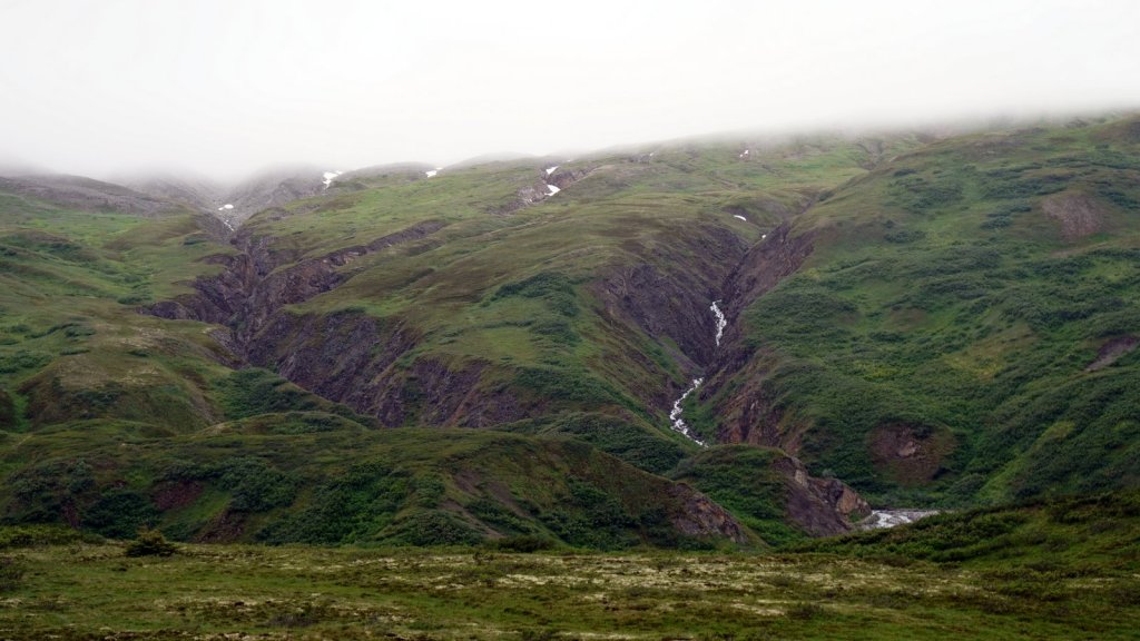
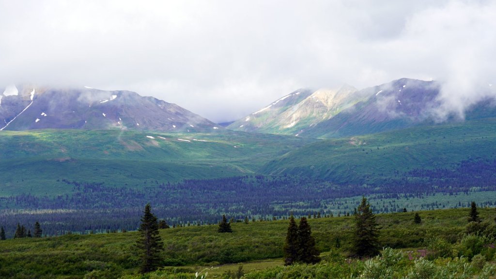
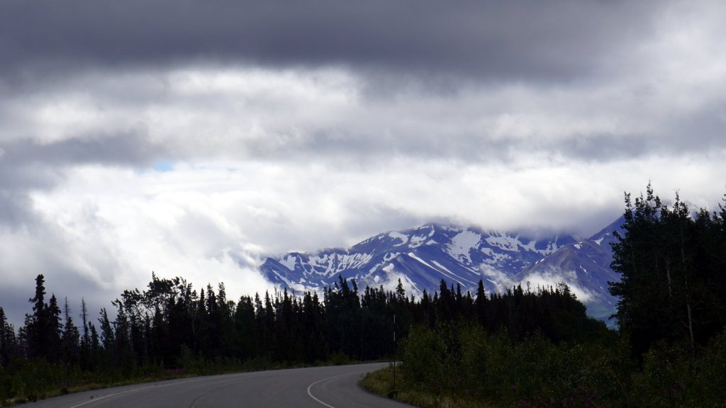
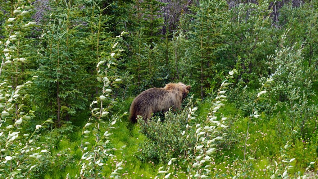
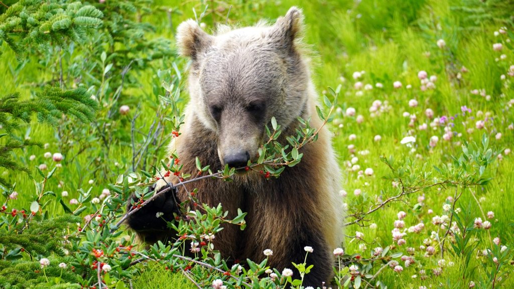
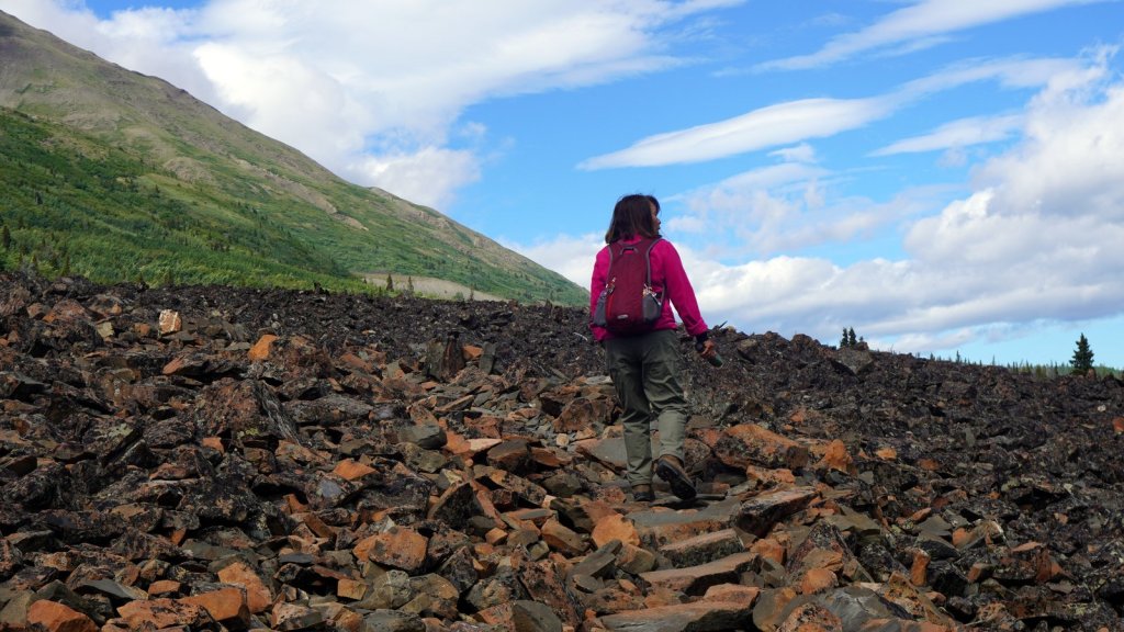
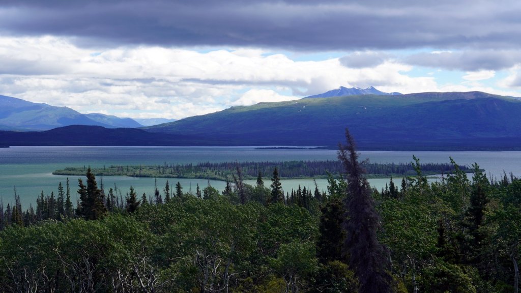
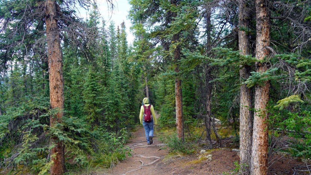
In the morning we decided to take a short hike on the trail. At around 900 m it was cold and windy. The alpine meadows ran uphill towards left-over patches of snow. Further up there is a glacier, but we did not walk that far. The road further down, back to the Alaskan Highway, is very scenic with high mountains on one side and forests with lakes on the other. It was here we saw our first grizzly bear. He was busy eating the berries from the shrub along the road.
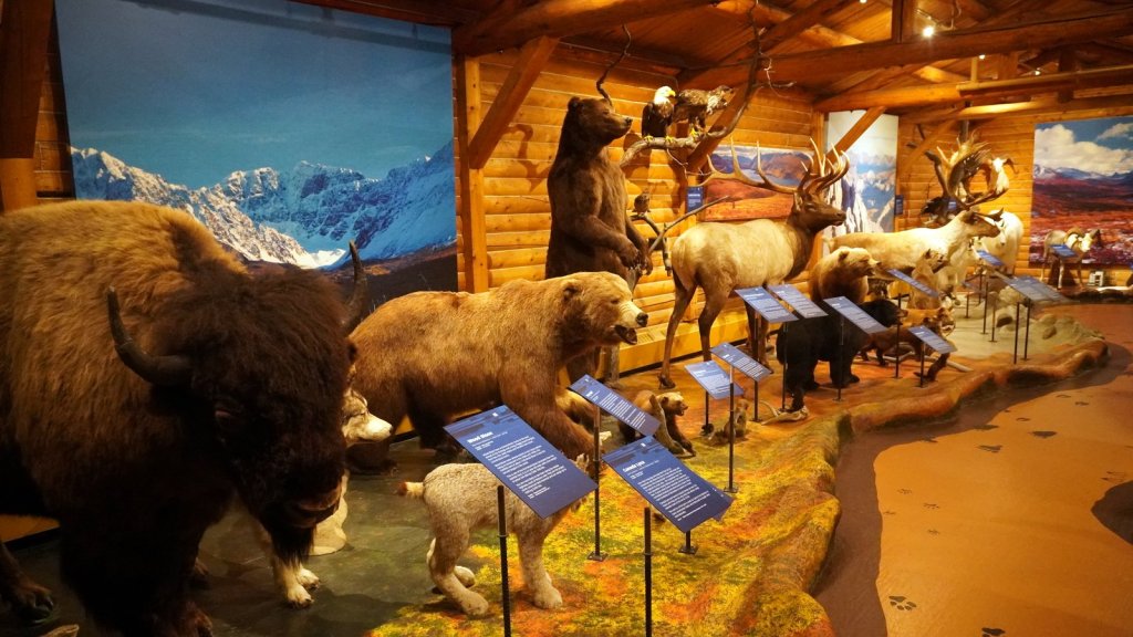
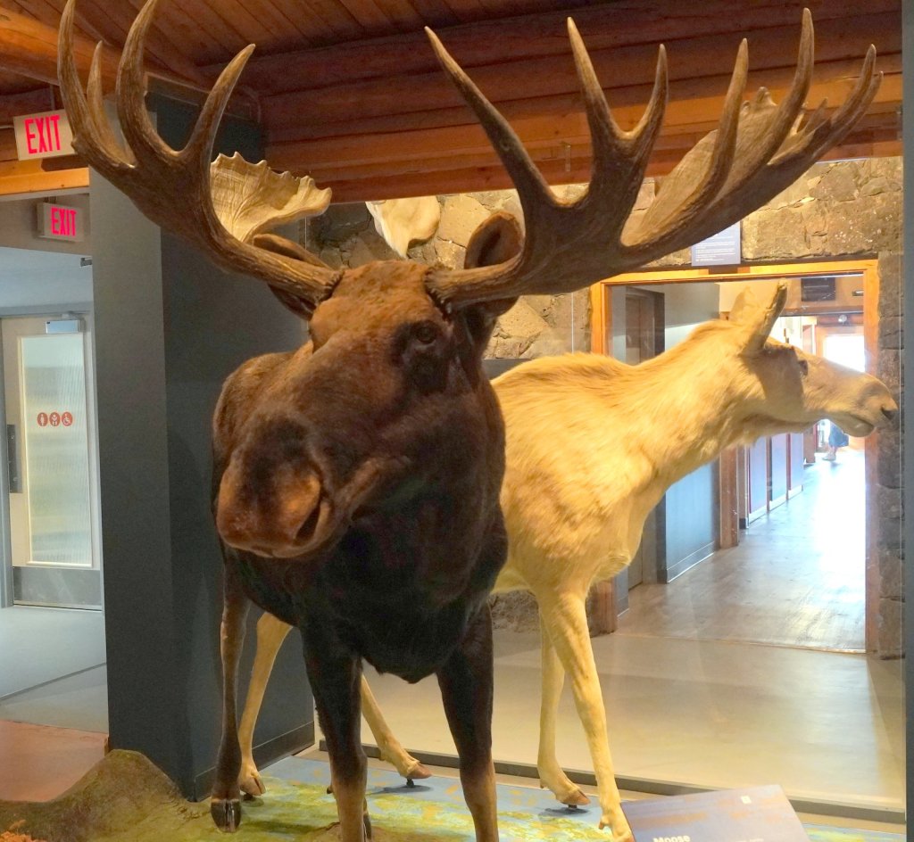
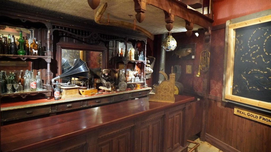
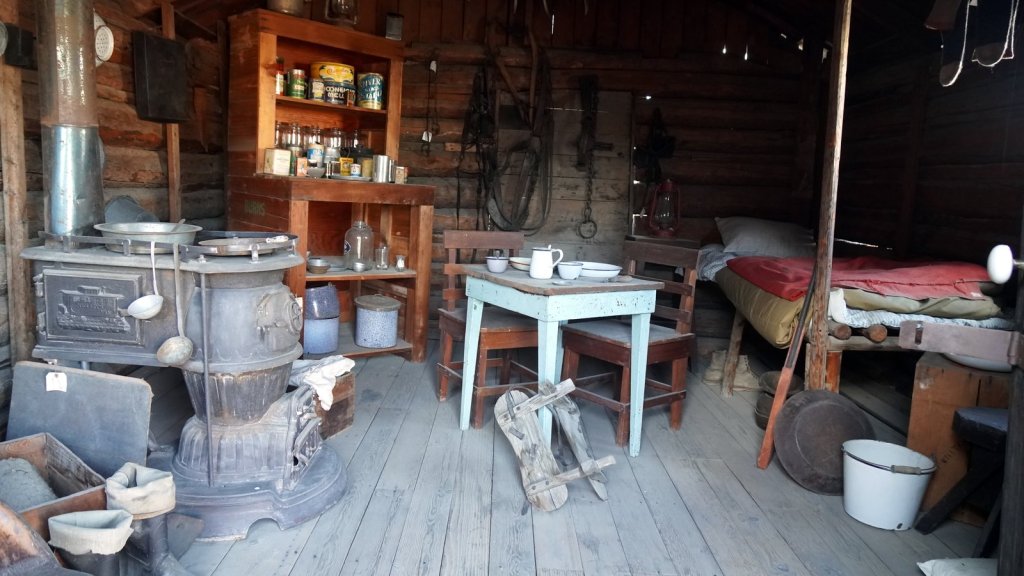
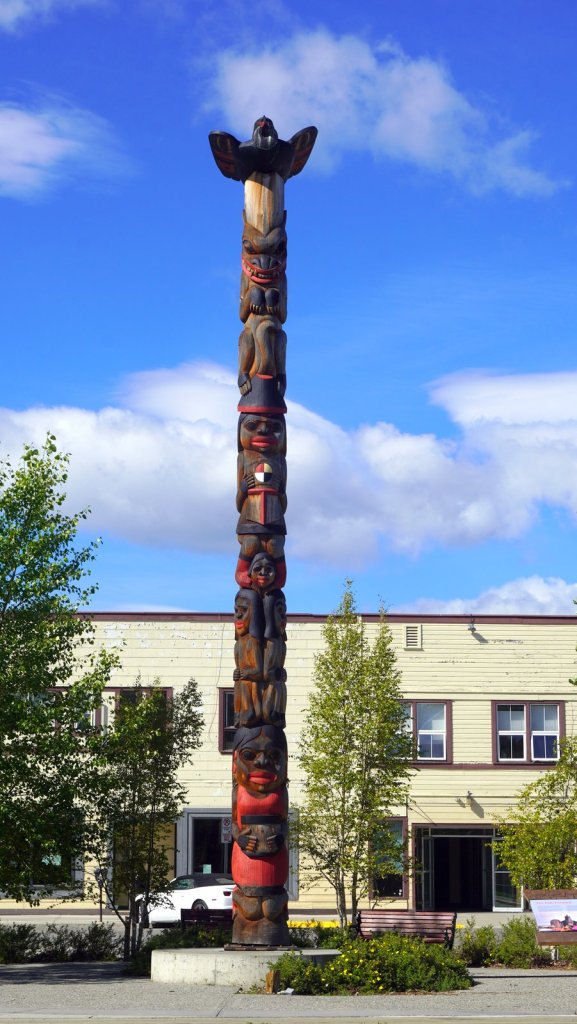
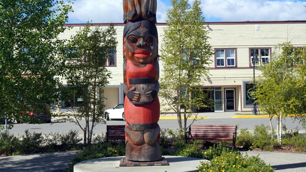
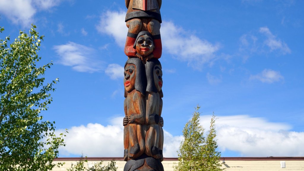
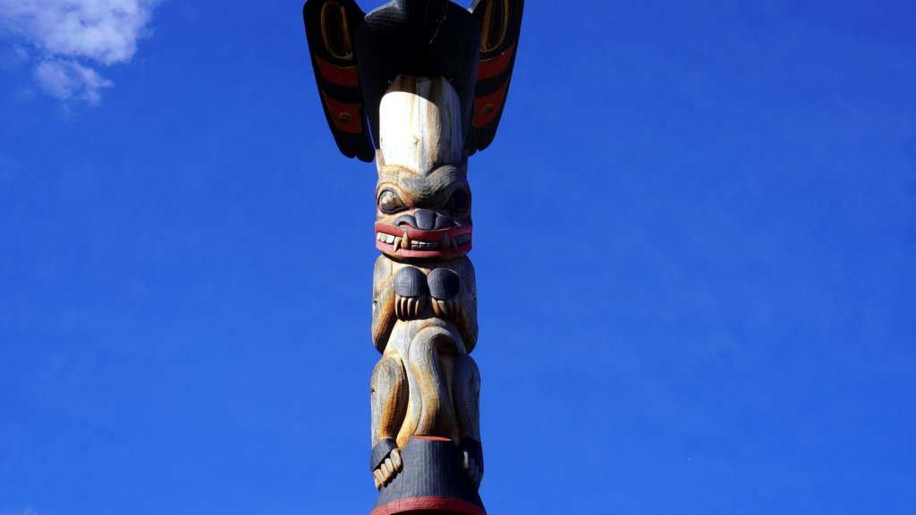
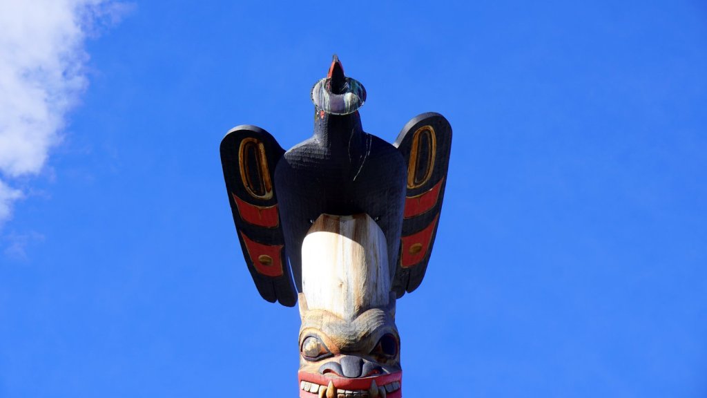
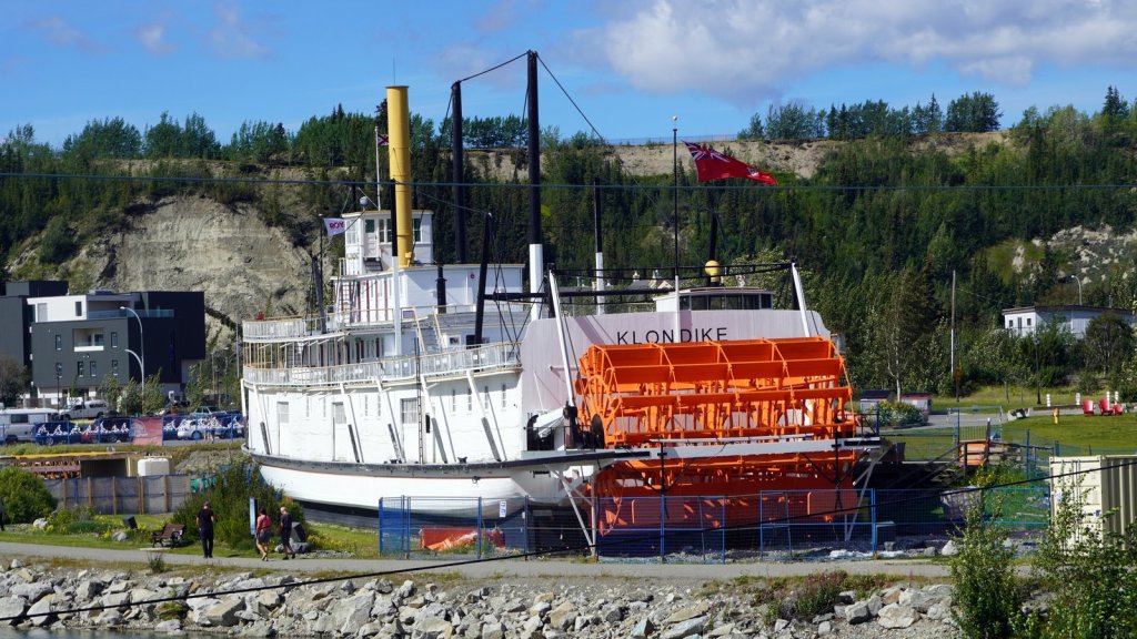
Whitehorse is the first mayor city we visited since Yellowknife. It is however much bigger and more sophisticated. It lies in a valley at 750 m, is not so far north and therefore much warmer. We filled up our water tank at the visitor centre and bought ample supplies for the days to come. The night was spent camping at the Canadian SuperStore parking lot. We were not alone. Some 10 other campers were also staying there, spread out over the large parking lot. In the morning we visited the Historical museum which went into the evolution of the local Native tribes and how they now formed several first Nations with rights recognised by the Canadian government. A large section is dedicated to the gold rush together with photo’s, tools and a hut. Whitehorse is also the start of the paddleboat line going down river to Dawson Creek (500+ km). At the height of the season some 200 steam ships went up and down to Dawson city. Each ship made several stops along the river to load up more firewood. You can still see the effects of that when driving up the Klondike highway. One paddleboat has been restored and is dry-docked alongside the river which runs through the town.
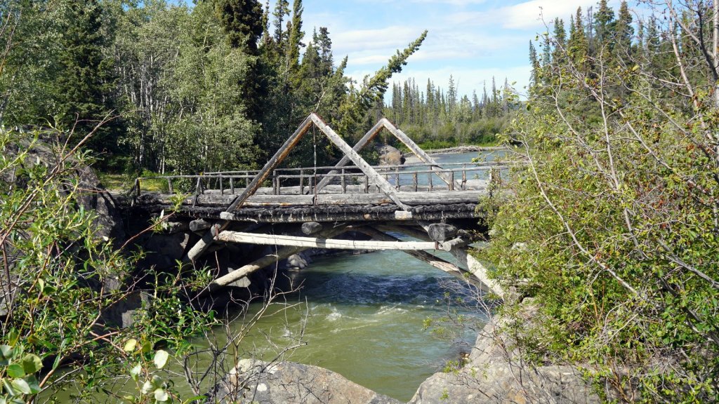
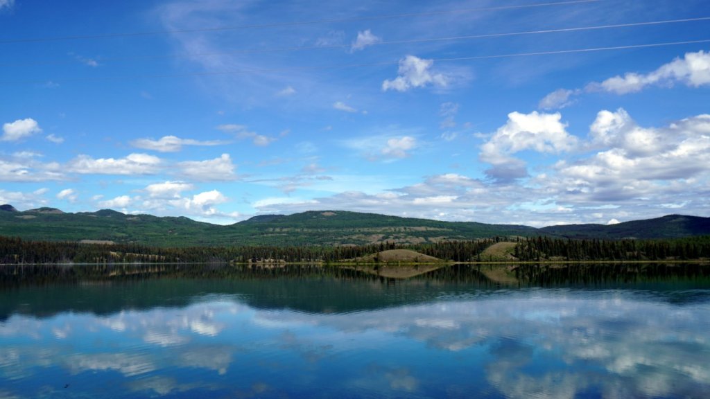
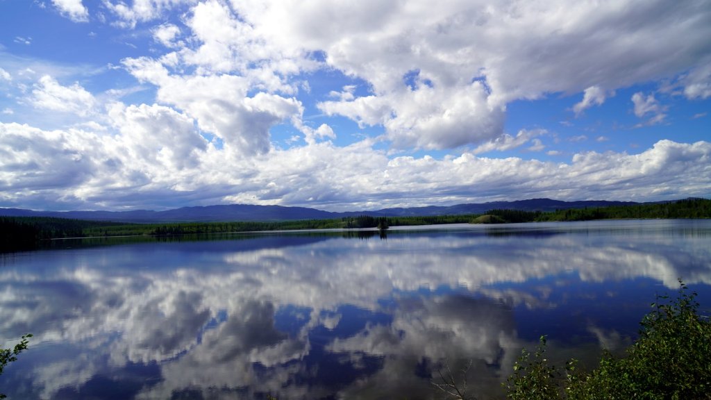
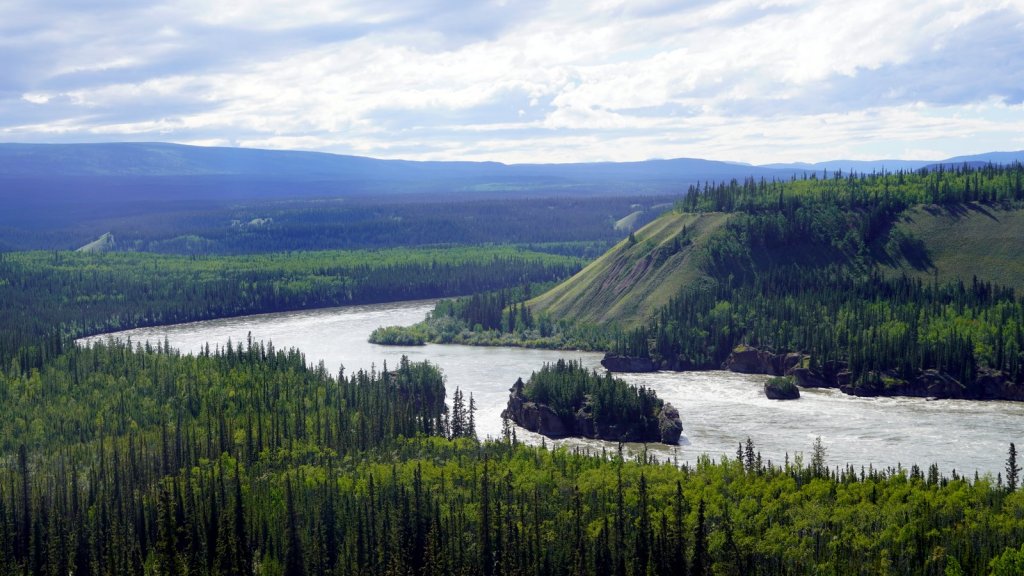
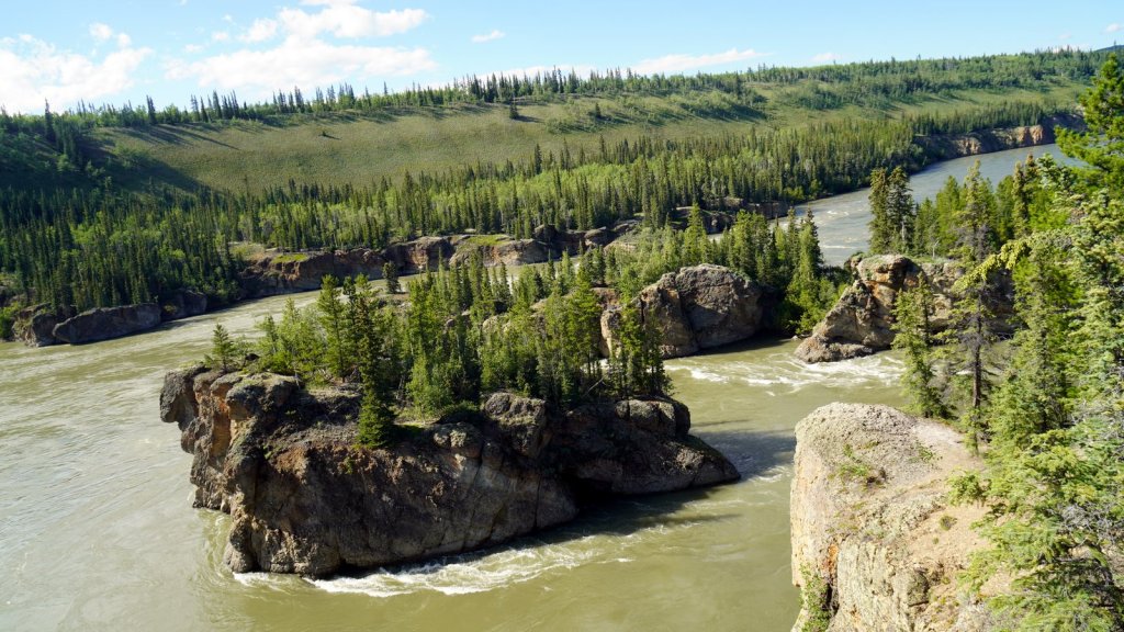
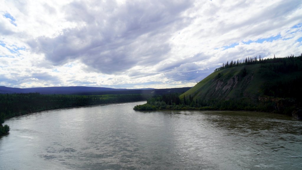
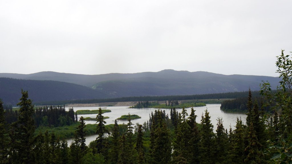
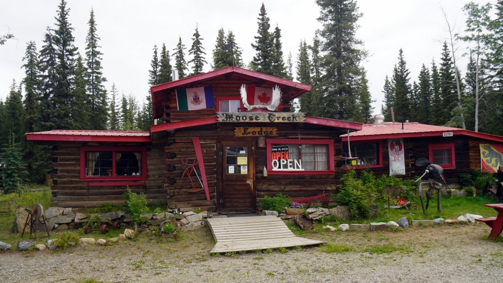
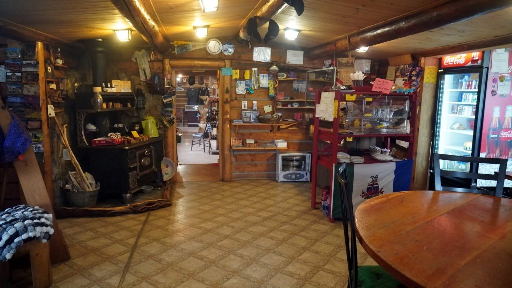
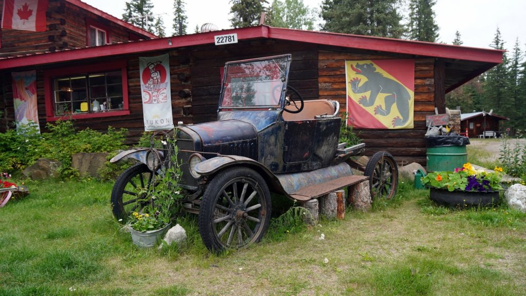
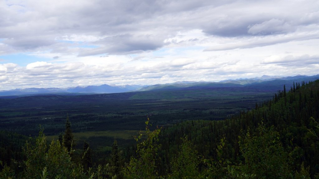
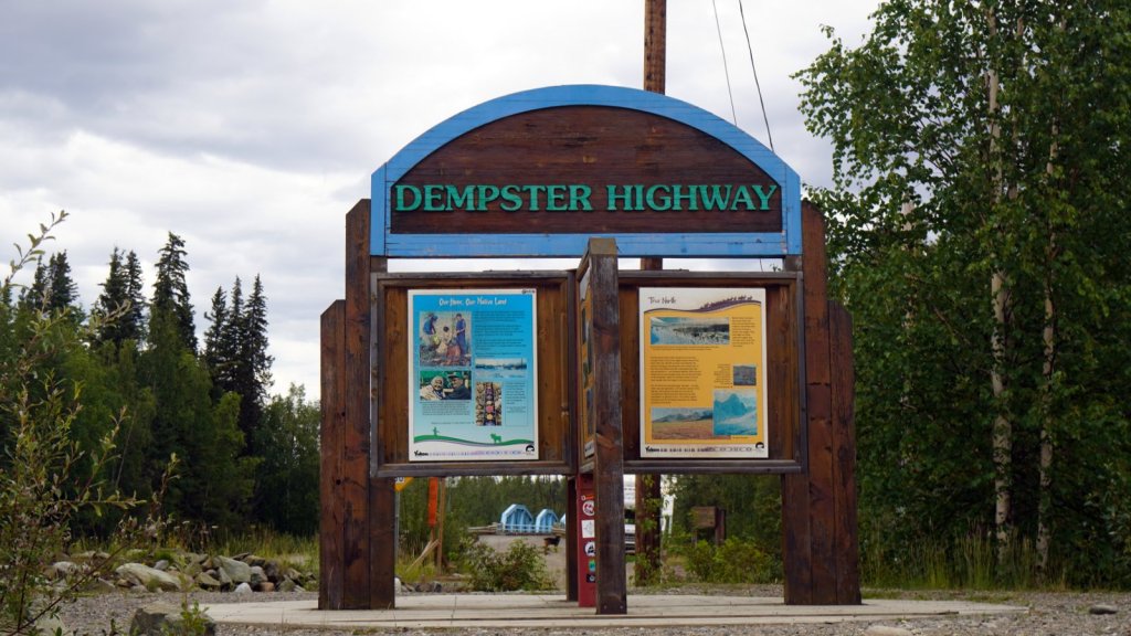
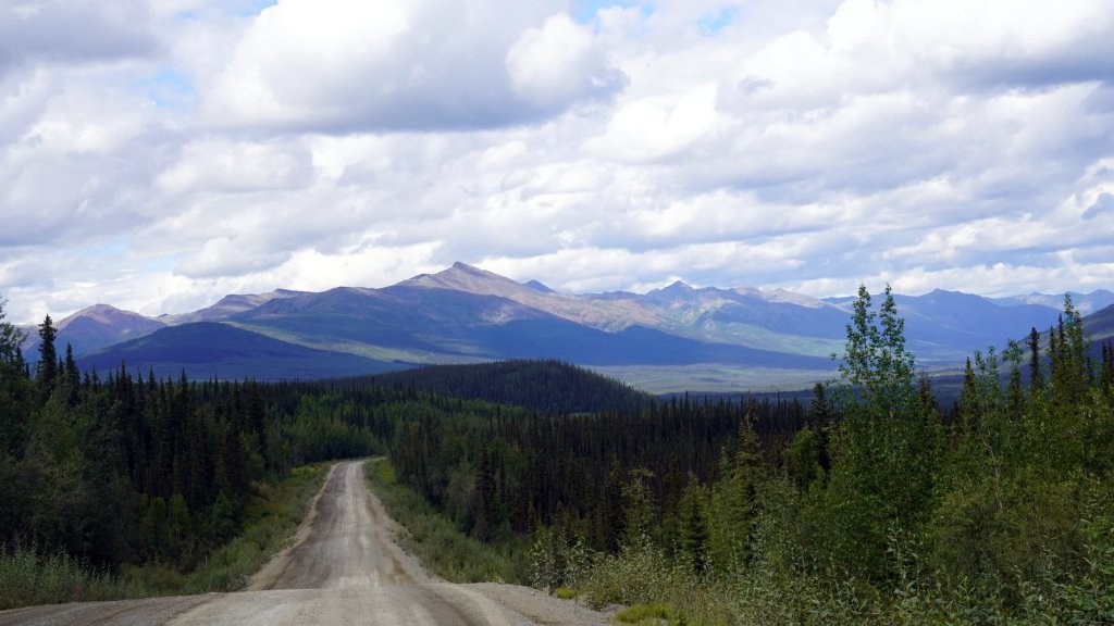
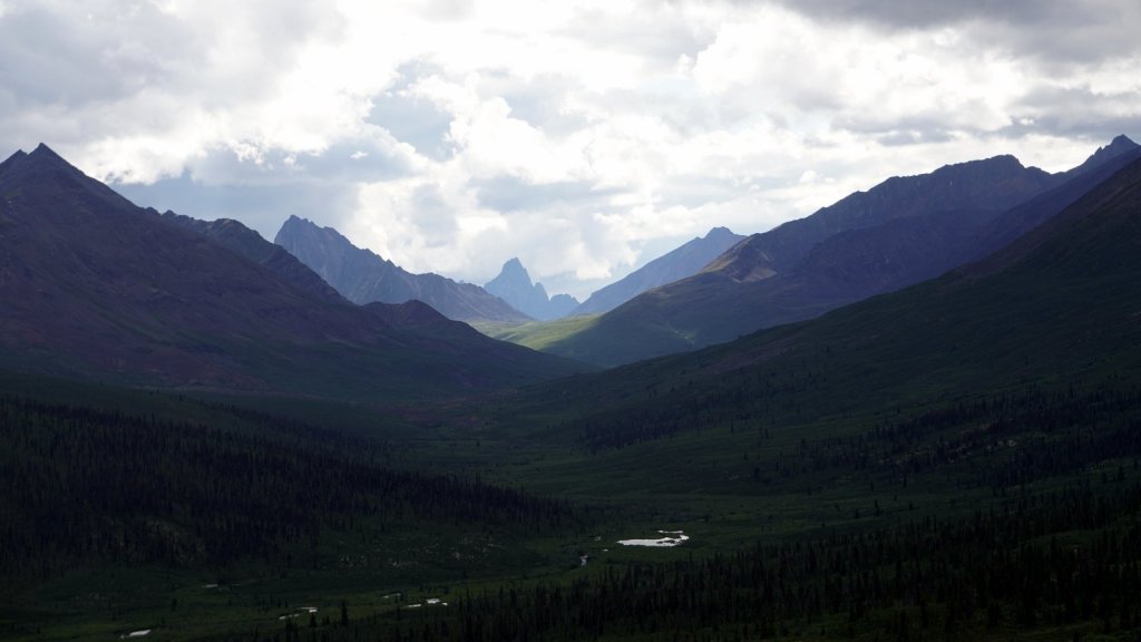
The Klondike highway to Dawson City follows the wide Yukon river north. The river flows north and later west to cross into Alaska and continue to the Bearing sea. The mountain slopes along the river are steep and made of solidified sand. At many points, the river cuts into the cliffs and you see landslides. The mountains themselves are covered with trees with many grassy patches where the tree vegetation has not yet restored. Along the way, we stopped at the Five fingers rapids site. We descended over some 220 steps and a forest path to get close up to these rapids. In the time of the steamboats this was a major hurdle to cross. Only 1 channel was deep enough but it was also the most shallow. There was a steel cable along which the boats could pull themselves through. Again, although not a demanding walk but the present of hordes of mosquitoes made it a challenging one. In the evening we camped at a lovely Native salmon fishing camp along the river. Preparation was made to catch and smoked the salmon once the run starts. Unfortunately we were still too early. Maybe only by a few days. The runs however have reduced in size due to overfishing further up the Yukon in Alaska. At this camp spot, we met an older German who is travelling with his nephew. He has been travelling round Canada for 2 ½ months and recently picked up his nephew in Anchorage. We had a lovely evening sitting around the campfire in the light of the undergoing sun drinking wine and chatting. It was only our second campfire in the 58 days of this trip. Driving further north we had a lovely lunch in an old mountain lodge run by 2 old ladies. Outside are several car wrecks on display. One of them a Ford model T. Some 40 km before Dawson city we turned off the Klondike highway to the Dempster highway. This 880 km gravel road should bring us to Tuktoyatuk on the Arctic ocean. Some 100 km up the road we found a camp site amongst the bushes (trees have disappeared) alongside a cold stream. We are at 1200m above sea level.
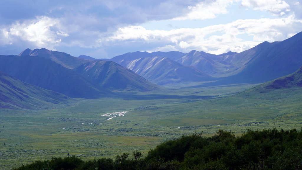
Updates to this blog are slow. Our phones do not have much internet coverage (here in the Northern anyway) despite that it was promised when we changed providers. Only in the larger cities can we use the internet on the phone to read the whatsapp messages, e-mails and the newspaper.