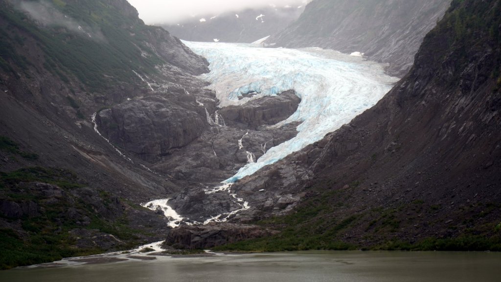
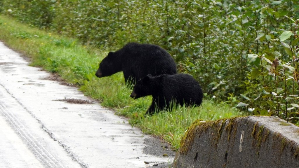
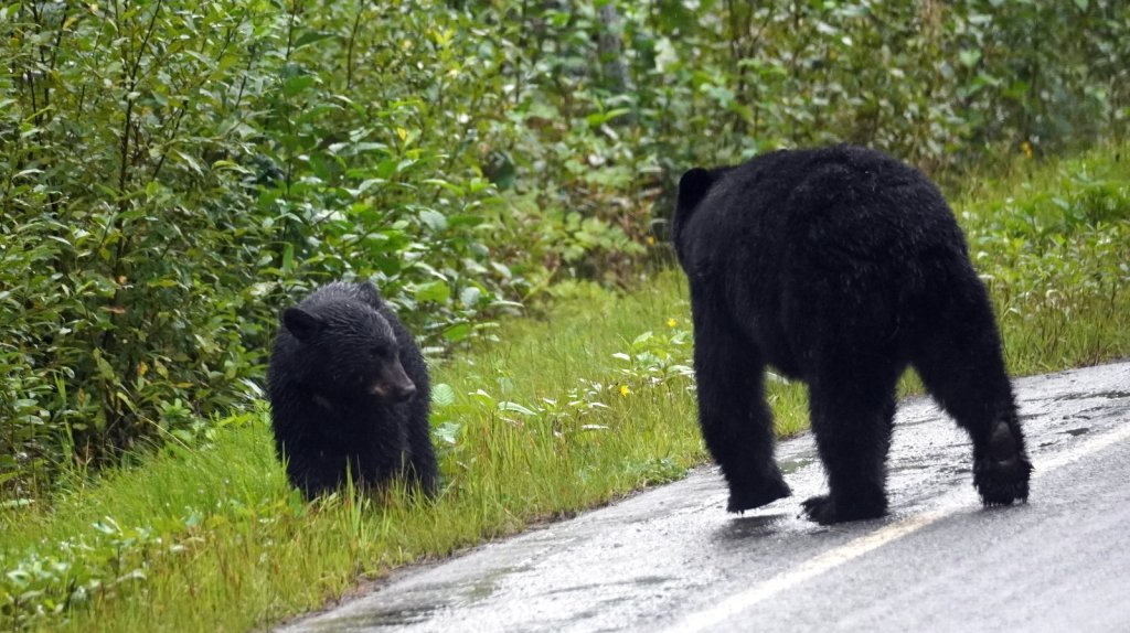
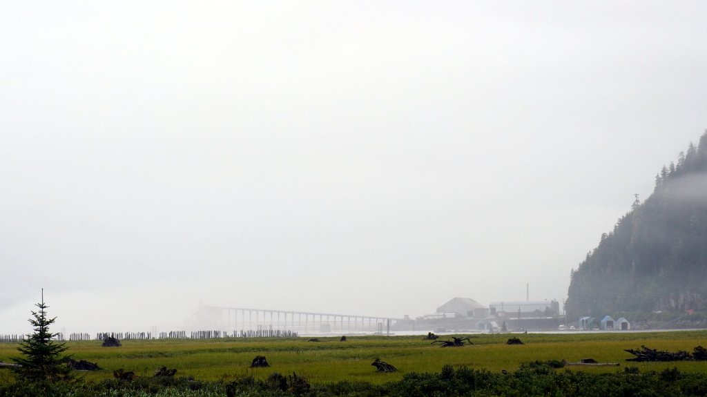
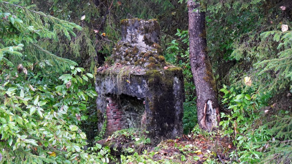
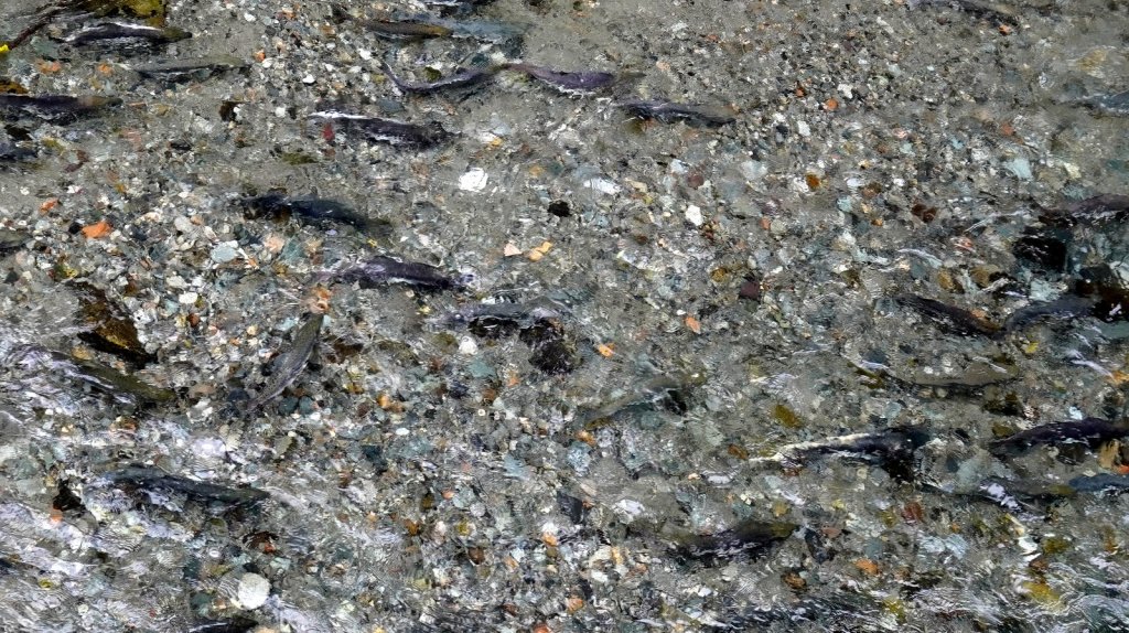
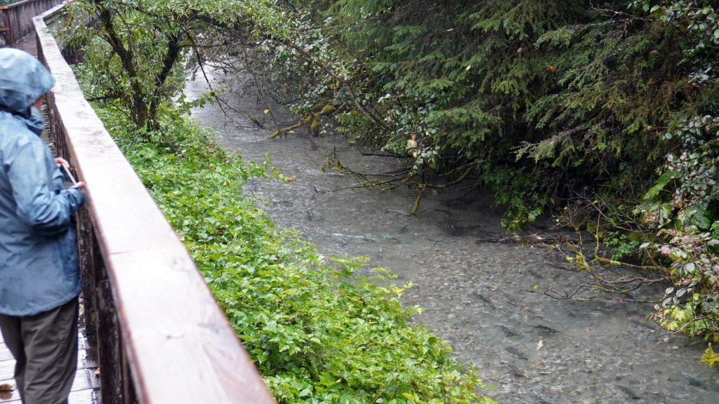
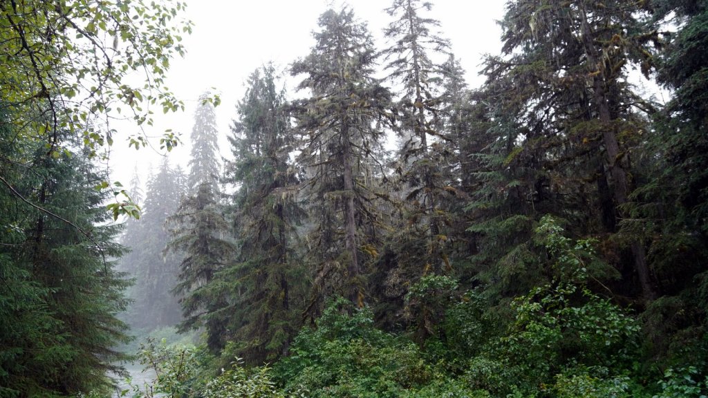
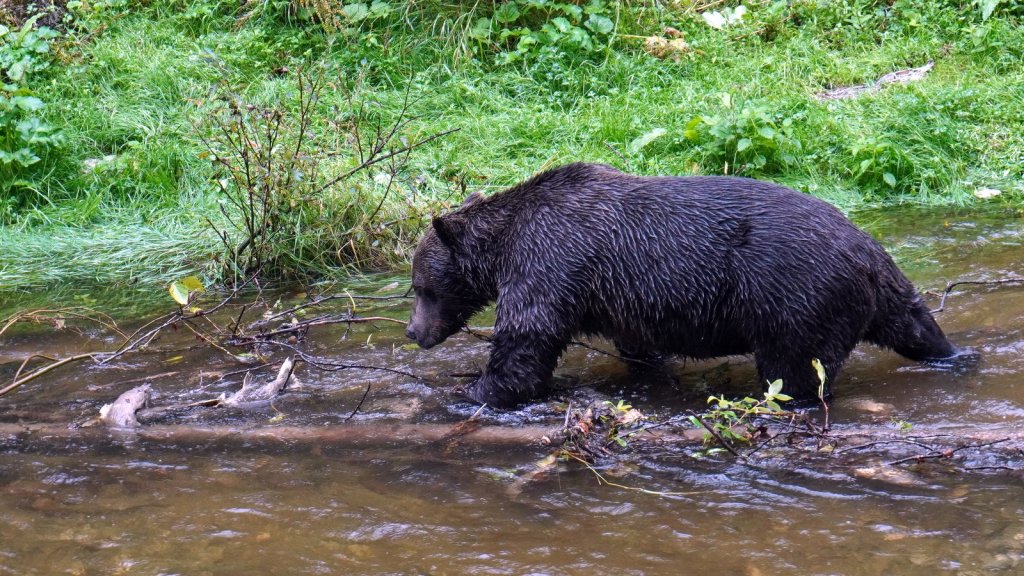
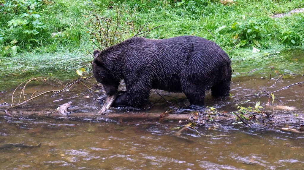
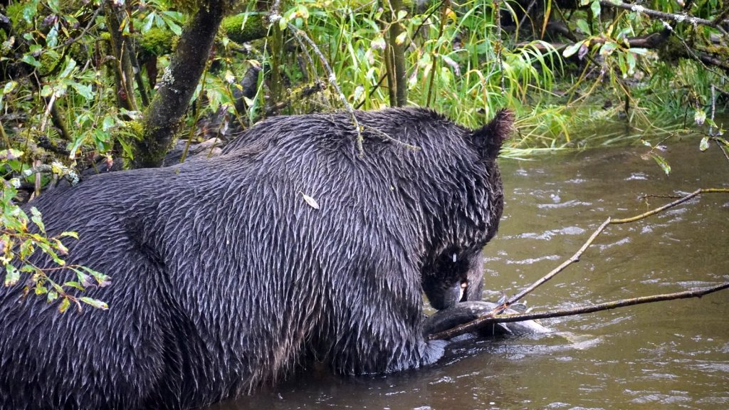
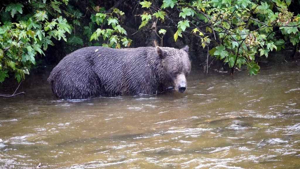
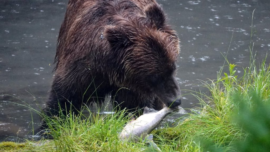
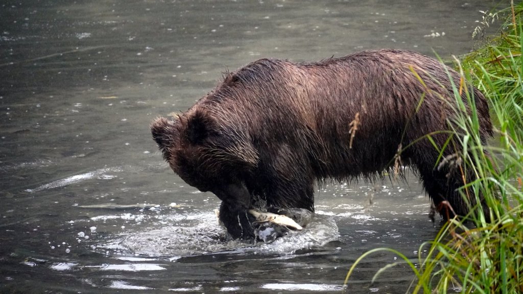
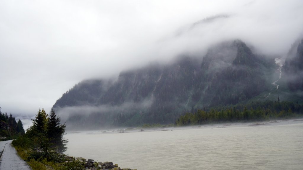
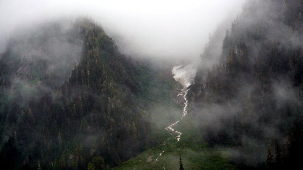
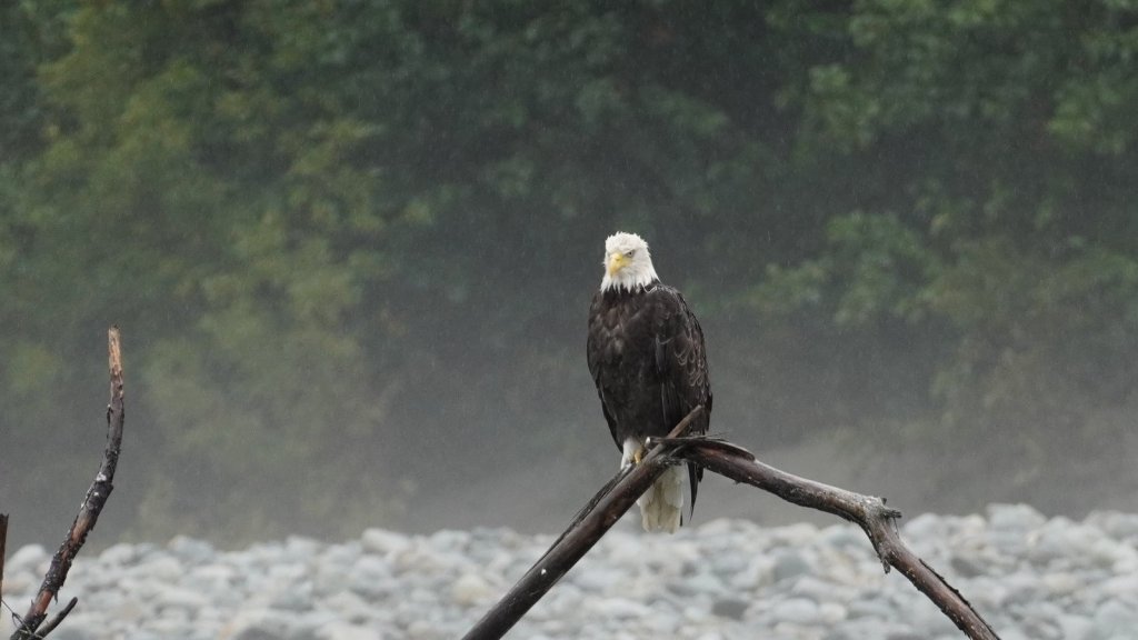
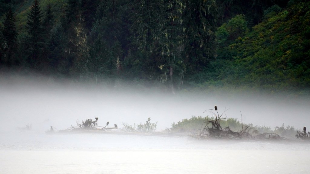
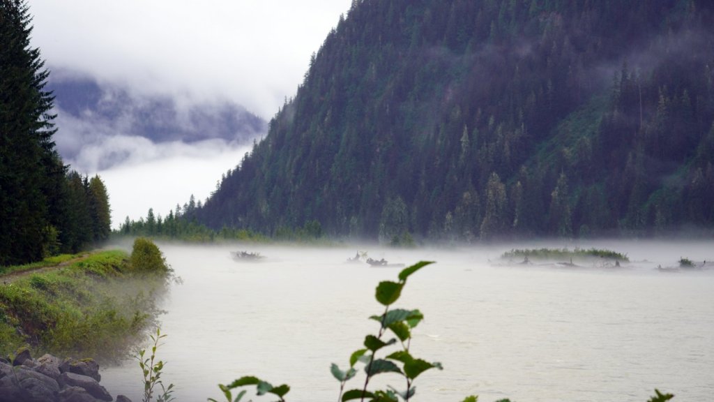
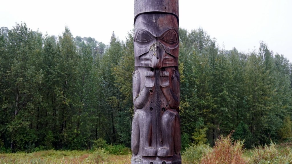
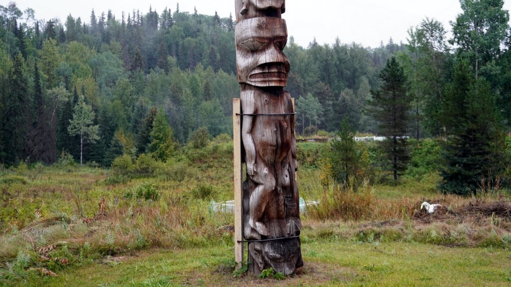
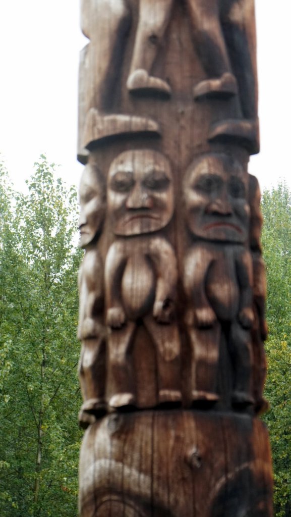
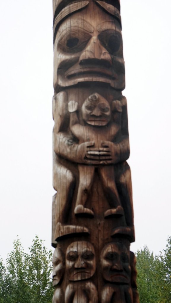
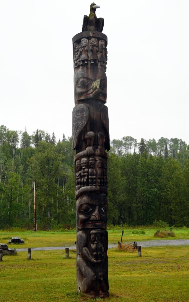
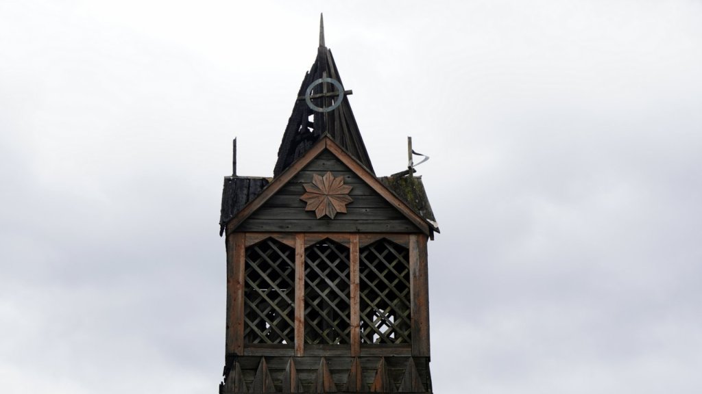
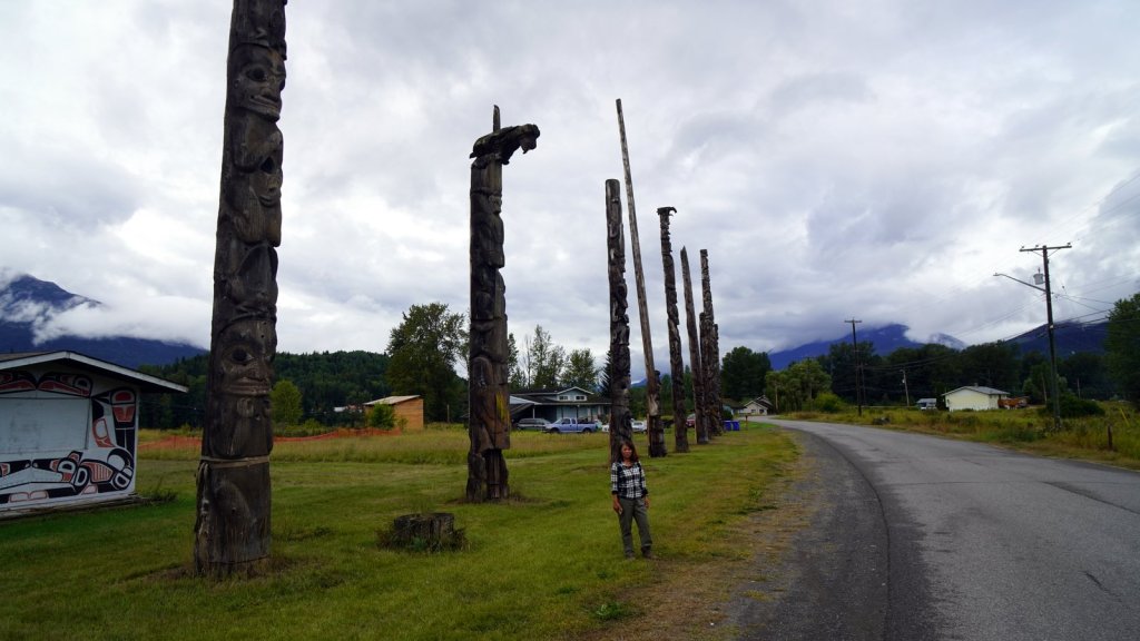
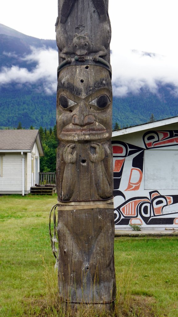
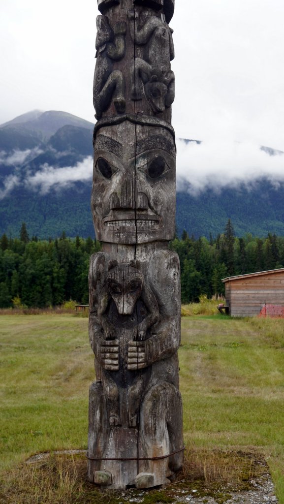
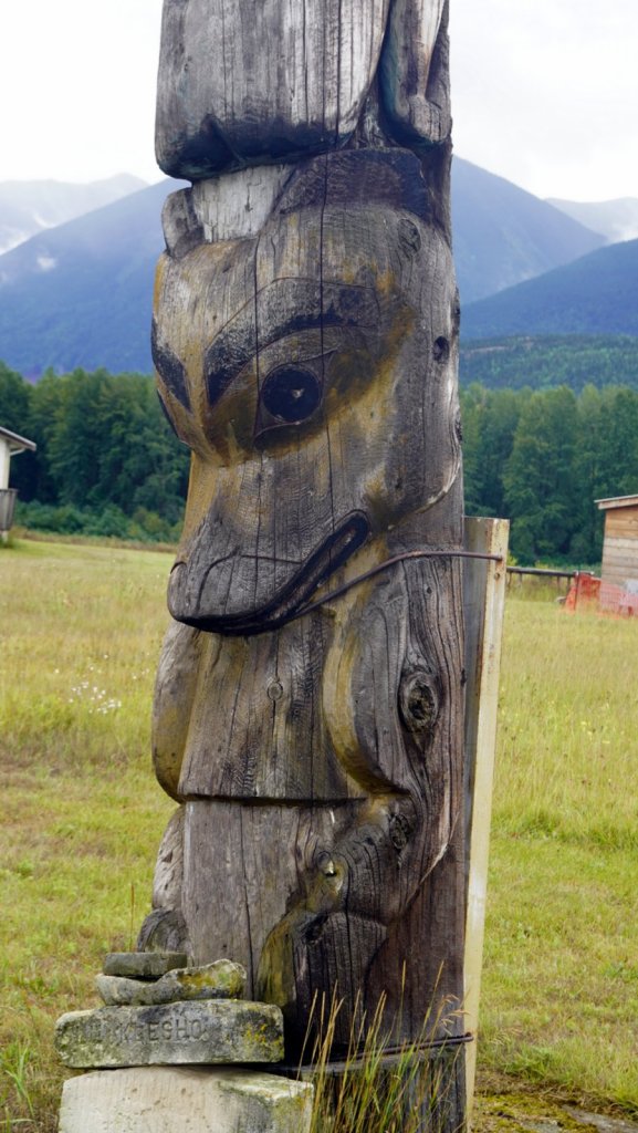
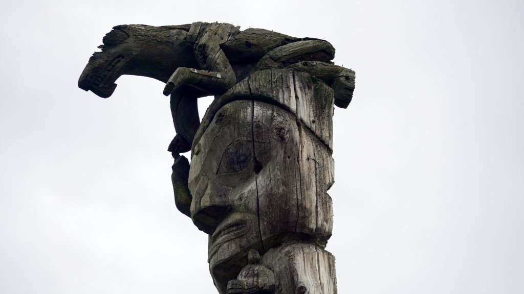
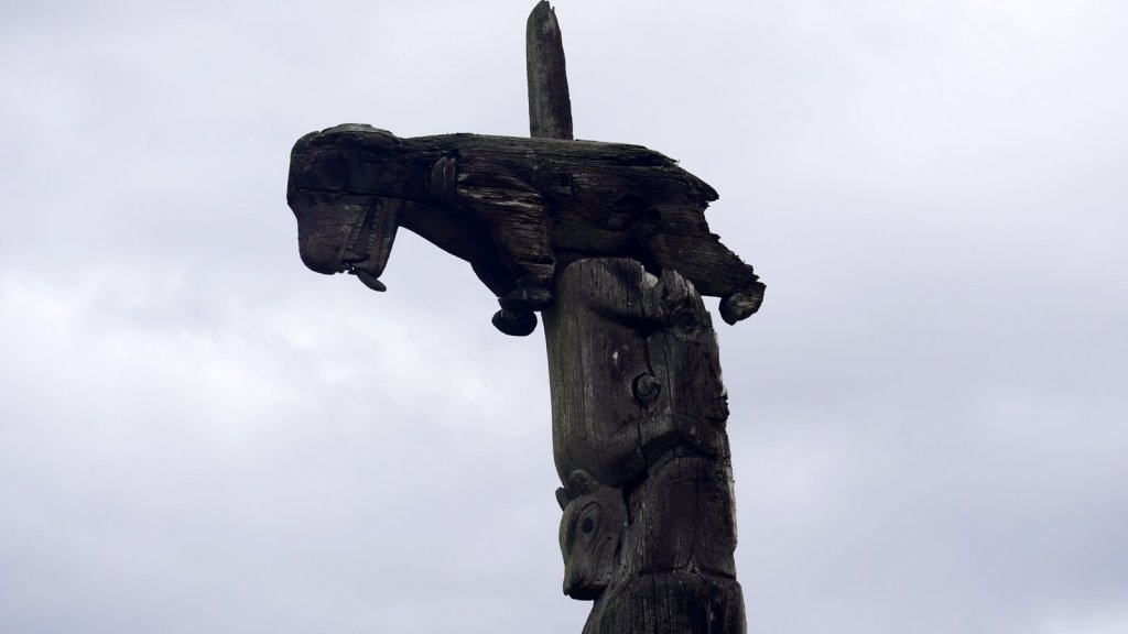
The last 4 days we have been driving South in British Columbia. First over Hwy 37 to Stewart and on to Kitwanga, and then West (Hwy 16) towards Prince Rupert where we will catch the ferry in 3 days time to Haida Gwaii (Queen Charlotte Islands). The road is well maintained and rolls over the mountains through forests and along many lakes. We visited 2 lakes on this highway. At Boya lake, we took a walk halfway around the crystal clear green coloured lake to visit a large beaver dam. The trees around the dam were felled by beavers. It was a sunny day. Further down we camped at the long narrow Dease lake close to the lake front. We were the only one here but at 10:00pm a Landover rushed in the dark and parked behind us. They also left before us in the morning. Must be the end of their holiday and had to be back in the office on Monday. We fortunately do not have this time pressure. We are, however, in search of nicer (dry) weather. It has been raining most of the last 4 days. We did enter at one point the Temperate Rainforest so I guess we could have expected the rain. It was a surprise to see the trees around us becoming a lot taller and wider. Going South we were again closer to the Alaskan border which runs as a panhandle south through the fjords. At Stewart in BC, the fjord is shared between USA and Canada. It is again an old mining town. It started with prospectors looking for gold but ended up with copper and silver mining. Mining is still ongoing albeit many mines have closed. At Stewart you cross over the border to Hyder (an isolated American mining/tourist town of 15 residences) to see the bears catching salmon in the fish creek along the boardwalk. One side of the creek is free but without the bears. For the other stream you had to pay $5 entry fee PP but it did have 2 bears roaming through the steam and eating fish. They were very choosy since there were enough fish to choose from. Further up the road (turning into a rough gravel road) is one of the largest glaciers that you can drive close-by. But it was raining hard and the mountains were covered in mist/fog. So the chance of actually seeing the Salmon Glacier was small. Moreover the day before we had a clear view of the smaller bear glacier with nice blue coloured snow/ice. Instead of waiting for the mist to lift and the rain to stop, we decided to drive on south to Kitwanga. There are 2 towns in this area which have around 11 to 15 totem poles each standing along the road. The poles are clan poles and nicely carved. The original paint has eroded away over times. I do not know how old the poles are. They are very well carved and showed the clans symbols but also must tell some story. The poles have no religious meaning. In Kitwanga we saw the burnt remain of a wooden church tower (1893) which was set on fire some time ago.
This morning we finally managed to book the ferry to Haida Gwaii. This is a group of islands in front of the British Columbia coast at Prince Rupert. The ferry takes 7 hrs. The islands are unique because they were never covered with ice during the last ice age. They have large stands of old growth trees. The natives have also not been suppressed by the European immigrants so there is still a strong native presence on the islands. We will stay there for 3 nights. There is only one 57 km road on the northern island and a few track on the southern island. A lot of the native sites can only be reached by boat. So we will most likely book a tour there.


Wouw, beren zo dichtbij..
Hoe lang blijven jullie nog? Wat een lange reis. Lieve groetjes van Jan en Jeanne
LikeLike