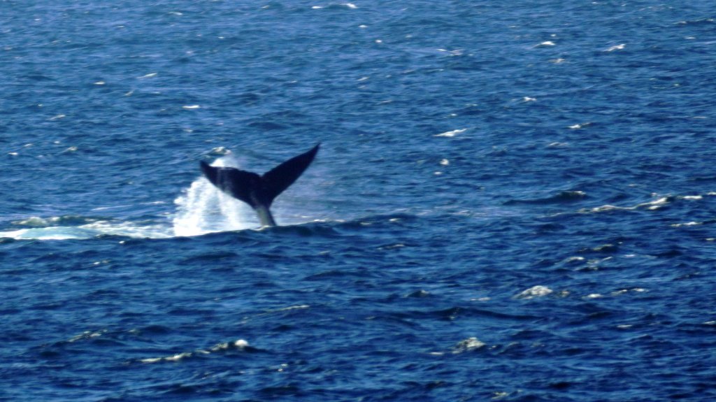
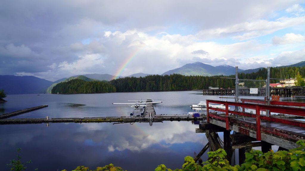
On the trip back to the mainland, the sea was calm and there was finally some sunshine. We also saw in the distance 1 humpback whale diving in and out of the water. We manage to take a poor long distance photo of his tail. In Prince Rupert, Martin and his wife (with their 2 dogs and a lovely granddaughter) met up with us and took us to another camping spot next to the seaplane base. They had brought along some more fish. One large slice of white fish we have been eating for the past 2 days. The salmon will follow soon. Martin, if you are reading this, a hearty thank you for your generosity and hospitality.
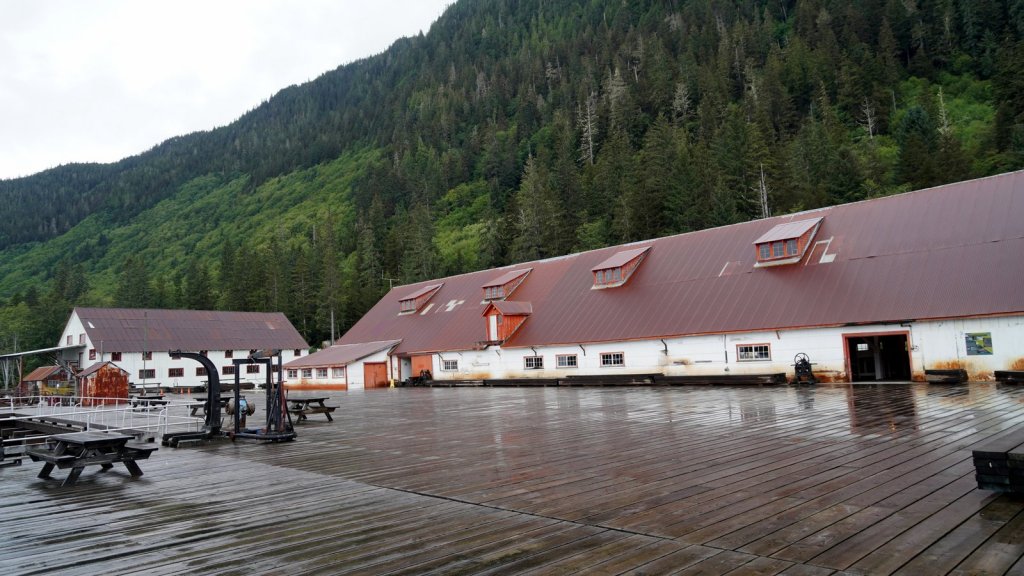
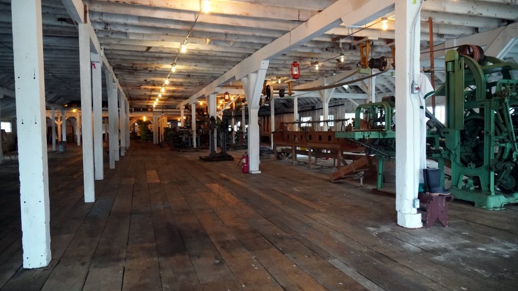
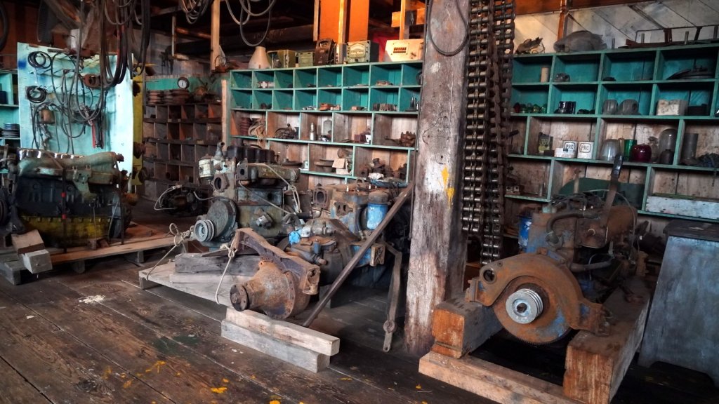
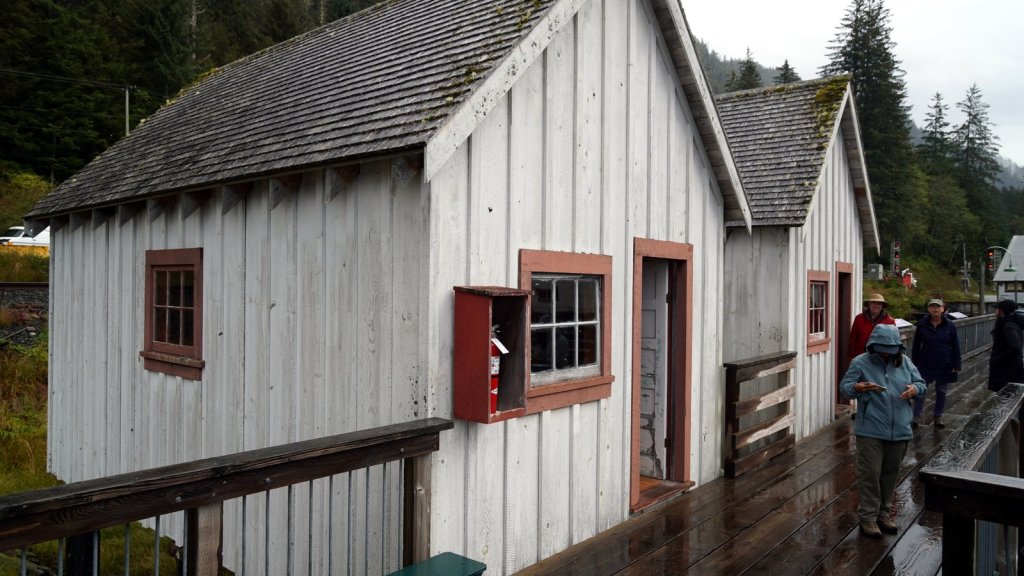
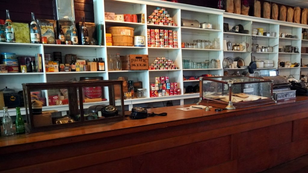
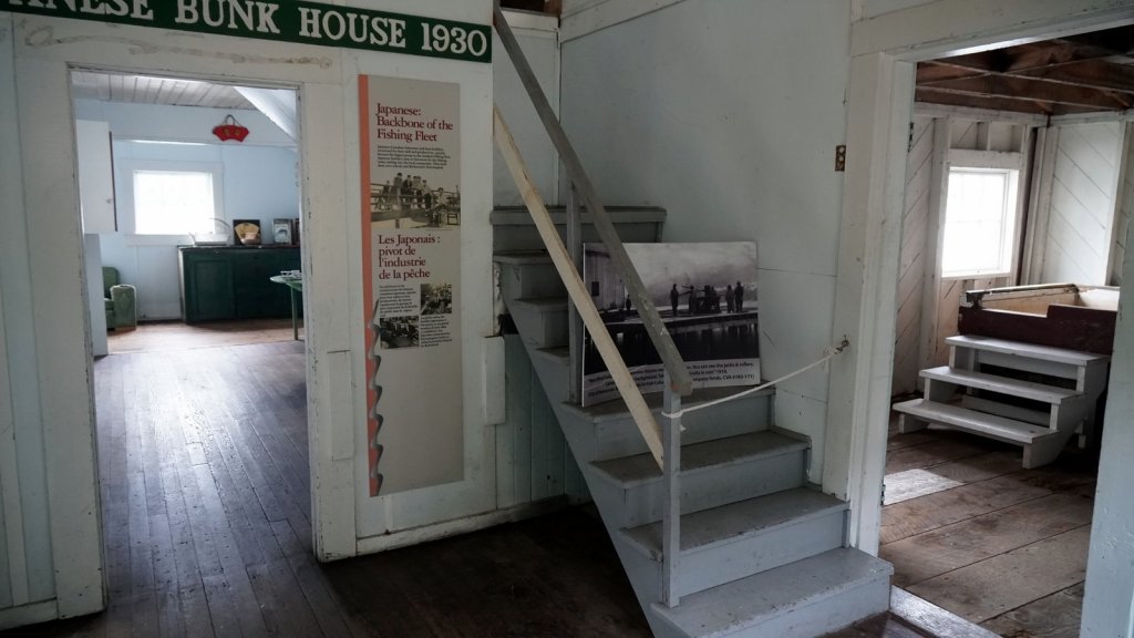
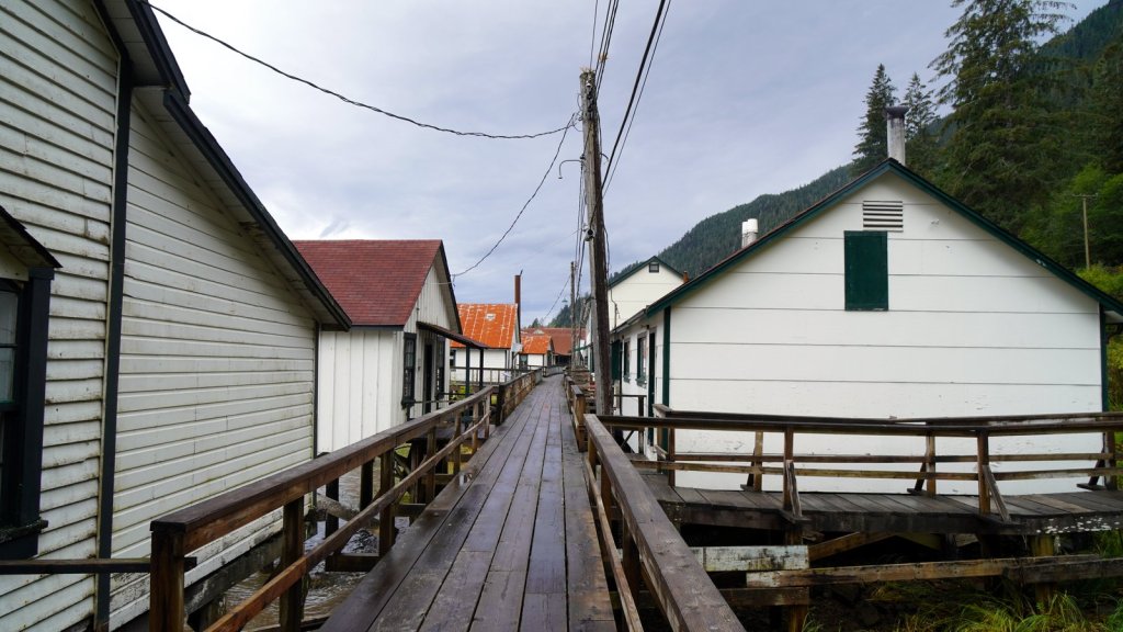
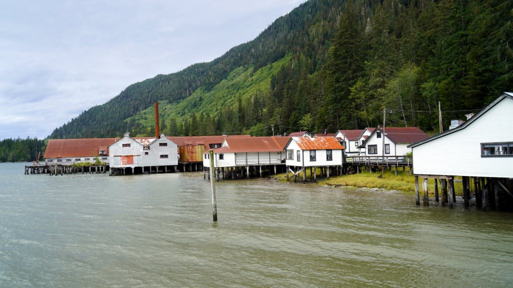
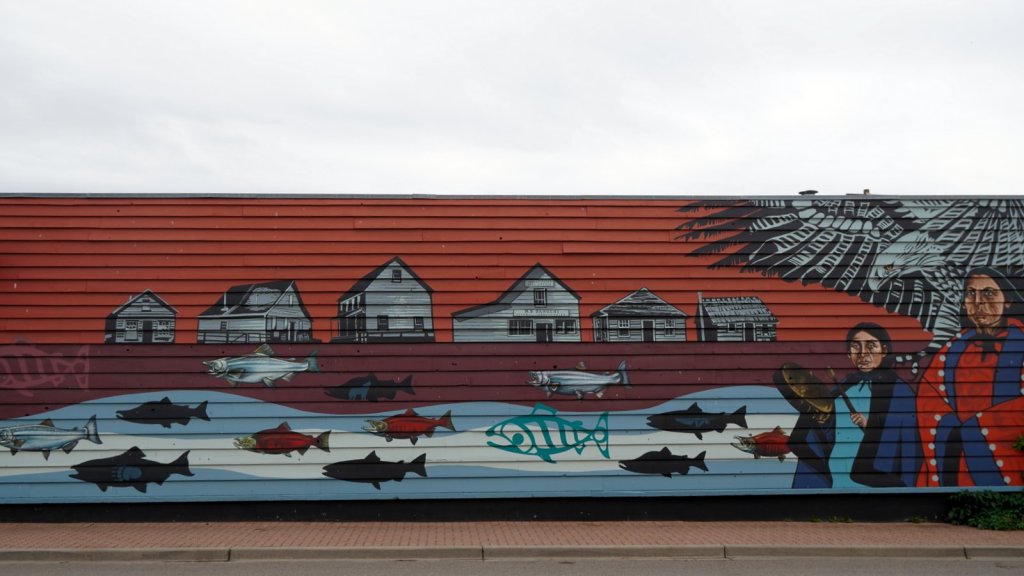
Before leaving Prince Rupert, we made a stop at the Northern Pacific Cannery in Port Edward. This salmon fish canning facility started in 1898 and was then one of many. It had its ups and down but was in operation till in the 70ties. It was interesting to see how up till 1920 all fish cleaning, cutting and canning was done by hand. There were large groups of Japanese, Chinese and Native Canadians doing the manual work supervised by people of European descent. At work the groups were not mixed. Each had a translator to avoid language problems and possible accidents. It was seasonal work. The company provided on site housing (and shopping) for the staff from May till mid September when the last salmon run up river.
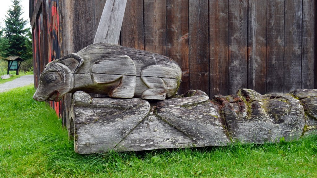
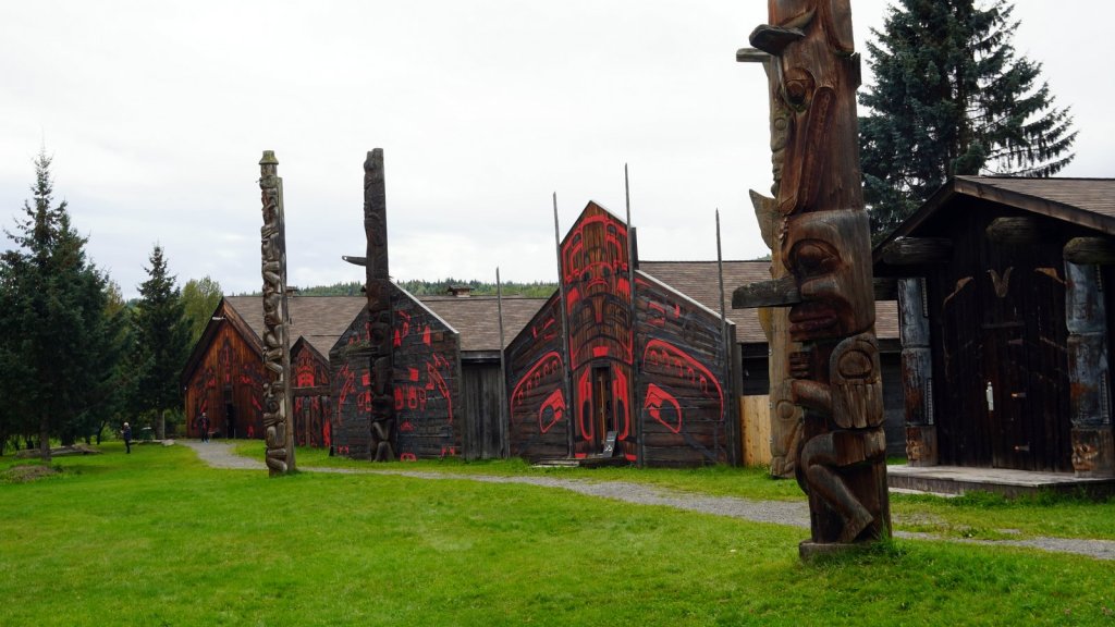
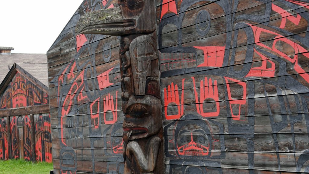
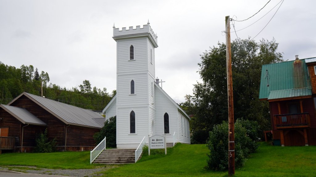
It is 718 km from Prince Rupert to Prince George. Hwy 16 follows first the Skeena river till Hazelton where we stopped for the night. This road winds together with the river though high snow covered mountains. Hazelton has a large first nation presence. We visited the local culture museum where they exhibit some items we had not seen before. One is a set of black spoons made from goat horn. The horn is heated in warm water and then baffled into shape. They also had wooden boxes which were made from cedar wood. Because of the long fibre in the wood they managed to bend a thin planks via incisions into a box shape. Outside the museum are various clan houses with their specific totem poles.
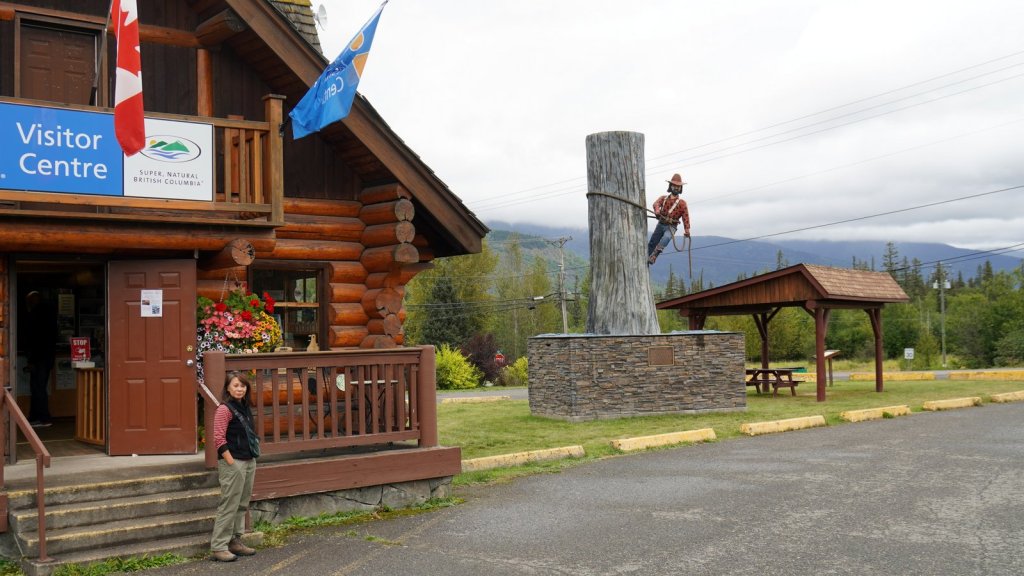
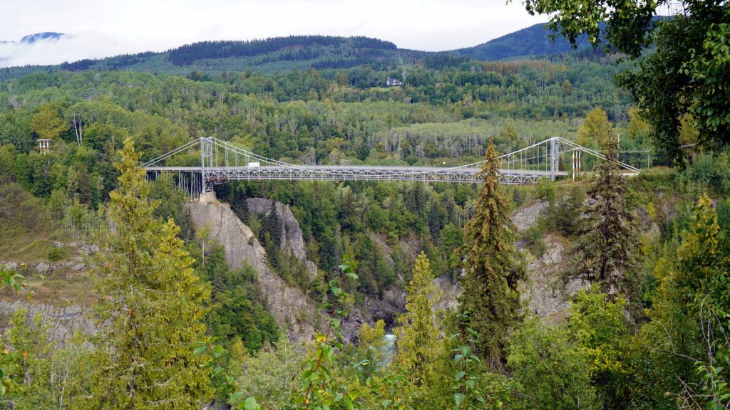
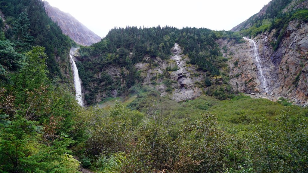
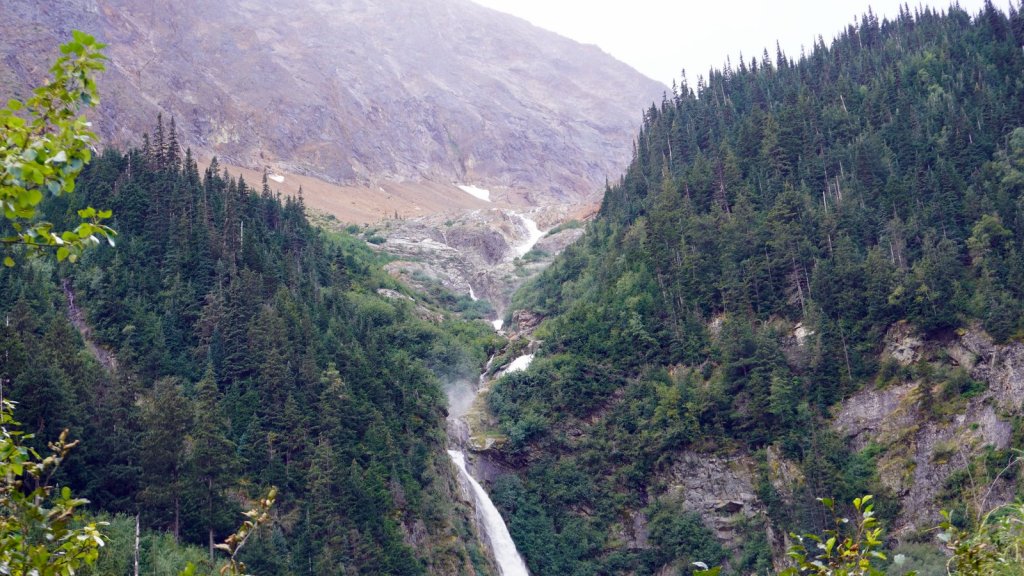
From Hazelton we started to follow the Buckley river further inland to the east. The land flattened out at 400 – 700 m high and you started to see grass fields with rolls of hay and here and there some cattle. At Smithers, we drove towards the mountains to do a walk through some large trees to view a twin waterfall. There are more larger towns along the way. The main income comes from logging, mining, agriculture and tourism which means logging trucks, air fields, grassland and RV campsites. It was time for a shower, hair wash, shave and laundry so we stopped in Houston at an RV park. Friendly owner and a clean and well looked after campsite with free Wifi. Our camper was dwarfed by the large RV’s around us. The rain had stopped and there was some sun. At night however the temperature dropped significantly and since we had parked underneath the trees we missed out on the warming morning sun.
The land flattened out even more towards Prince George. You could see the signs of logging along the distant hills and next to the road. Some areas were replanted. The city of Prince George is at the cross point of rivers, highways and train lines. The town did not appeal to us so we turned and drove South on Hwy 97 for the last 700 km to Vancouver. The sky had cleared and we had a lovely sunset and moonrise at the lake we are camping now some 52 km down the road.