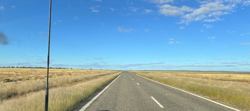
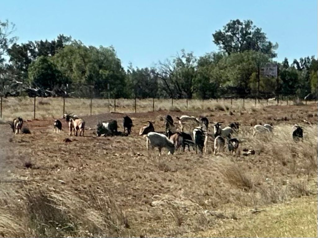
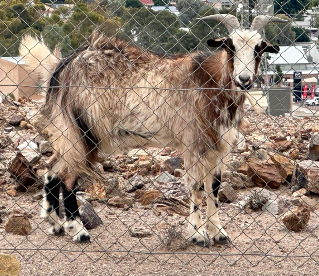
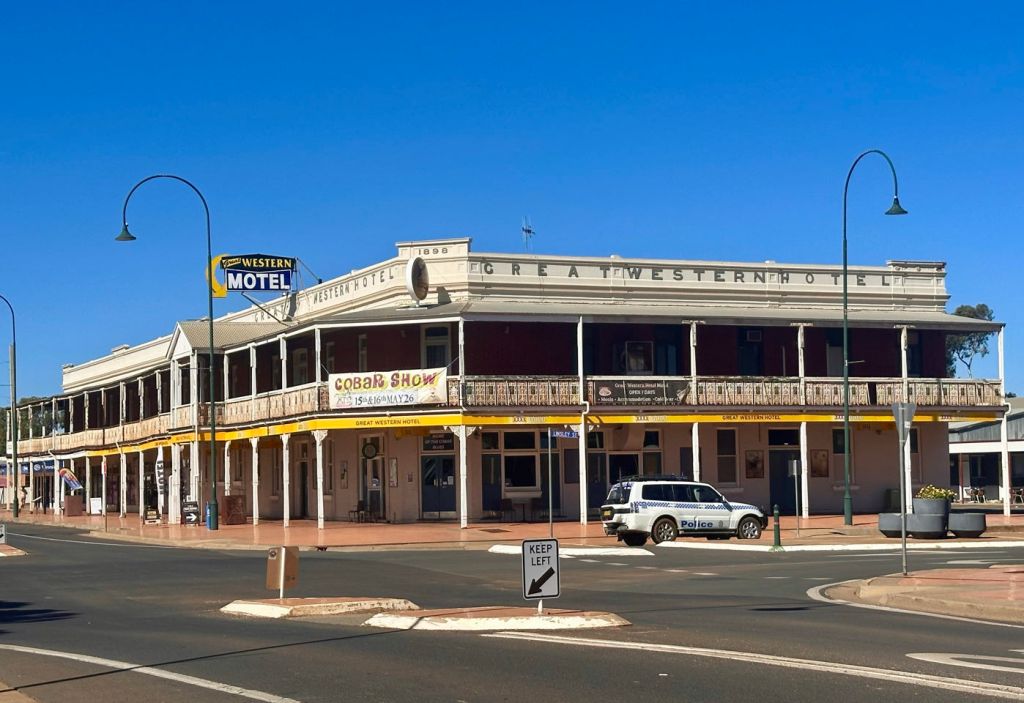
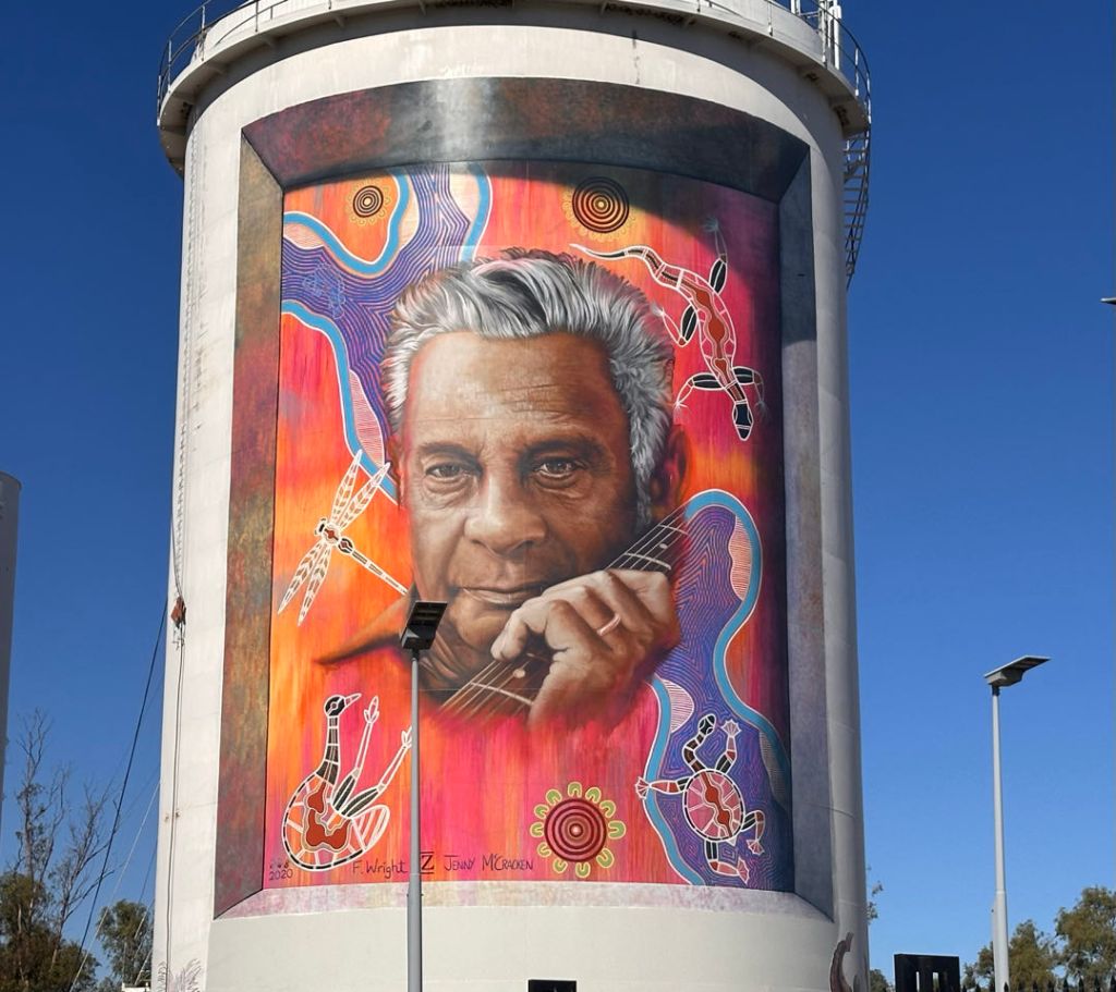
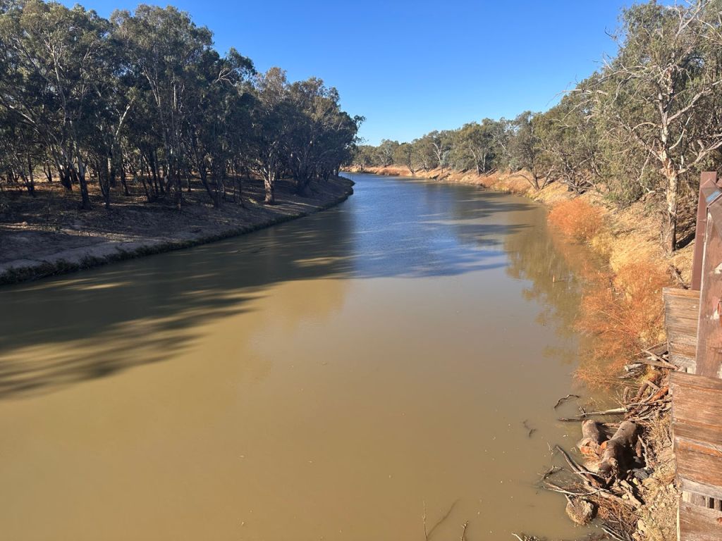
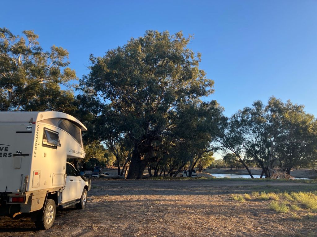
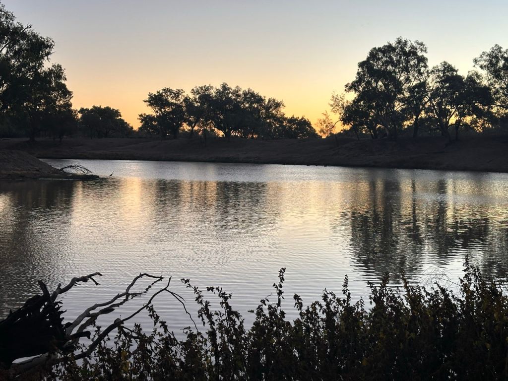
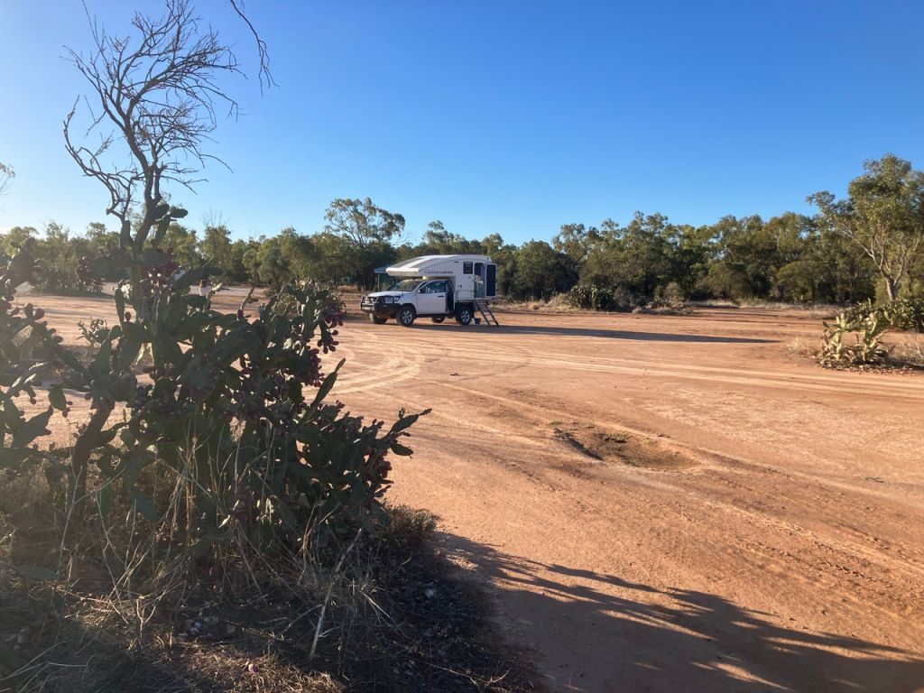
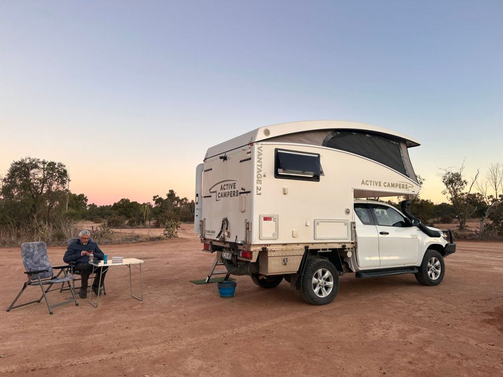
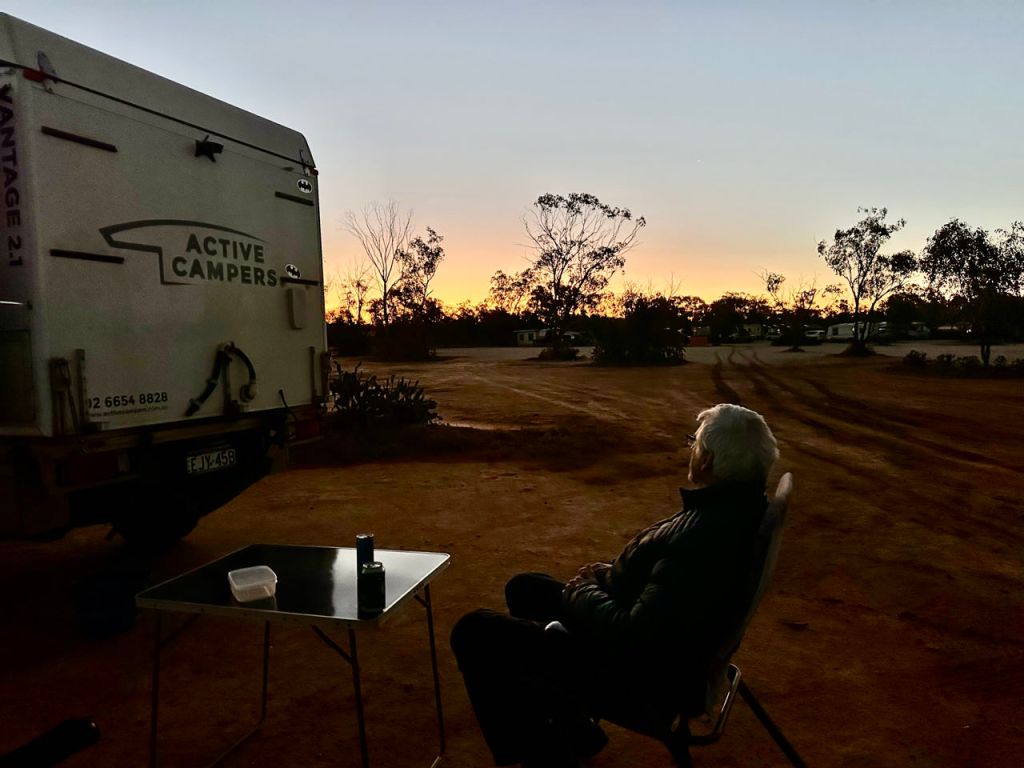
It is a long drive to our next highlight, Canarvan NP, where we want to camp at the entrance of the gorge. Today we did 444 km. Still 954 to go! Yes Australia is big and the drives can become monotonous. Still this is what it is: “Experiencing the Continent”. We drove through the green bushland east and after the mining town of Cobar, North. The 2 lanes road is well maintained and the many goats along the way mostly do not cross the road in front of you. Only 1 time we were surprised by a young one and the mother ran in front of our camper to show it the way. Most dead animals along the road are kangaroos so they are not as well adapted to the traffic. In Bourke we hit the Darling river. It was a non event compared to the Murray river at Echica. No peddle steamer or historical walk. Only a 1920’s diesel engine and a slow flowing rusty colored river. We did find however an excellent free campsite along the river under large blue gum trees some 17 km outside town. So all good in the end. Unfortunately the weather here in the last few days is cold. Daytime temperature did not go above 16 degrees and 6-8 degrees at night.
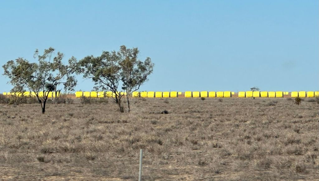
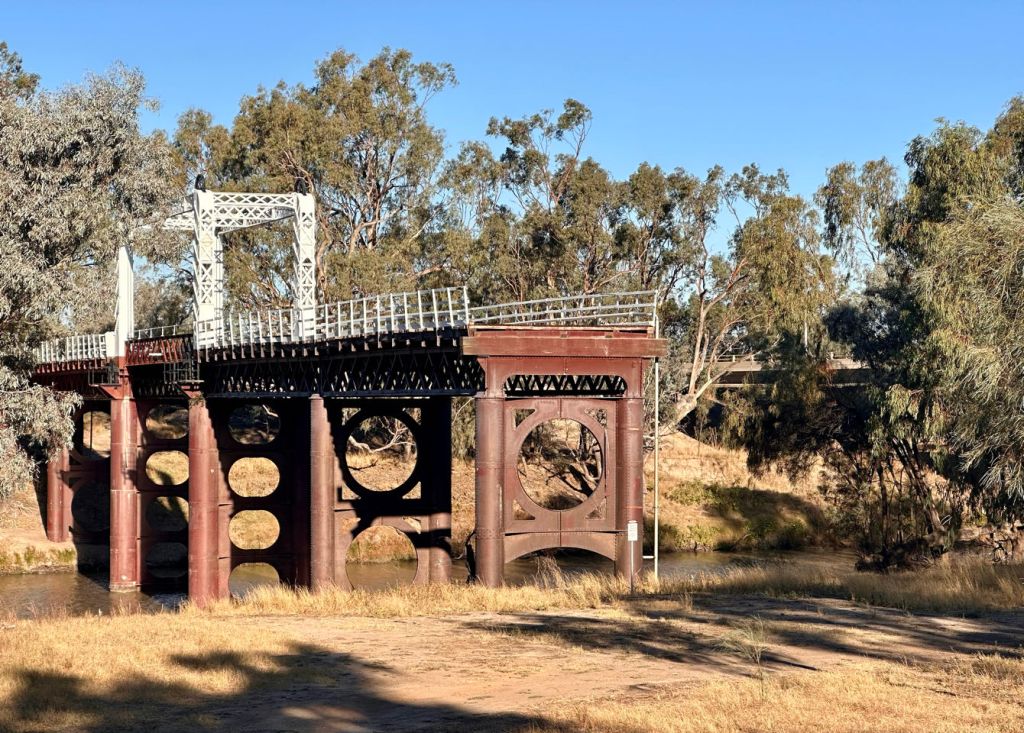
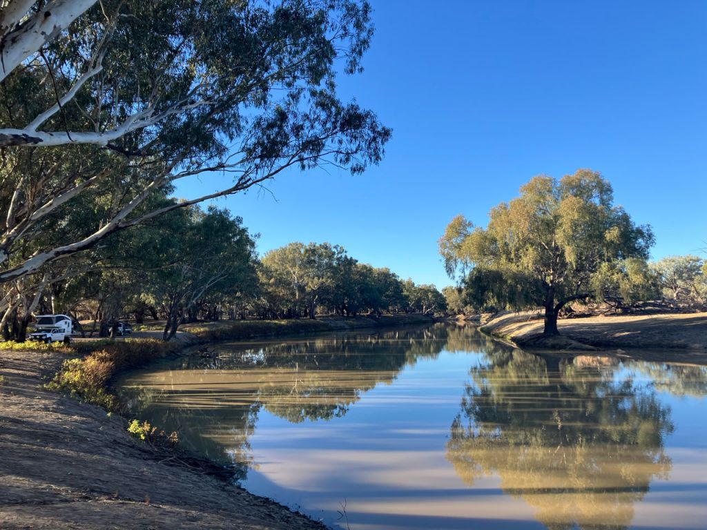
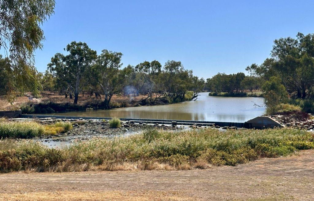
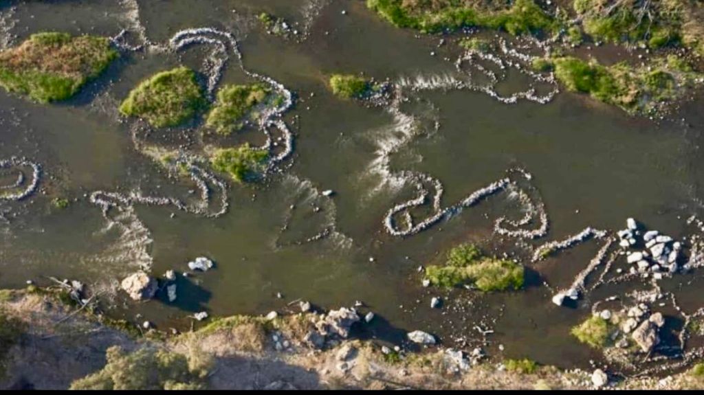
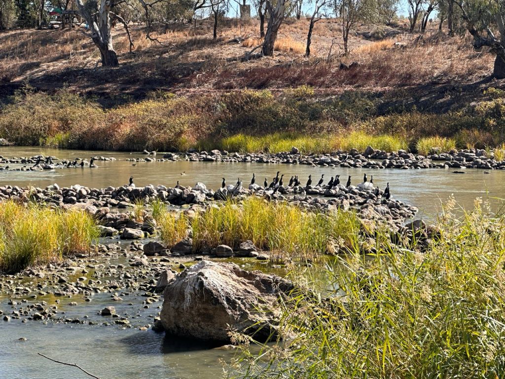
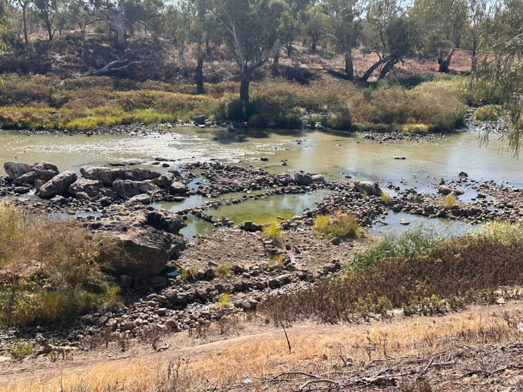
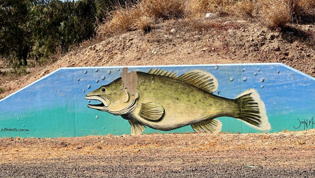
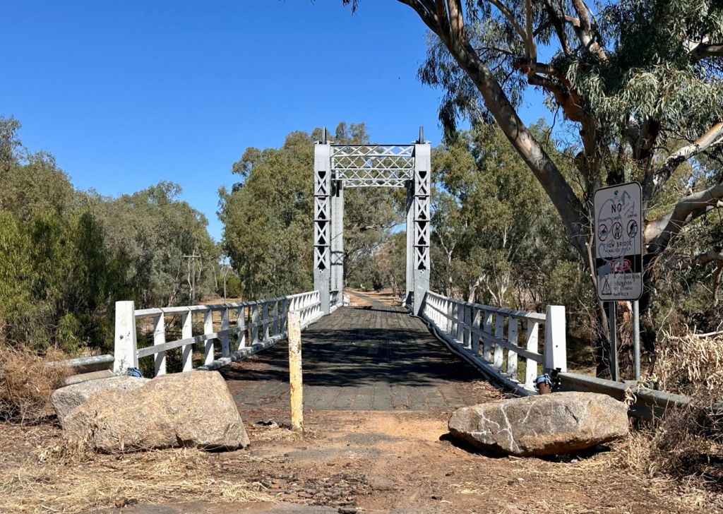
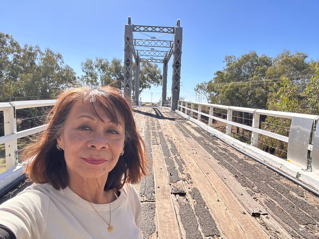
We stopped in Brewarrina on the Darling River. This town has several highlights. First the fact that you actually see the river flow (over a weir) and the water is clear. It can contain a lot of fish. This was also noticed by the aboriginals who had made catchment traps and storage ponds in the shallow fast flowing river (second highlight). The caretaker of the Aboriginal museum explained how the tribes’ men (there were 7 clans in the area) stood in the river and scooped up the fish into the retention/storage ponds. It is a system built some 40.000 years ago as described in the book “Black Emu” which Rudy read during the last Australia trip. The last highlight is the old lift bridge which still is in use for walkers. We had seen a similar one yesterday, along the Darling River. Driving further we saw white cotton flowers stuck in the grass along the road. Left and right are large empty sandy fields. They must be harvested cotton fields. We also saw again the large colorful plastic covered rolls (see yesterday’s photo’s). So, they are not rolls of hay but rolls of cotton. The map shows that the area can be swampy. In town on top of the high river banks they had also placed a concrete retention wall. So the seasonal floods can go high.