In the end we stayed another day at Margaret and Perry’s house. Rudy could catch up on his blog writing and Jamaliah on memory stories of Brunei.
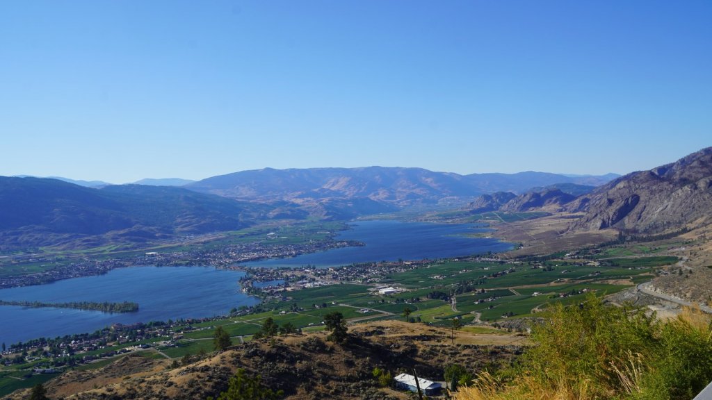
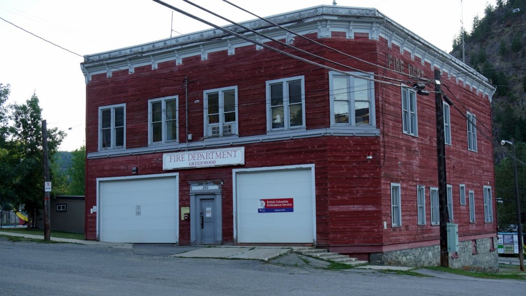
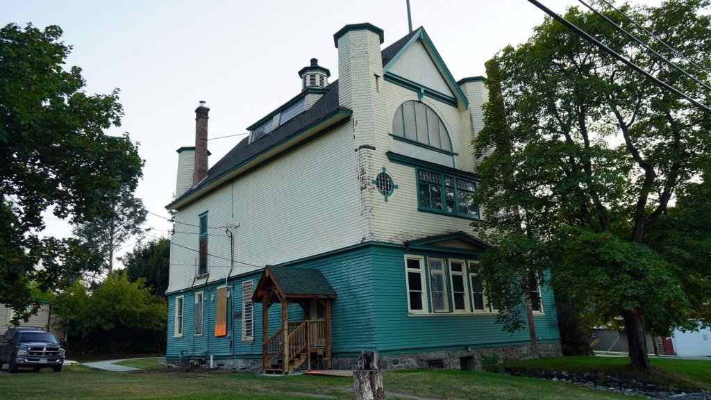
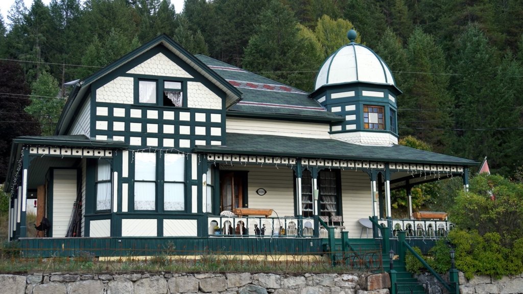
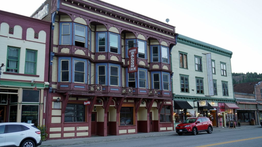
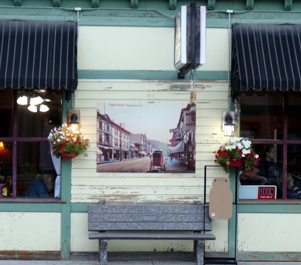
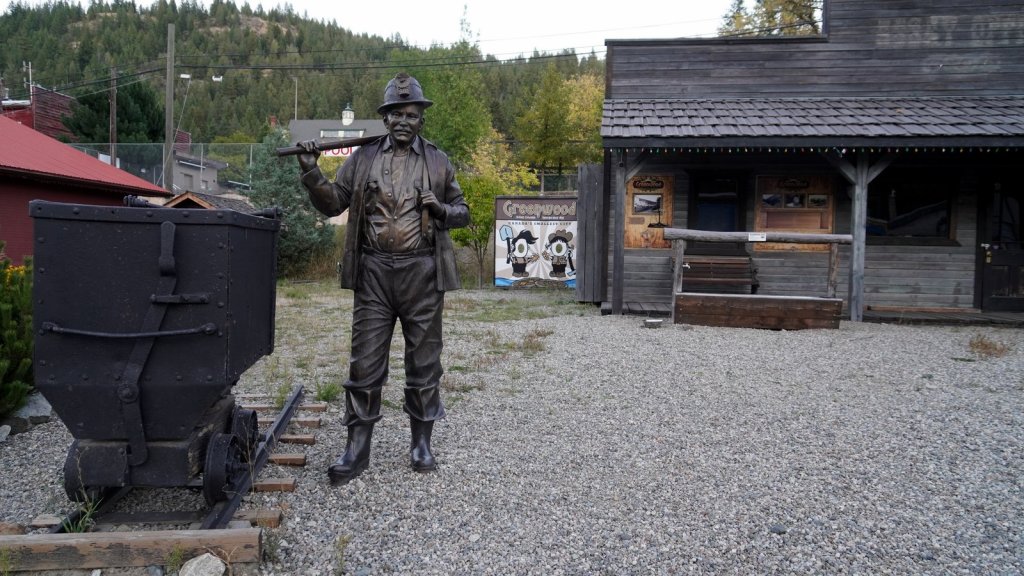
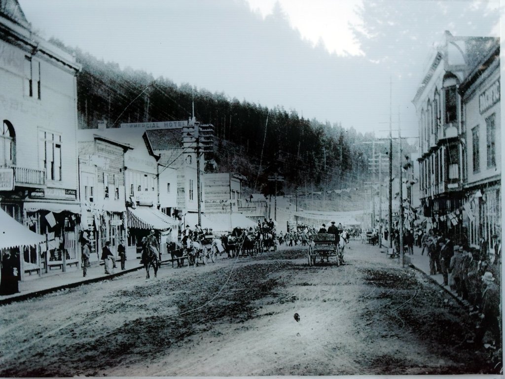
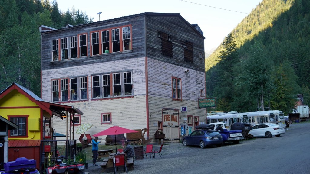
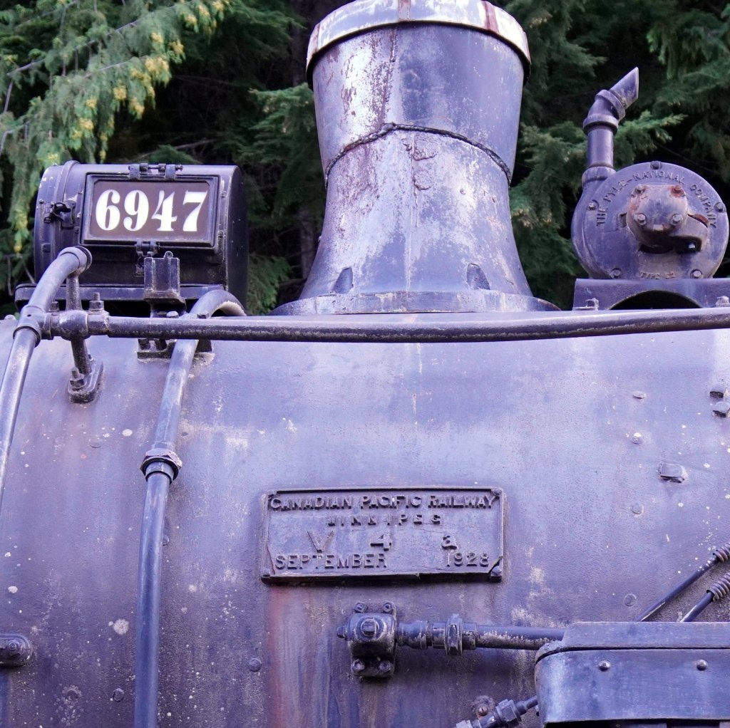
The weather was beautiful (sunny and warm) when we drove along Highway 3 out of Harrison Spring. This route was recommended to us by Cheryl, a Canadian lady we met on Haida Gwaii. So, instead of crossing the US border to Seattle, we will cross the border at Waterton National park which is an extension of Glacier N.P. (USA). Crossing the Rocky Mountains from West to East means a lot of climbing and descending up valleys, over ridges and then down again following long narrow lakes. We passed over several summit passes and the highest one was Pauline Summit at 1536m. The area is becoming dryer which is reflected in the different type of trees (Lodgepole Pine) which are scattered around the mountains. Many of the valleys are grassland or are covered with orchards and grapevines. We stopped at one of the many fruit stands along this road and bought some fresh fruit and sweet corn. The trees on the hills along the road are been logged in many places but it is done in such a way that it does not cause a severe change in landscape. Most towns we visit started off by a mining boom around 1850 followed by a bust after WW1 or WW2 or when the ore ran out. In one such a town, Greenwood, we spent our first night along the highway at the local campsite (in fact day 113 since the start of our trip) The campsite is next to what is left over from the old town and most likely built on top of the old buildings. The town has restored several of the old wooden buildings and must be a major attraction in the summer season. After labour day weekend (first weekend in September) the tourist season stops and as such, several campsites and attractions are closed too. This campsite is at 900 m. At night the temperature dropped and we had ice on the rear window. In daytime, when the sun shines, everything heats up and we enjoy the coolness the aircon supplies, at least if we drive below 500 m.
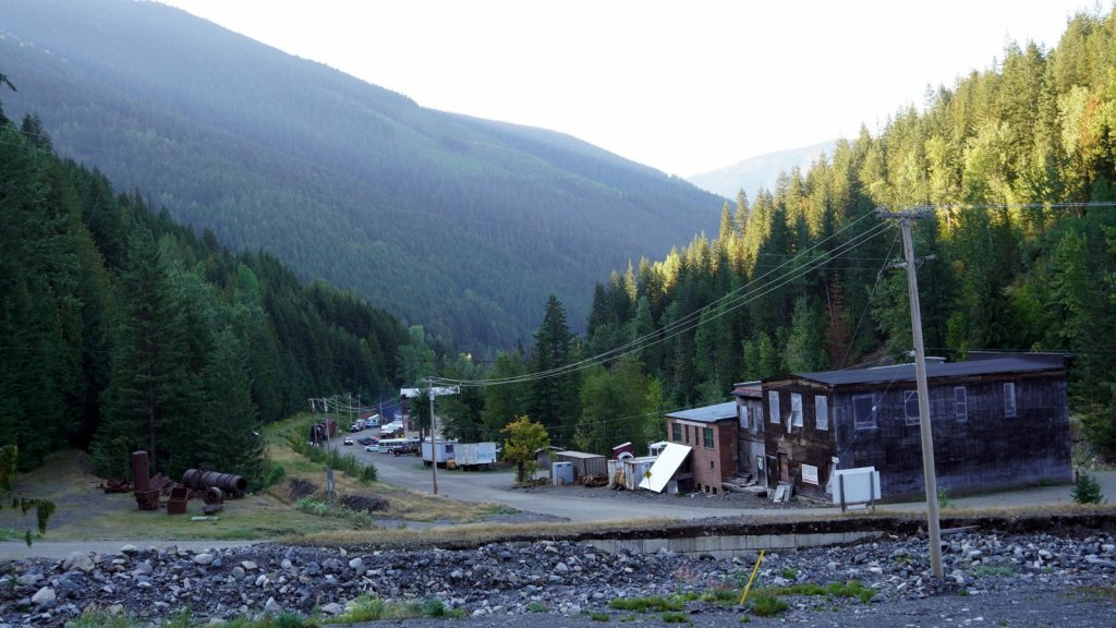
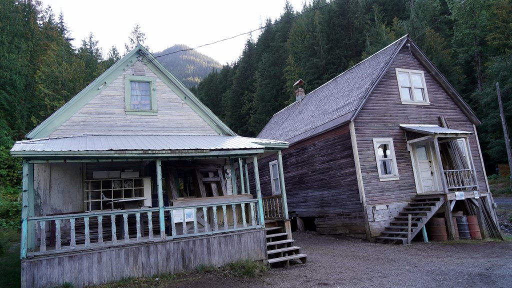
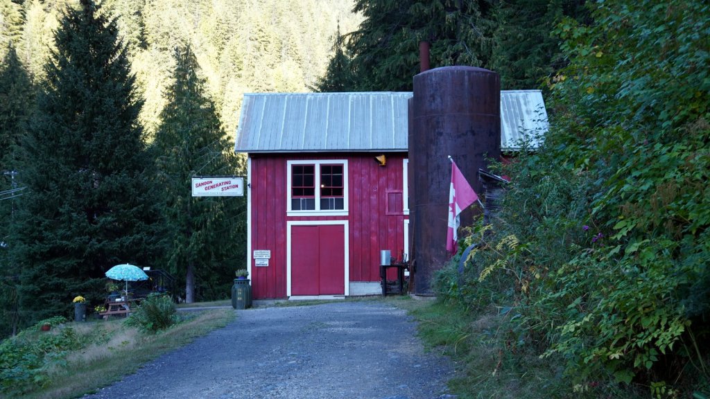
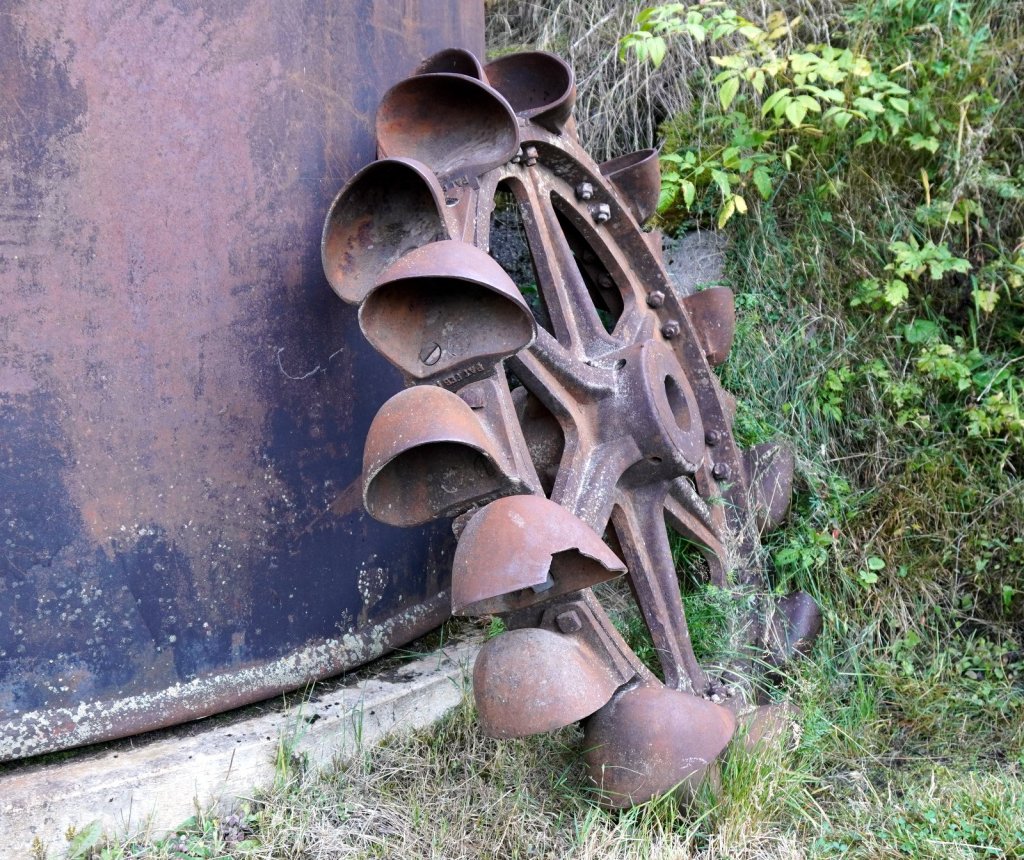
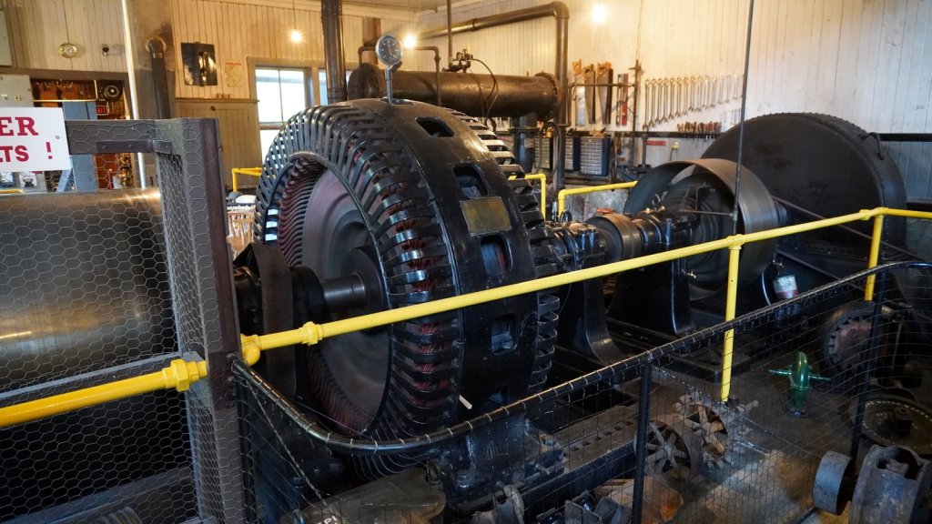
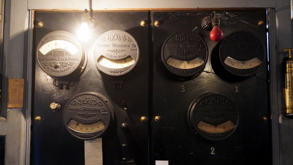
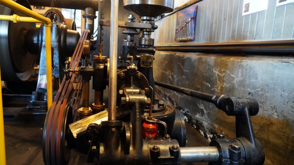
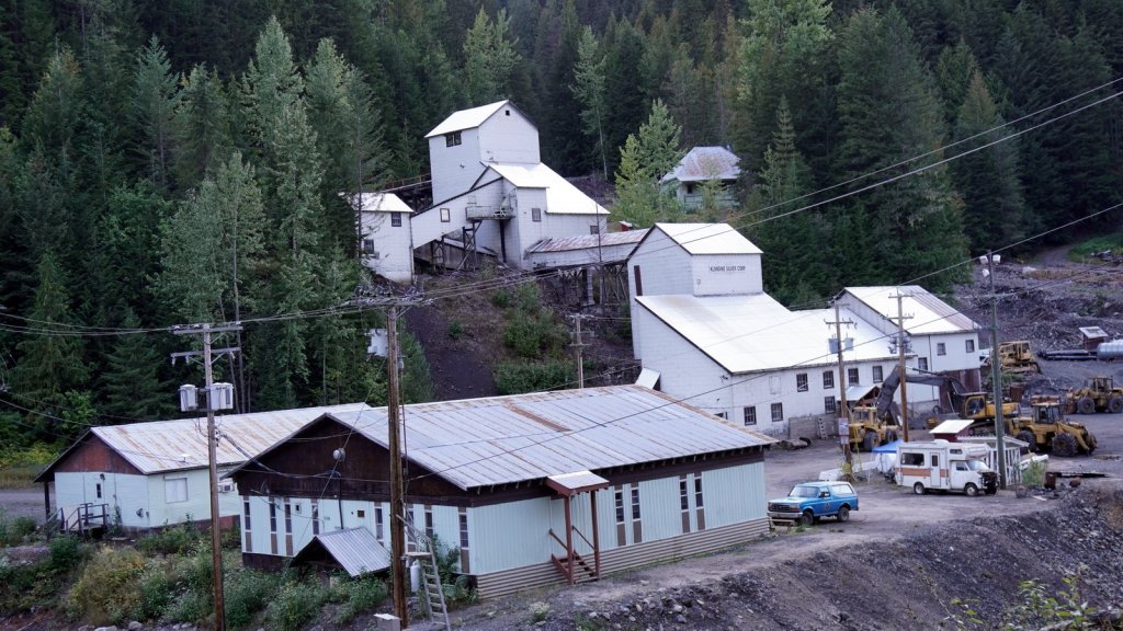
At Castlegar we made a long detour off Hwy 3 following Hwy 6 going north along Slocan lake and then at New Denver turned east to cross a mountain ridge. We read that there is an old mining town (Sandon) with the oldest still running hydroelectric plant. We could not pass that by. Of the old mining town there is not much left but the Hydro electric plant is still spinning away generating power for the local area and exporting it to the grid since 1897. The restoration and maintenance is an act of love by several local volunteers. Nearby is an old depleted mine which is being restored and up for sale. We camped a bit further up the hill at an open space on a gravel side road.
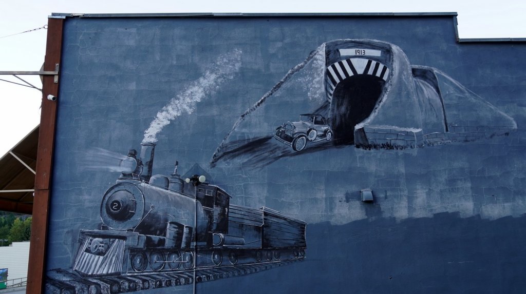
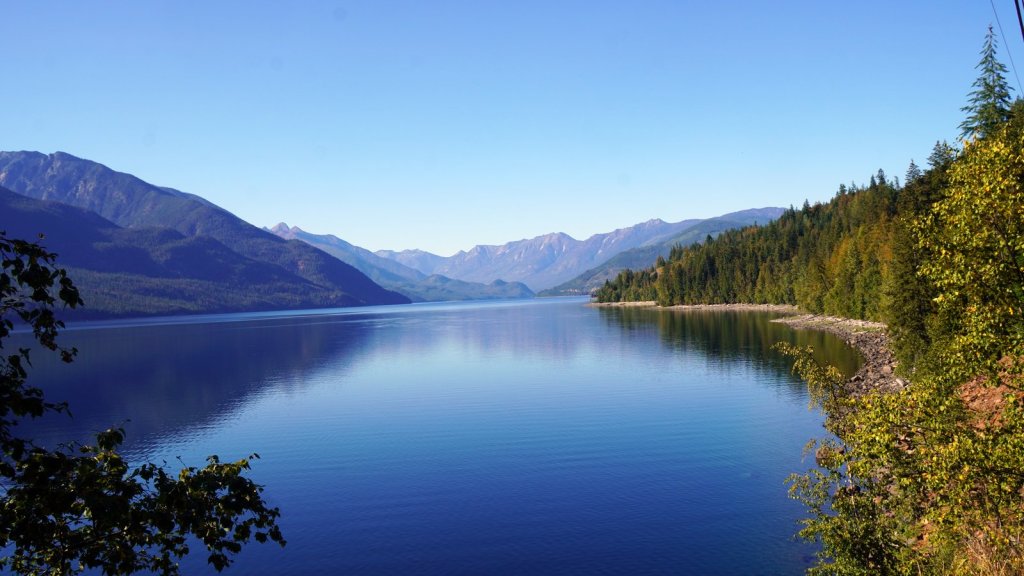
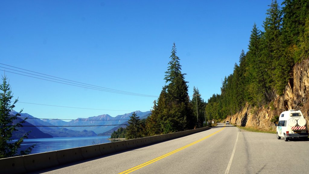
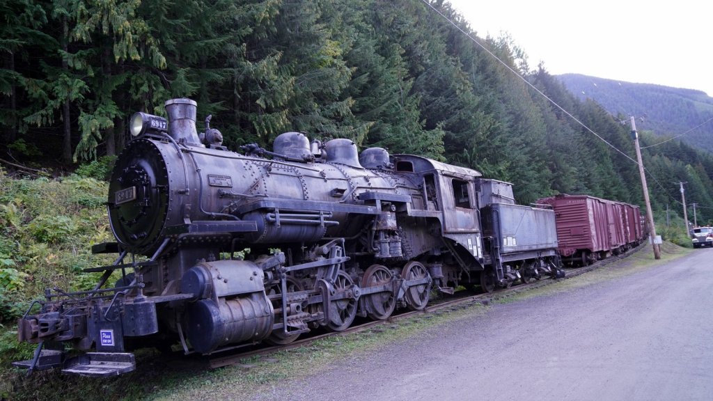
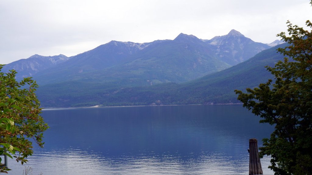
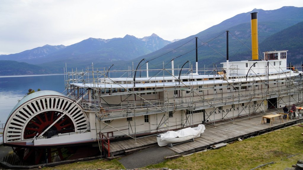
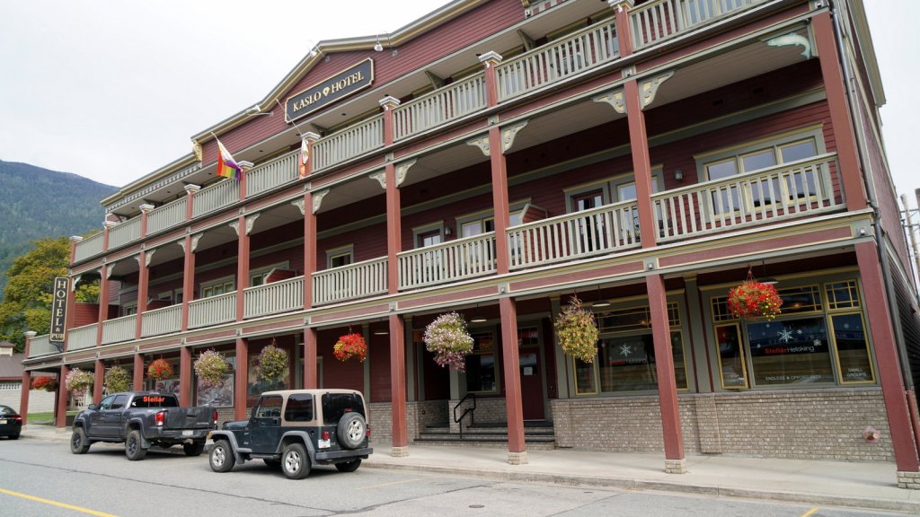
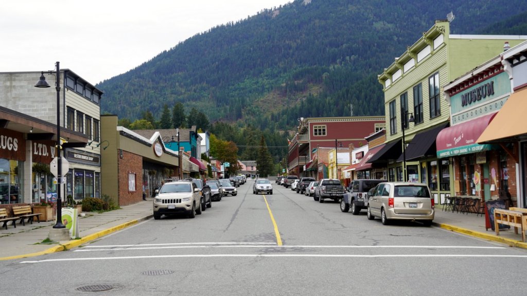
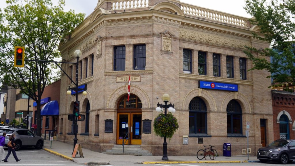
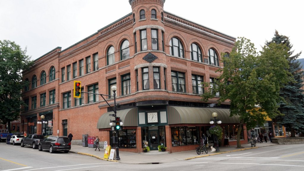
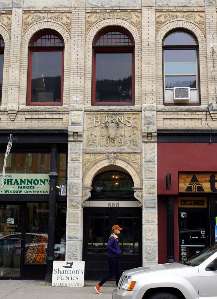
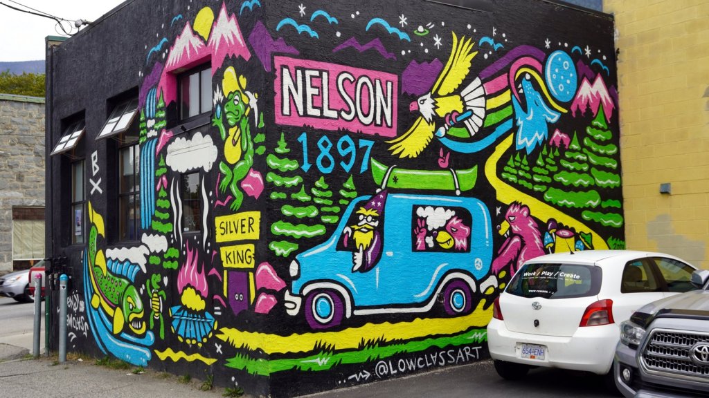
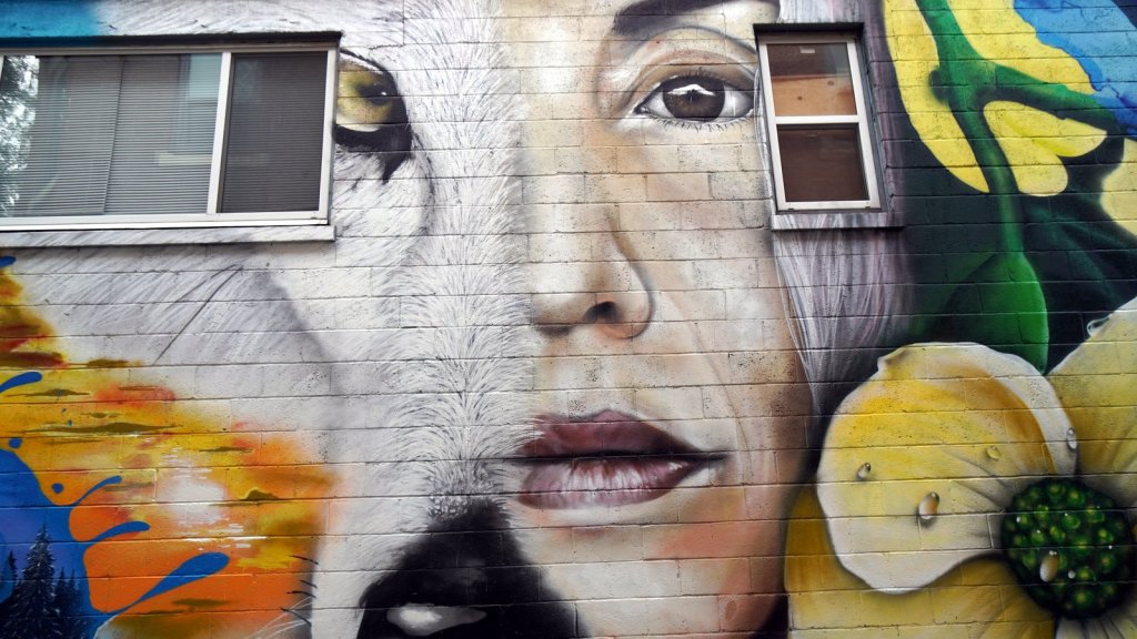
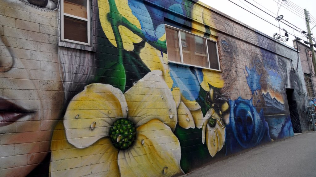
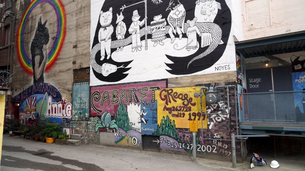
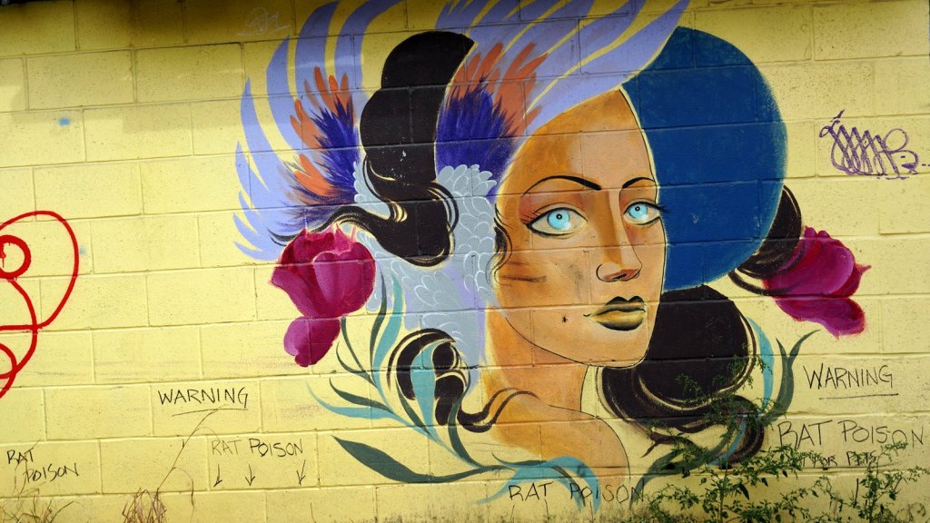
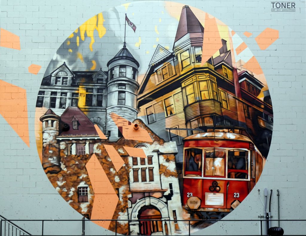
The next stop was Kaslo, on the long and narrow Kootenay lake. In the mining days, goods came from the north down this lake via a paddle steamer. The ship now lies on land next to the lake. As said, the tourist season is closed so we could not see the inside of the boat. In fact it was covered with scaffolding and being painted/repaired. Further down the lake is the city of Nelson. It is at the junction of the lake, several roads and the train line. The US border is also close by. Instead of usual wooden building, the town has many stone building from around 1900. Why these are stone and all other old towns had wooden buildings is not clear. Maybe this town was built to stay and not just another mining town. The buildings have been restored and are in use as shop, restaurant and/or bar. The town has also an annual mural festival. In the alleys behind the main street many back walls are covered with murals over the past few years. We drove back up along the lake to take the free ferry across to Hwy 3A (Kootenay Bay) and then catch up with Hwy 3 going east again. We found a tree covered rest area along the highway with flush toilets and picnic tables to spend the night.
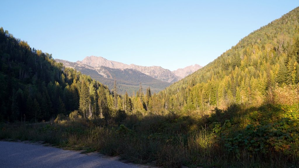
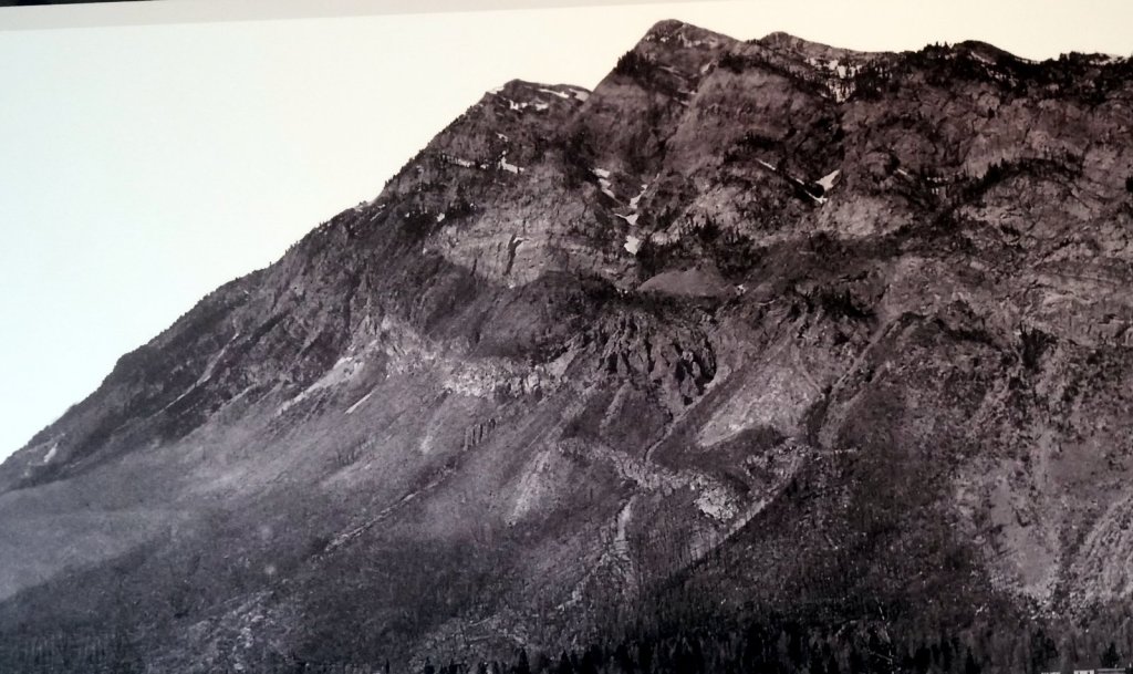
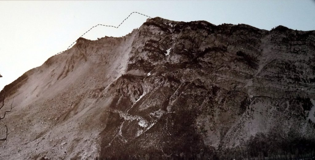
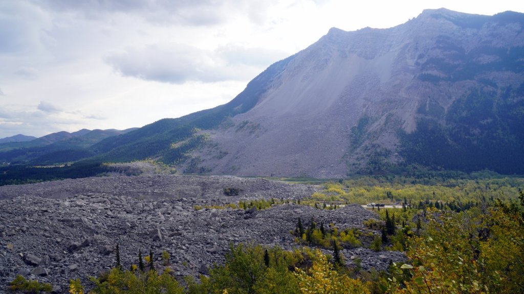
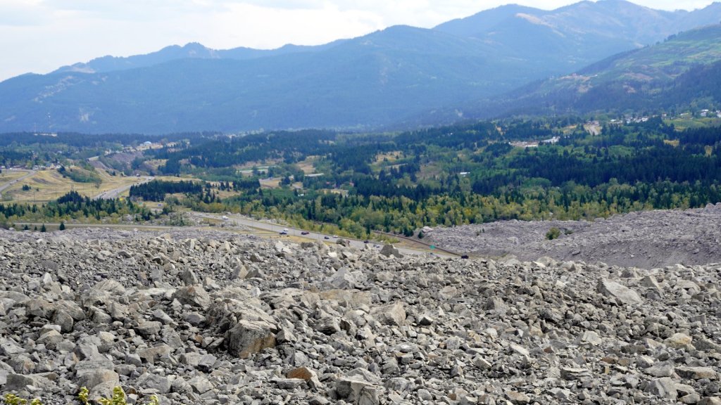
Further East Hwy 3 climbs to above 1000 m into the heart of the Rocky Mountains. At the highest point (1396 m) you cross into Alberta. In-between the high peaks is a wide plain. It starts to look like the traditional prairie. Hilly grassland with here and there some trees. At Frank, there was once a coal mining town. The coal seam is vertical due to the large tectonic forces from the past. The rock face of the mountains are unstable and prone to landslides. Because of the disturbance due to mining, one side of Turtle mountain came tumbling down in 1903. Half the town was destroyed and 70 people died. Despite this experience mining was resumed for another 10 years till it finally stopped.


Prachtige verhalen Rudy. Je zou een boek kunnen schrijven over al die mining towns. Krijg je Jamaliah ook al mee in al die donkere ruimtes die je bezocht hebt ?
Keep going strong !
Groeten
Kees
LikeLike