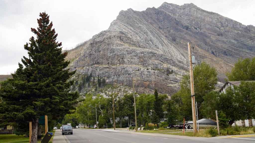
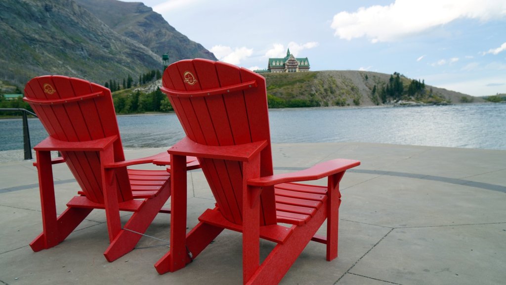
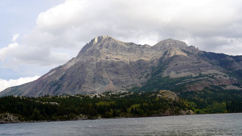
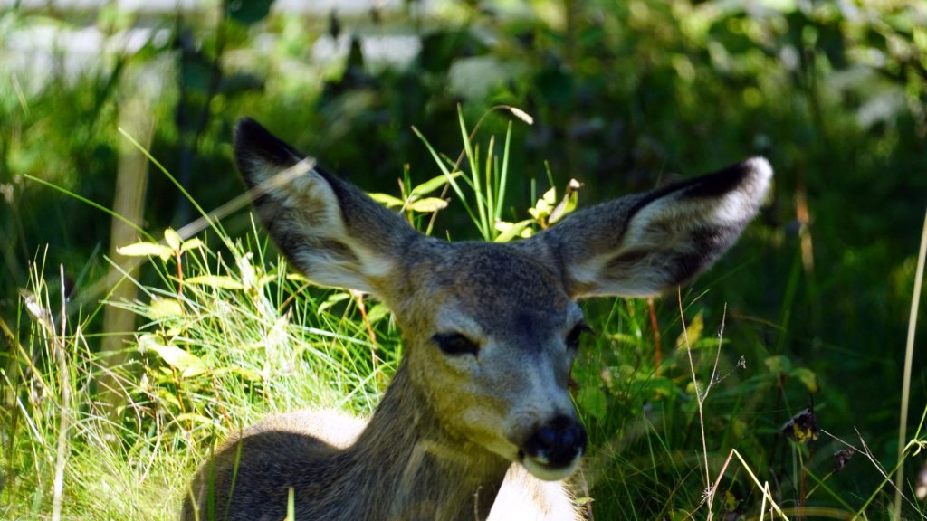
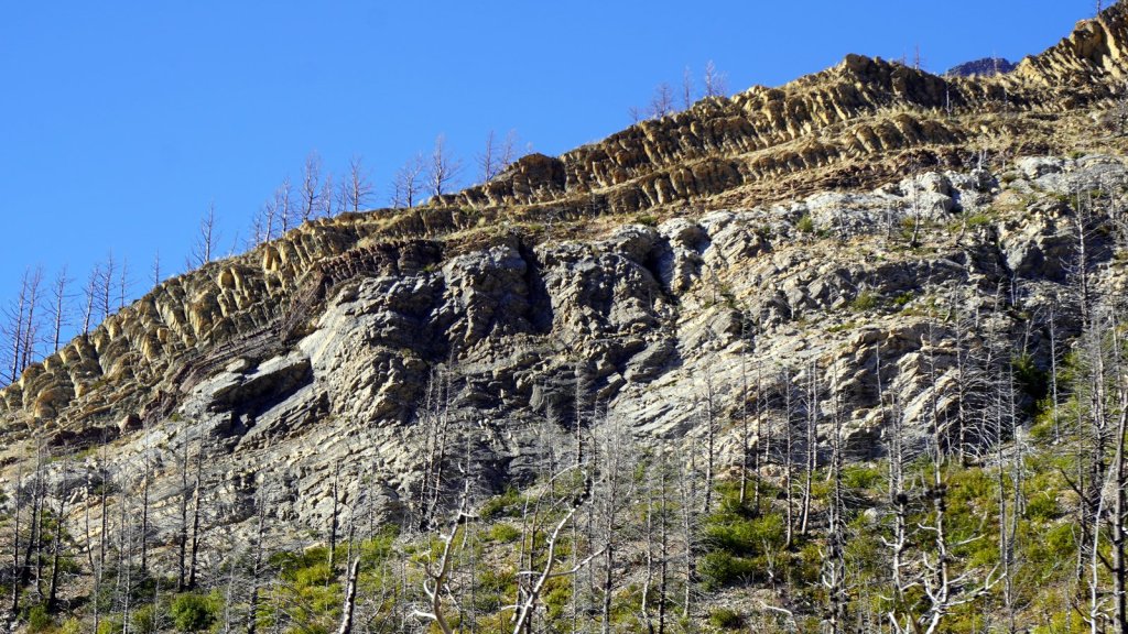
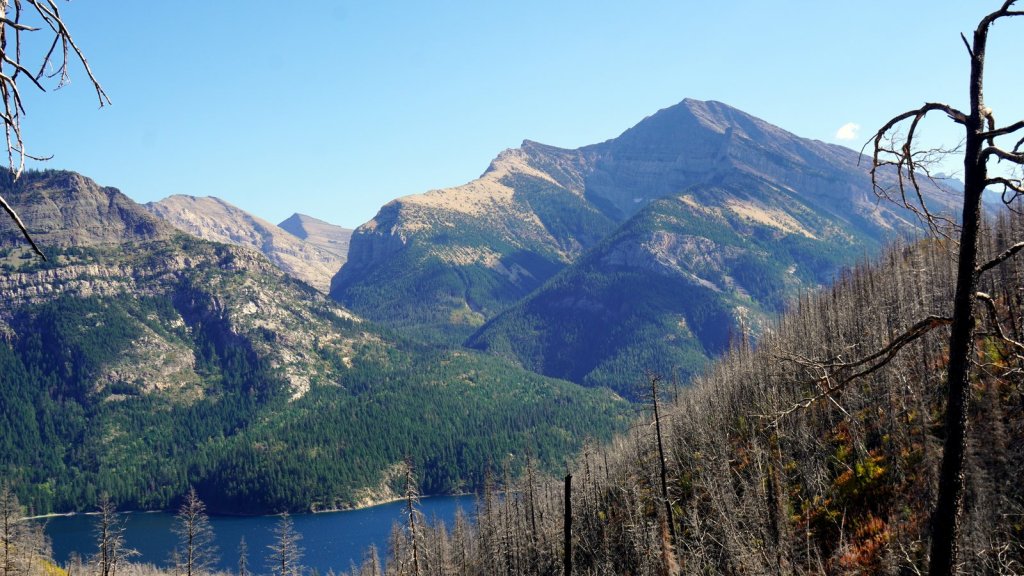
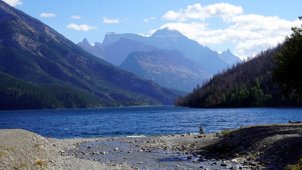
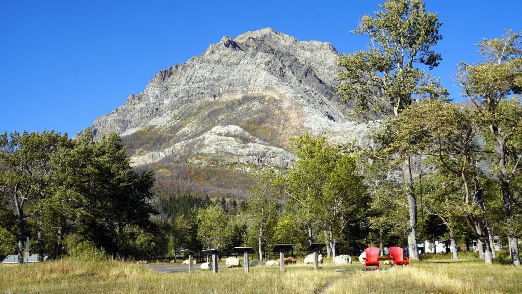
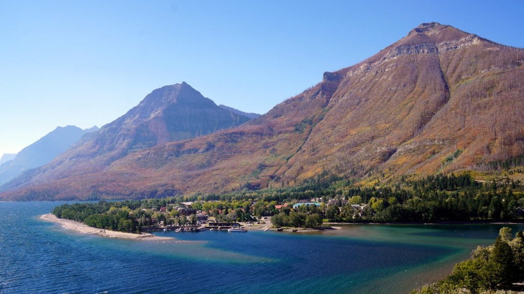
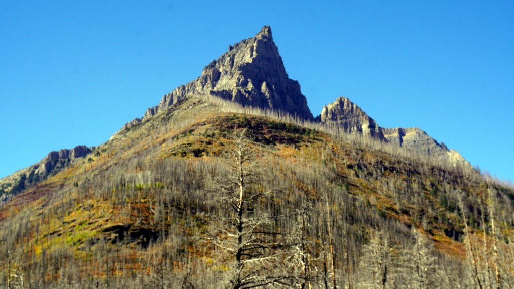
After spending some time at the “Frank Slide” interpretive centre we drove further east on Hwy 3 over the high prairie plane at 1400 m. The wind was strong and at several places groups of windmills harvested the wind power. We turned south on Hwy 6 towards Waterton Lake National park. This park together with the US Glacier park just over the border, is a World heritage site and also called the Peace Park. Camping inside the park is only allowed at the official campsite which is next to the lake. You are surrounded by high rocky mountains which show the forces of nature by the folding of the rock layers. At the moment, there is a strong cold wind blowing over the lake which rocks the camper. Since we have an electrical hook-up we decided to make some hot chocolate. For Rudy with Rum.
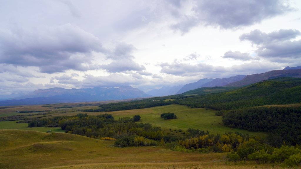
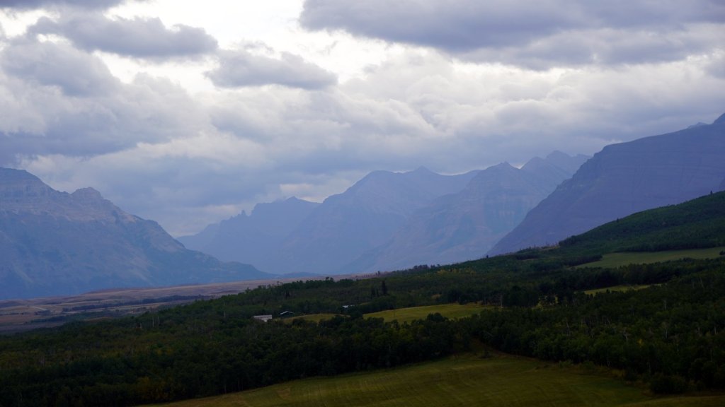
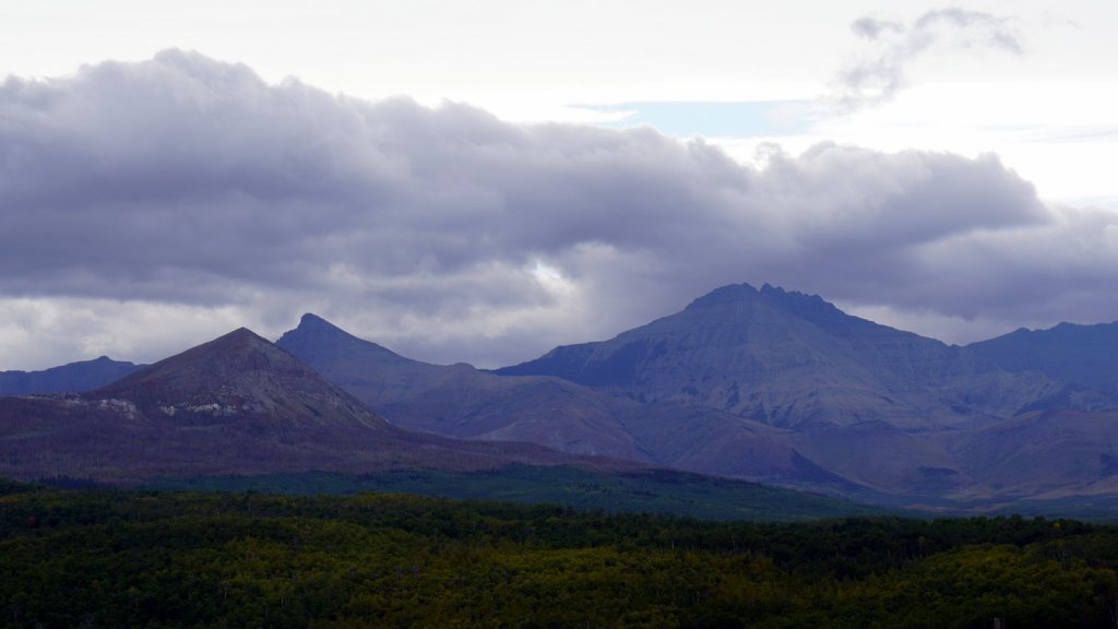
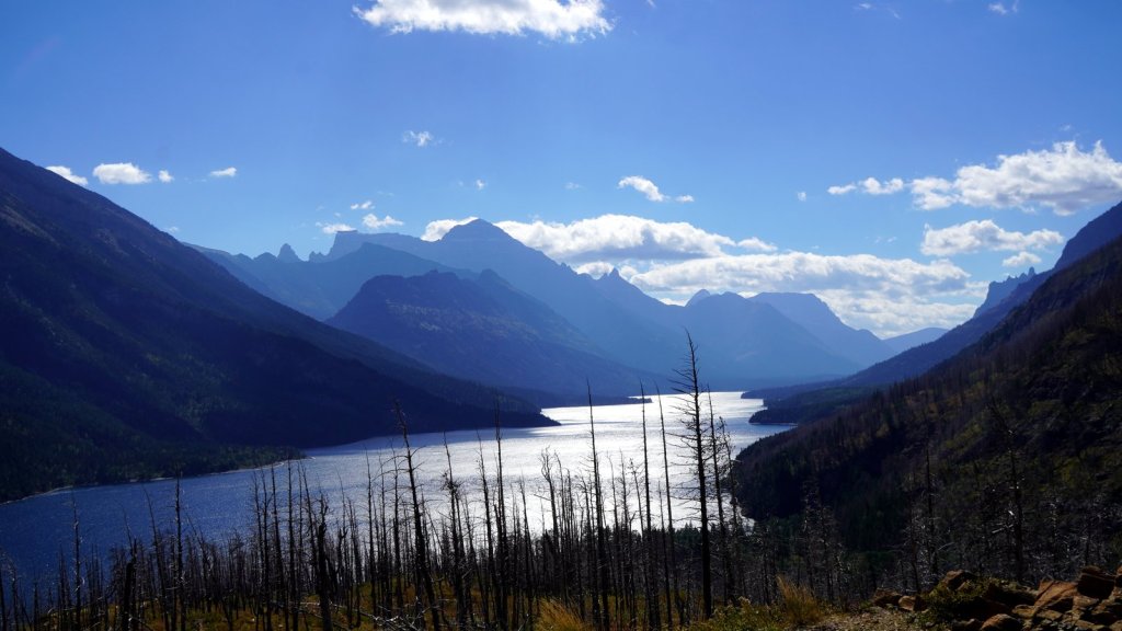
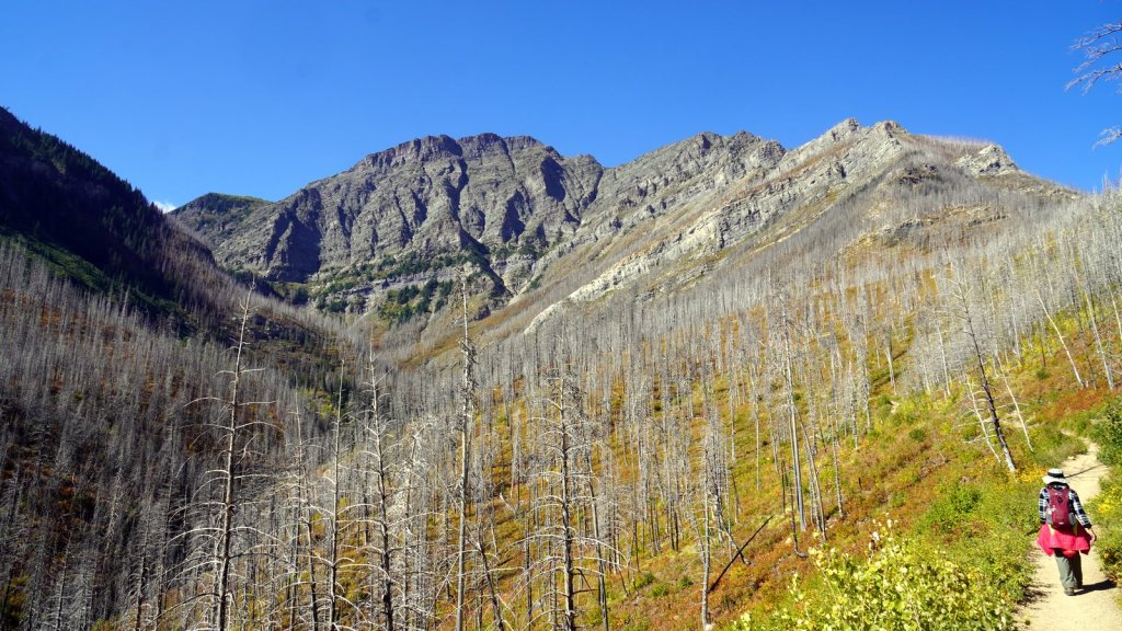
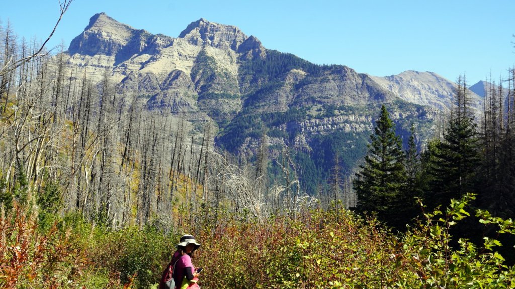
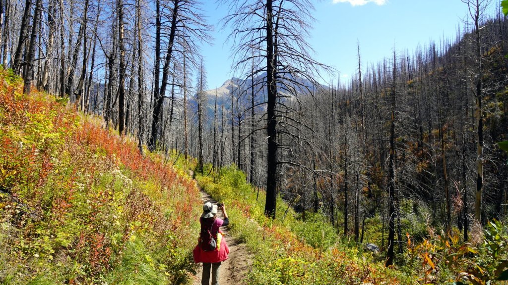
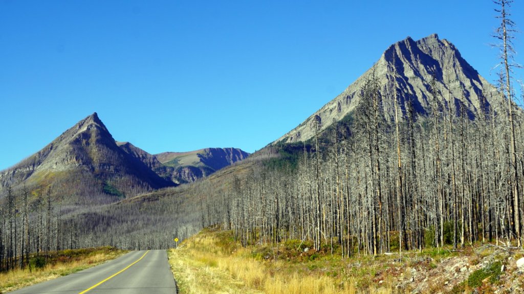
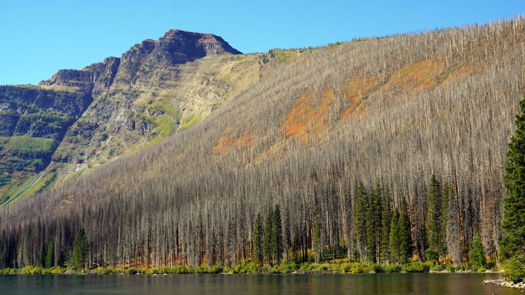
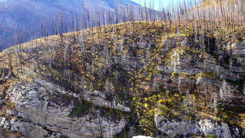
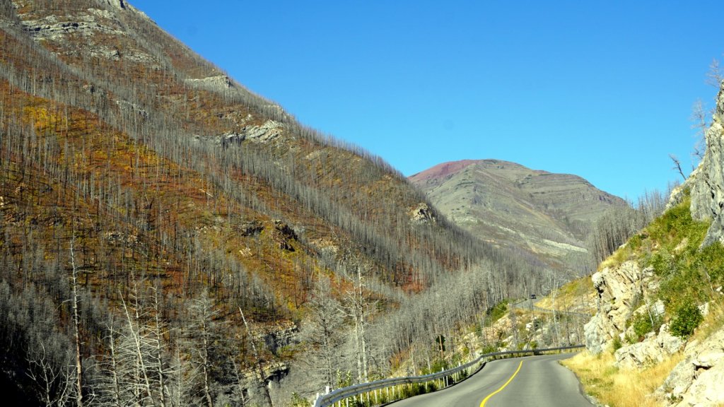
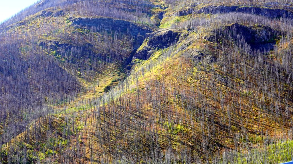
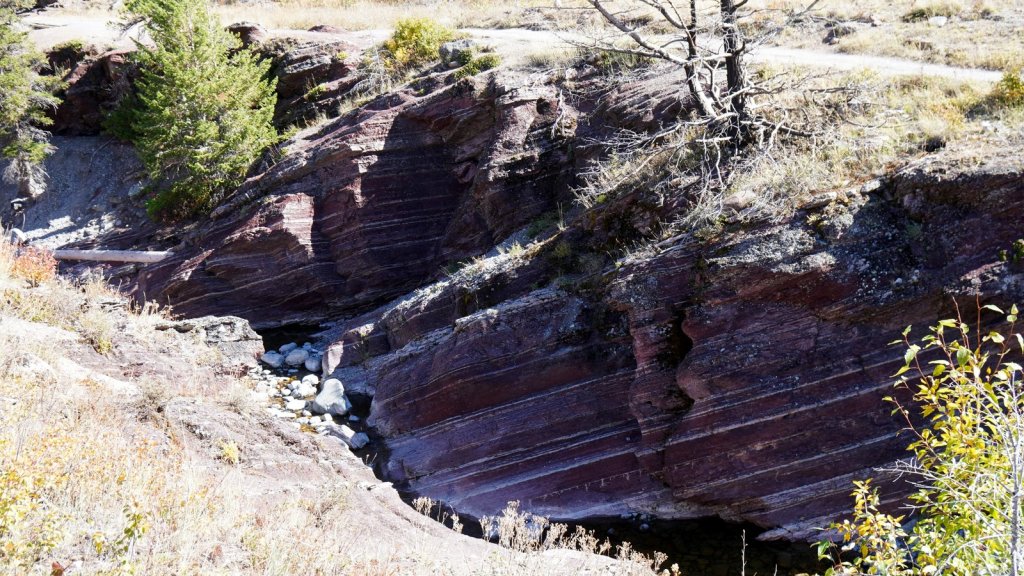
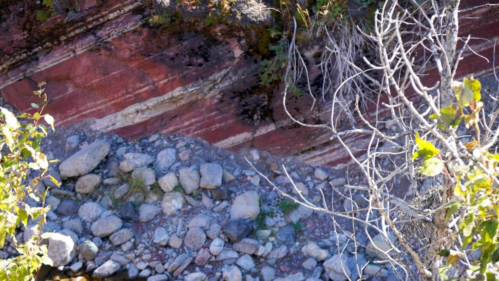
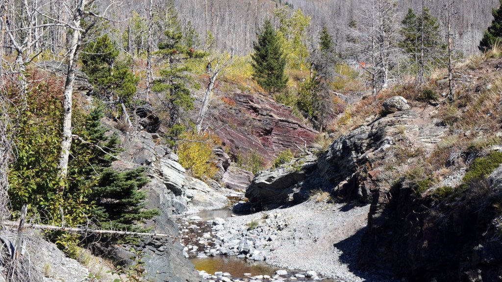
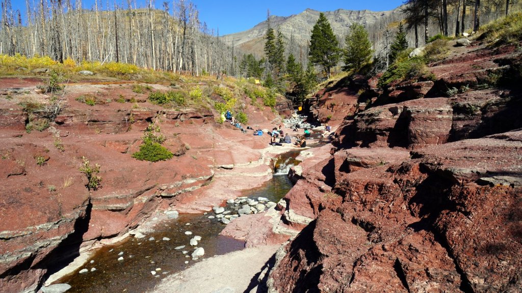
The next day and the morning of the following day (we spent 2 nights in the park), we spent exploring the park. First by foot along a moderately steep path towards Bertha waterfall. This climb already took over an hour and given Rudy’s reduced walking skills, we did not walk further to and around Bertha lake. That would have extended the trip by at least 2 more hours. We just have to admit that we can no longer do these long walks up and down mountains (at least Rudy can’t). Following up on this trend we drove further into the park along two 15+ km side roads through the mountains towards other lakes and streams. The drive are very scenic and high attitude (1680m). Not only due to the mountains but also the autumn colours of the undergrowth and trees. Although the area was devastated by a fire in 2017 reducing the pine trees to toothpicks, the undergrowth has flourished and colour the mountain. At the end of the 16 km. Akamina Parkway lies Cameron lake. The mountains in the distance are in the USA and have patches of snow on them (Glacier NP). We saw for the first time a canoe launch slide from the floating platform. The other side road, Red Rock Parkway, ends up at a small river canyon that cuts through a layer of red coloured mudstone. Both these sites had many visitors who enjoyed maybe their last walk through the park these season before the temperature drops further as winter comes.
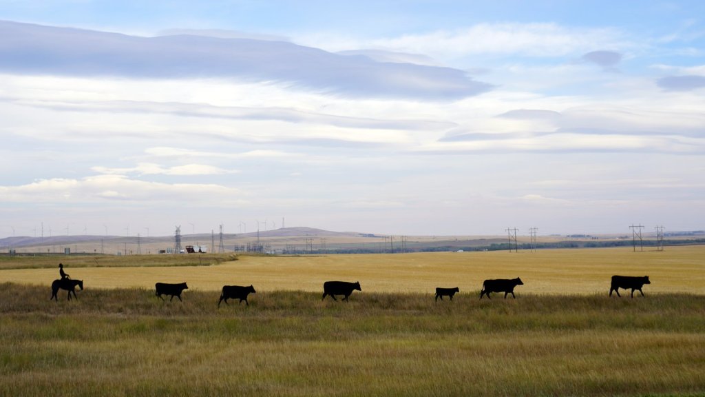
We drove a further 70 km around the park to reach the American border. The sun was shining on the wide golden coloured prairie we drove though at a height of 1300 m. Finally we saw cattle grazing on the grass fields. The route is called the Cowboy Trail not for nothing. At the border crossing, we were very lucky to obtain a new 90 day visa for the USA. New expiry date December 23rd. The previous one would have expired on the 19th of October. We would have had to race though the states to reach Mexico before the visa expires. Now we have all the time. Our first stop in the US is Glacier national park. Glacier and Waterton form together a unique cross border Biosphere recognised by the United Nations. It is the place where prairie reaches mountains. This is on the continental divide. Water from here goes via the Saskatoon river to the Hudson bay, via the Missouri/Mississippi to the Gulf of Mexico and via the Columbia river to the Pacific Ocean.