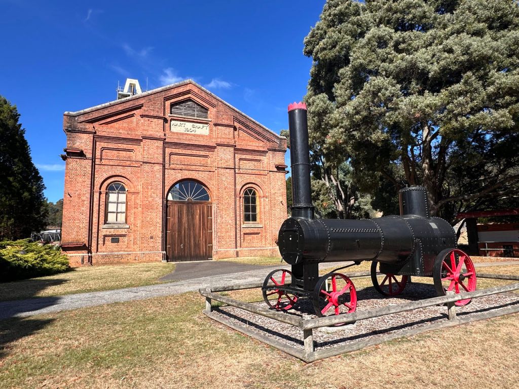
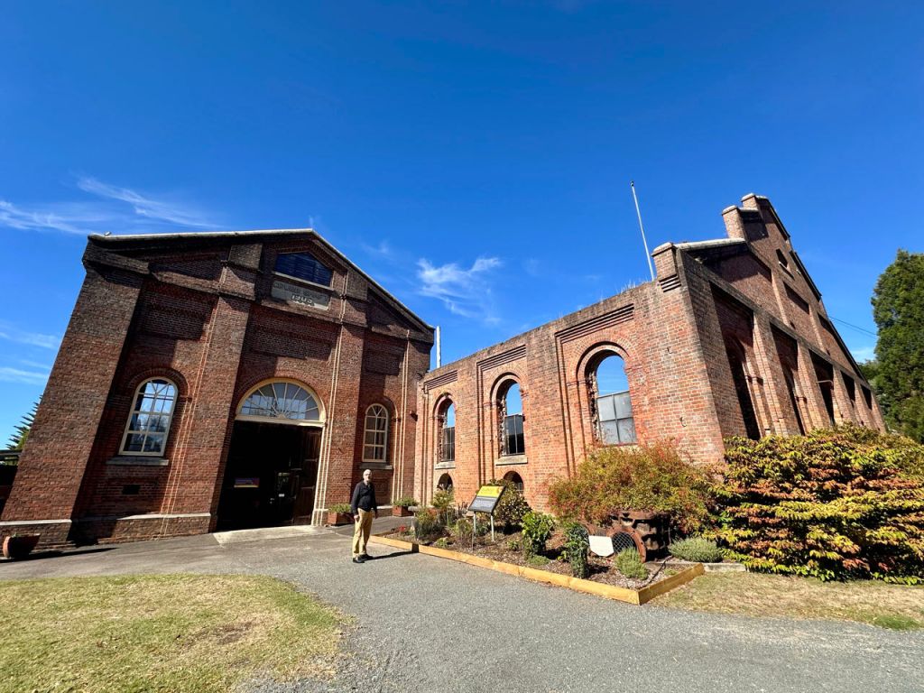
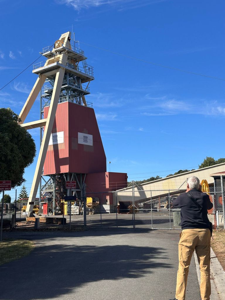
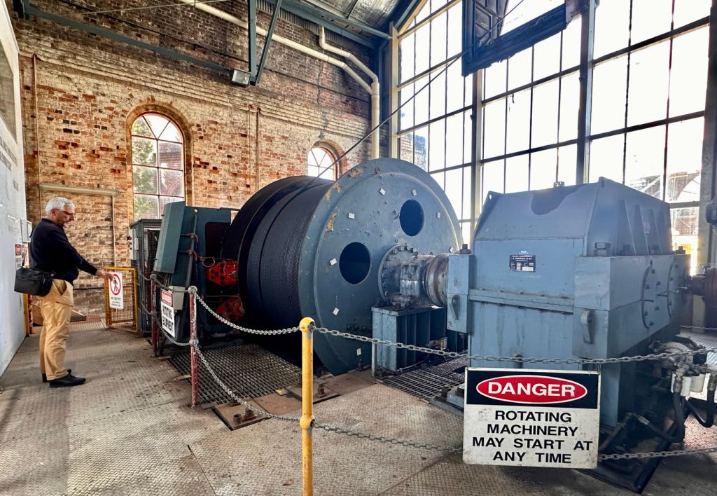
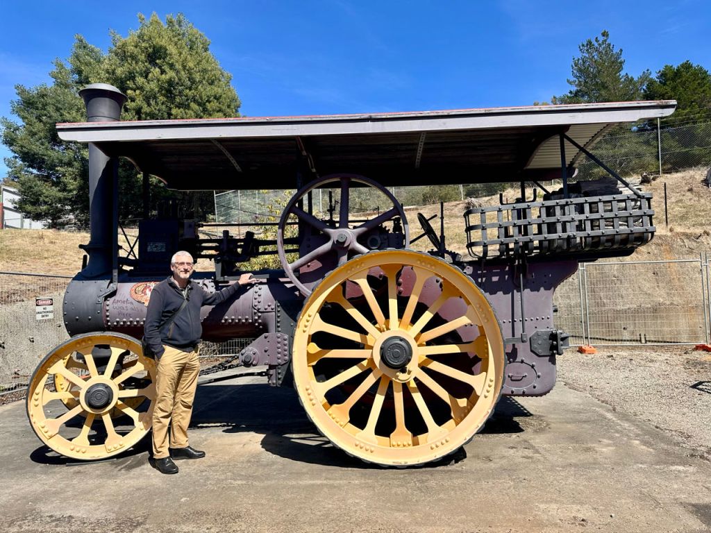
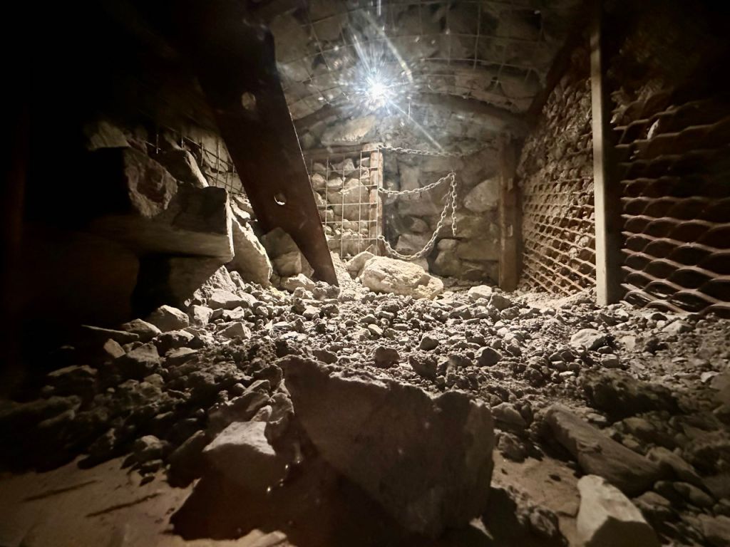
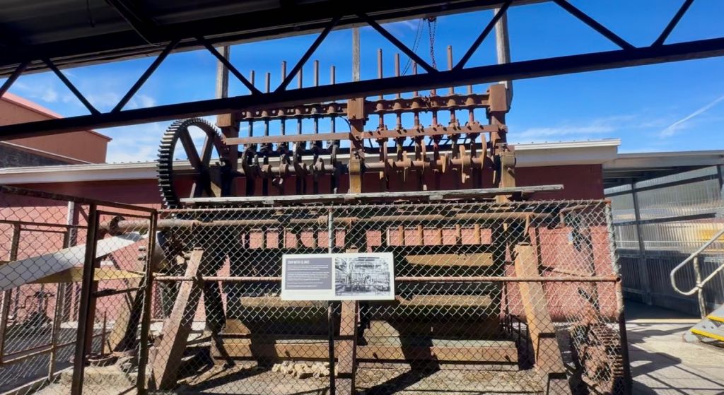
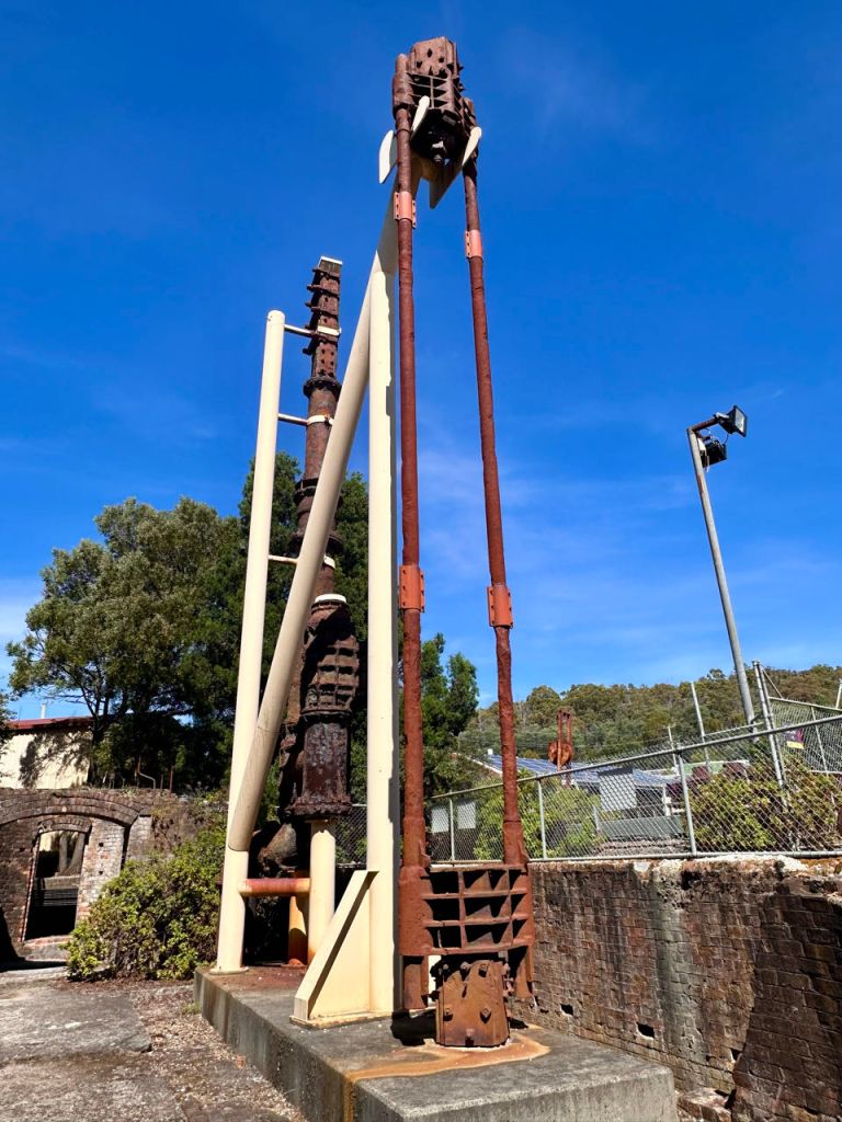
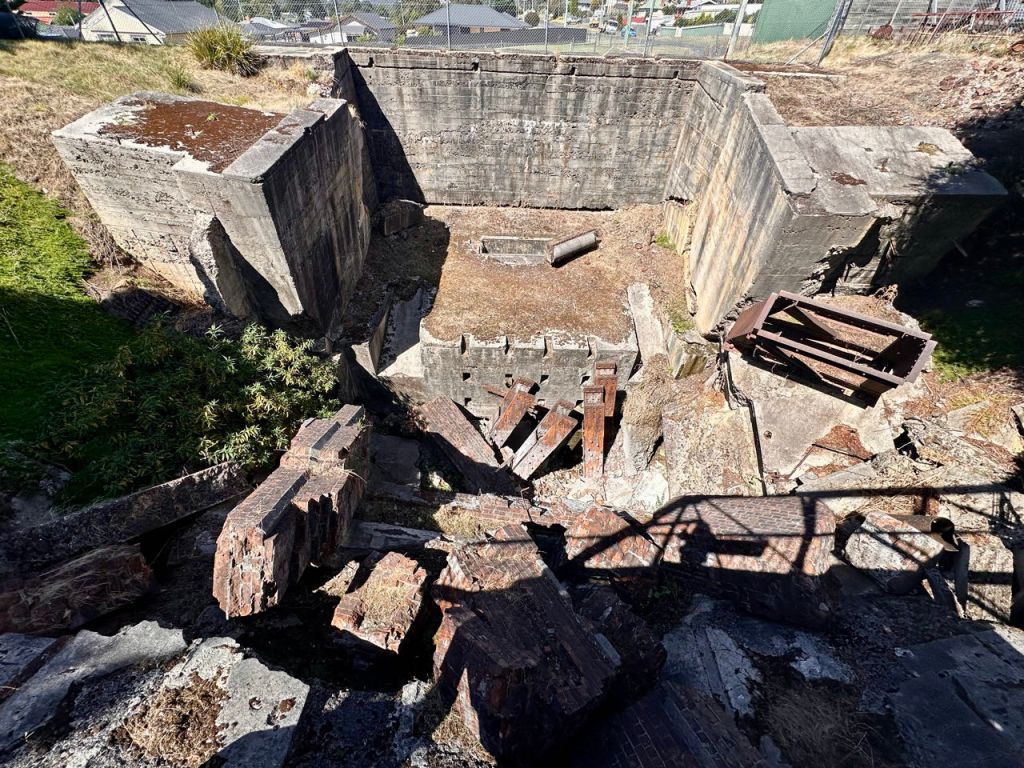
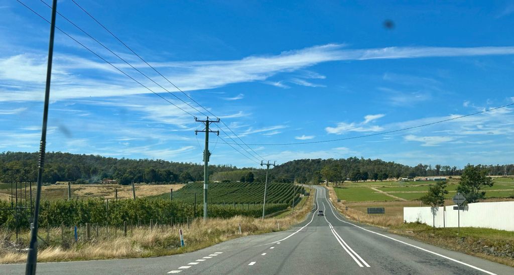
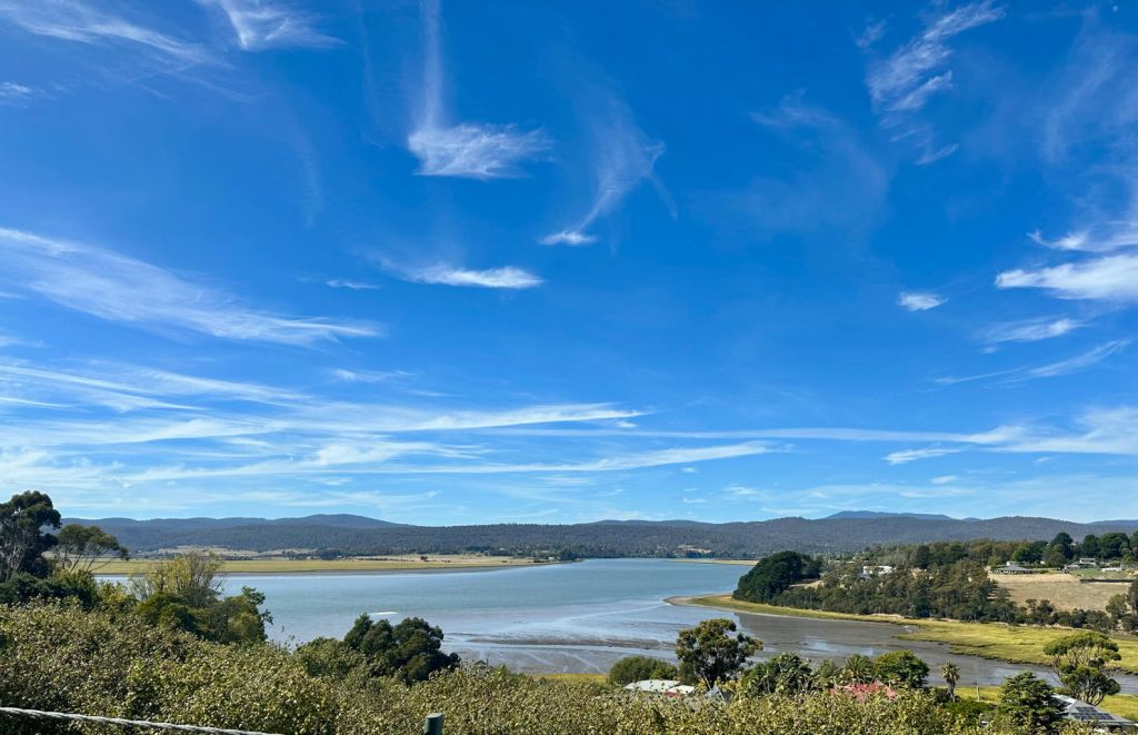
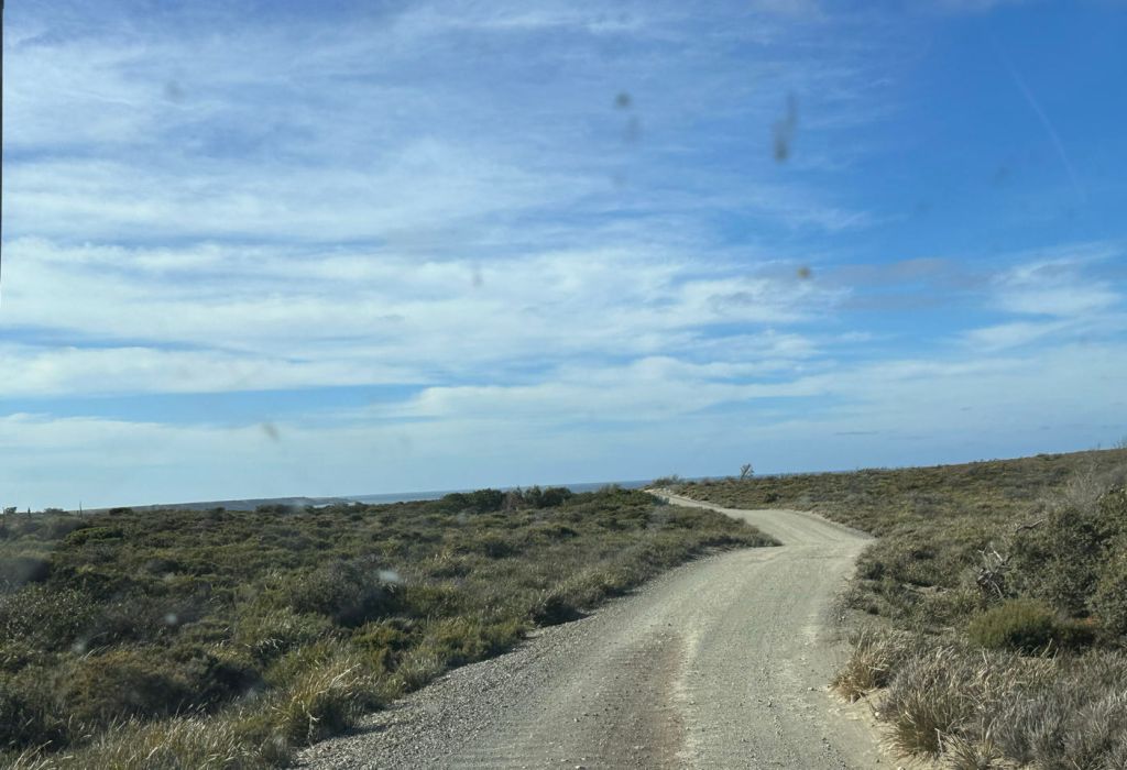
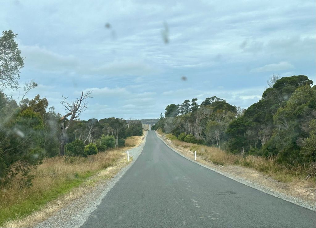
First thing first: warm up in the morning sun with a mug of coffee. Pack up and take the gravel road back to the Tamar valley. The first stop was a museum in the ruins of a once functioning gold mine Beaconsfield. It started in 1877 but closed already in 1914. The gold price was too low. It was reopened in 1999 with a new hoist in the mine shaft and pumps to pump out the mine water for years. In 2006 after an earthquake some 3 miners were stuck underground. One died but 2 were eventually rescued. The mine continued working till it was finally closed in 2012 due to low gold price. Now with high gold prices ($5000+) there is talk of re-opening it up again via an incline shaft.
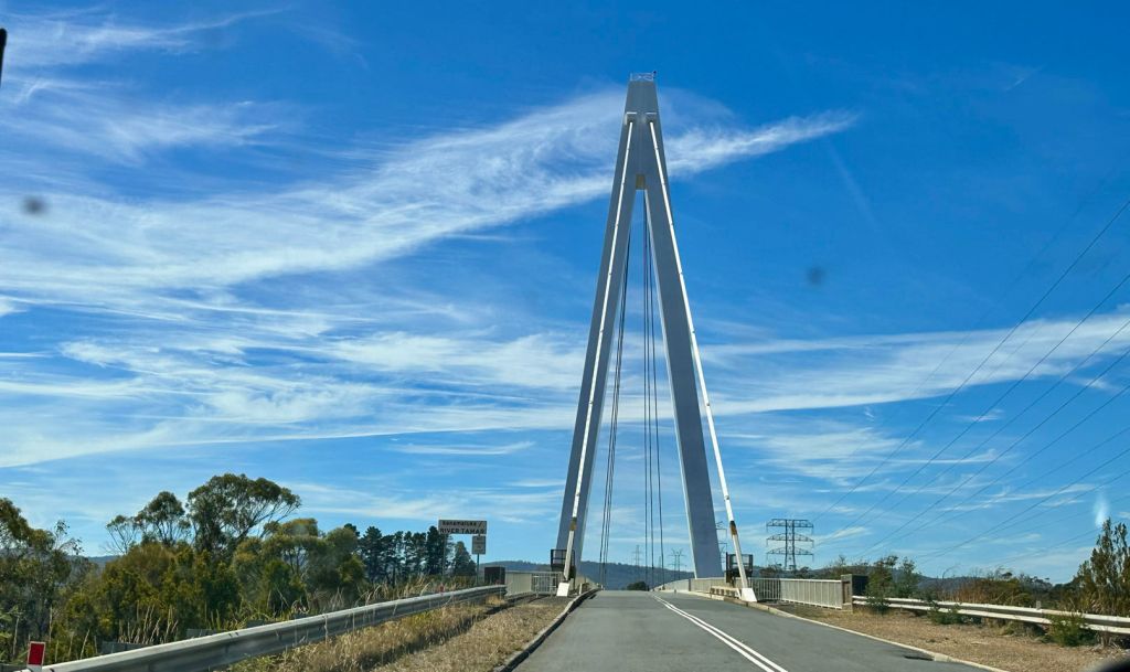
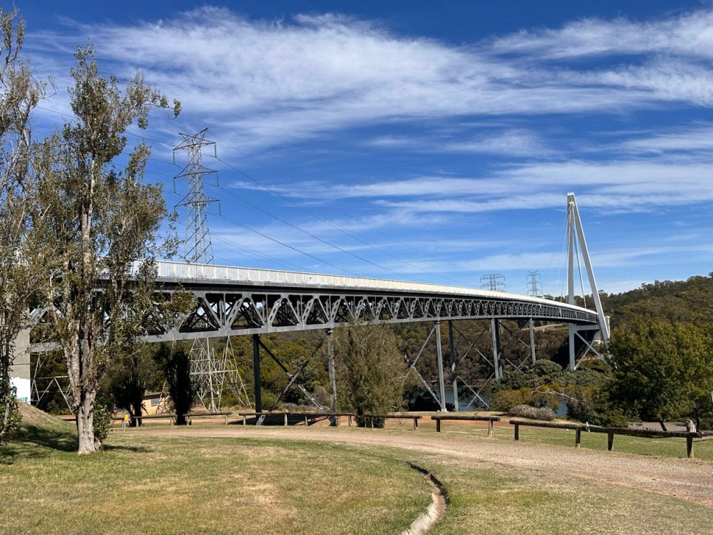
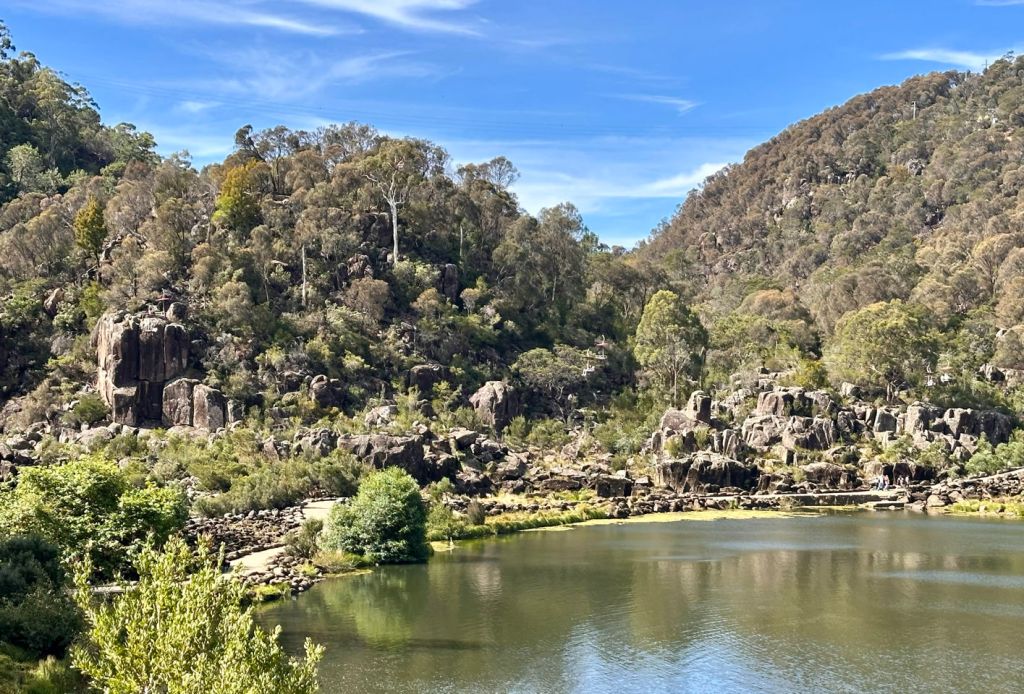
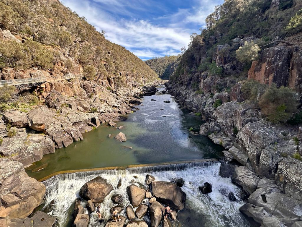
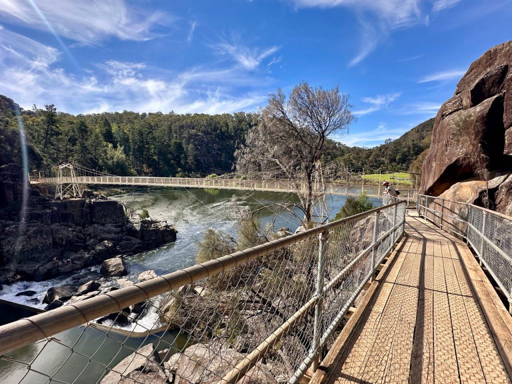
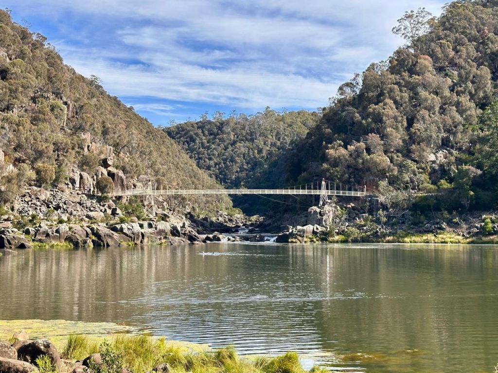
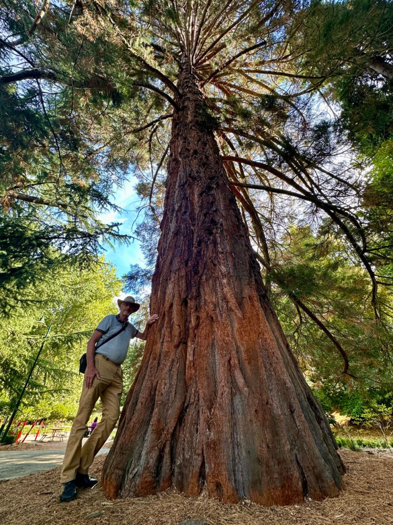
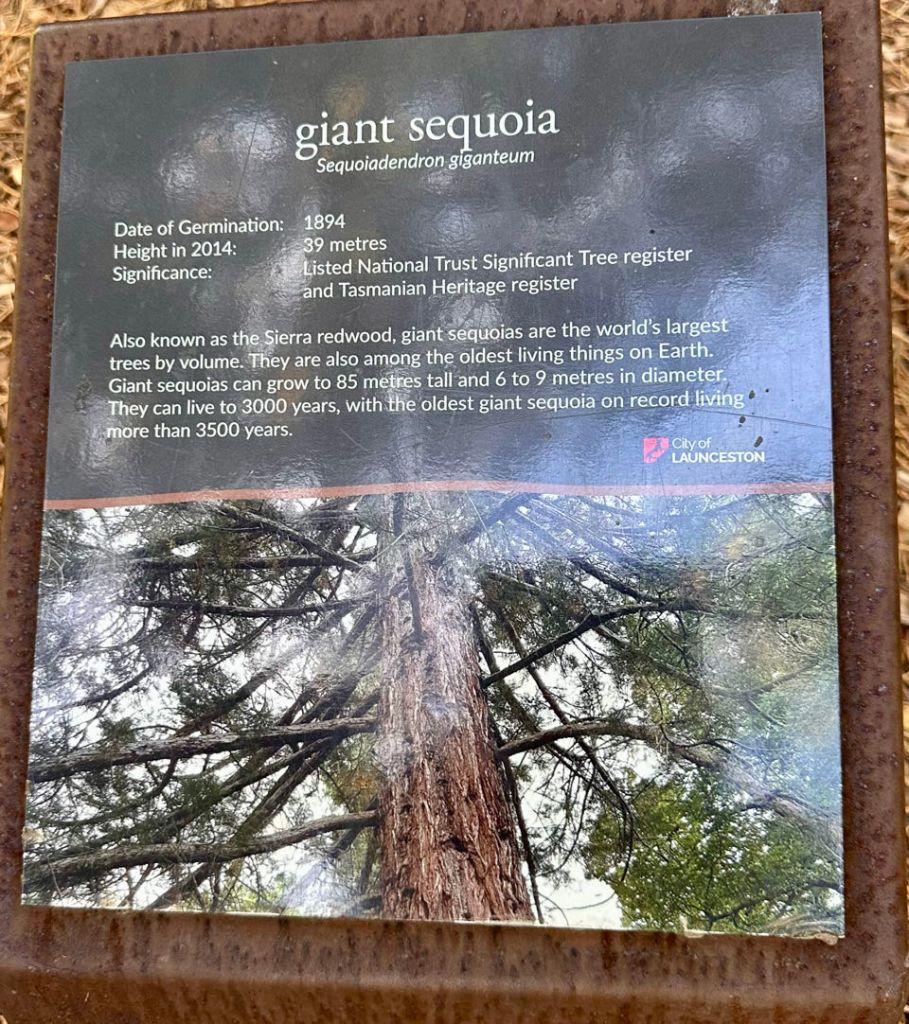
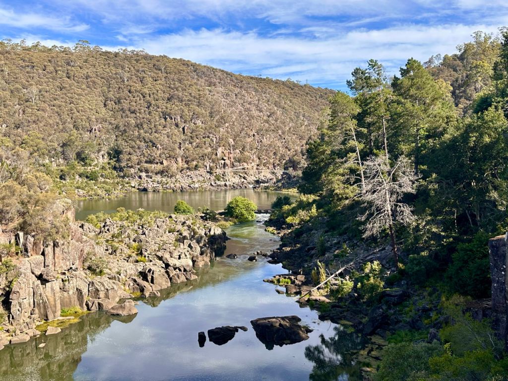
After lunch we drove further south to the second largest town in Tasmania, Launceston. We went straight to the Cataract gorge the start of the Tamar valley. We wandered around the park with an open air swimming pool, suspension bridge and cataracts. Also many old large trees dot the slopes.
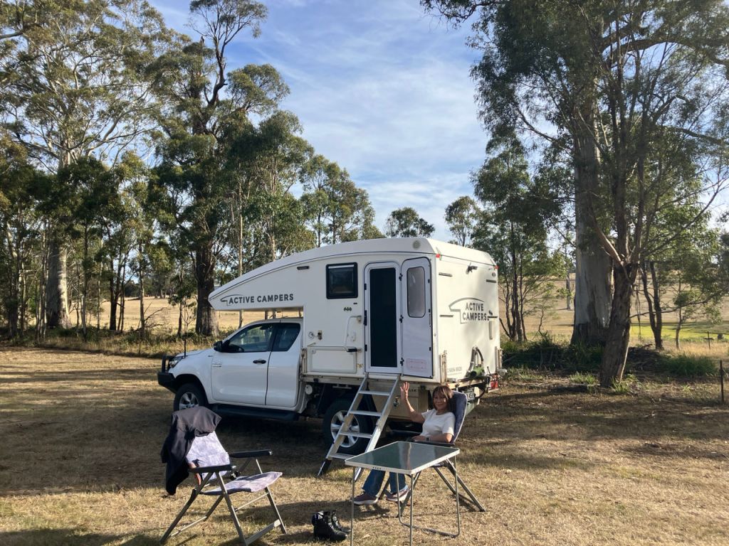
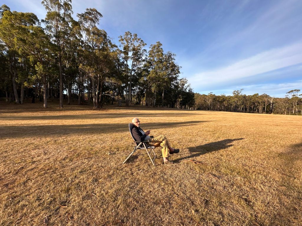
Some 16 km up the other side of the Tamar valley, we camped in the large paddock of a farm near the forest. Huge area with trees around.
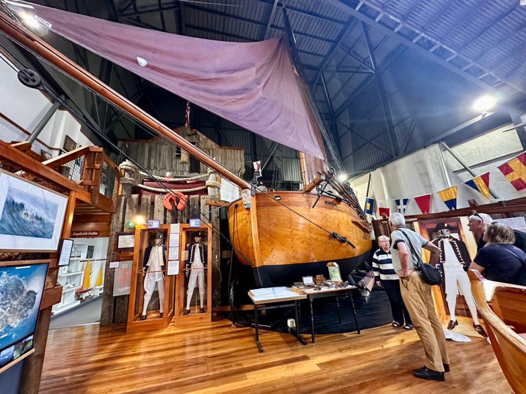
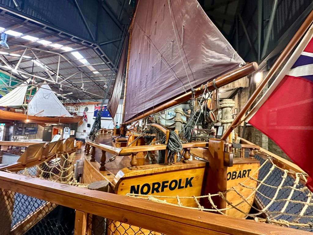
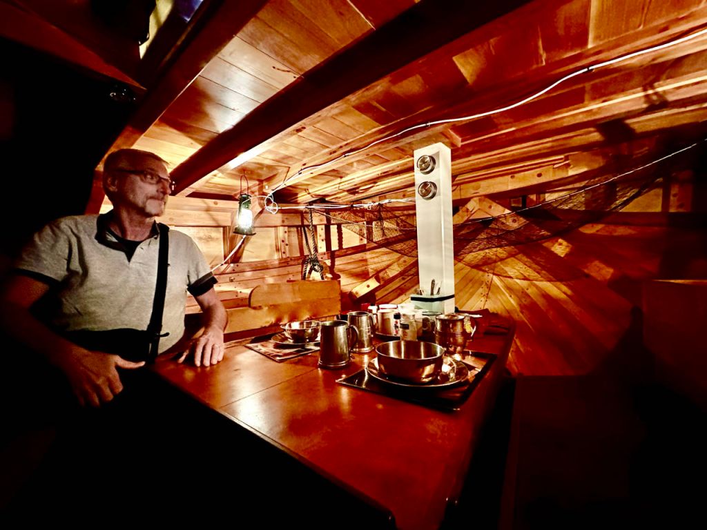
In George Town, the third town established in Australia we visited the Bass and Flinders centre, which has a replica of the boat Flinders and Bass who circumvented Tasmania in 1798 and proved that it was not connected to the main continent. Flinders made a detailed map of Australia and changed the name from New Holland to Australia. Tasman was the first European to visit Tasmania (van Diemans Land) in 1648 but sailed along the south coast unaware it was an Island.
There are 2 lovely elderly ladies who act as guides and told us all about the history of the island, the boat and the 2 explorers.
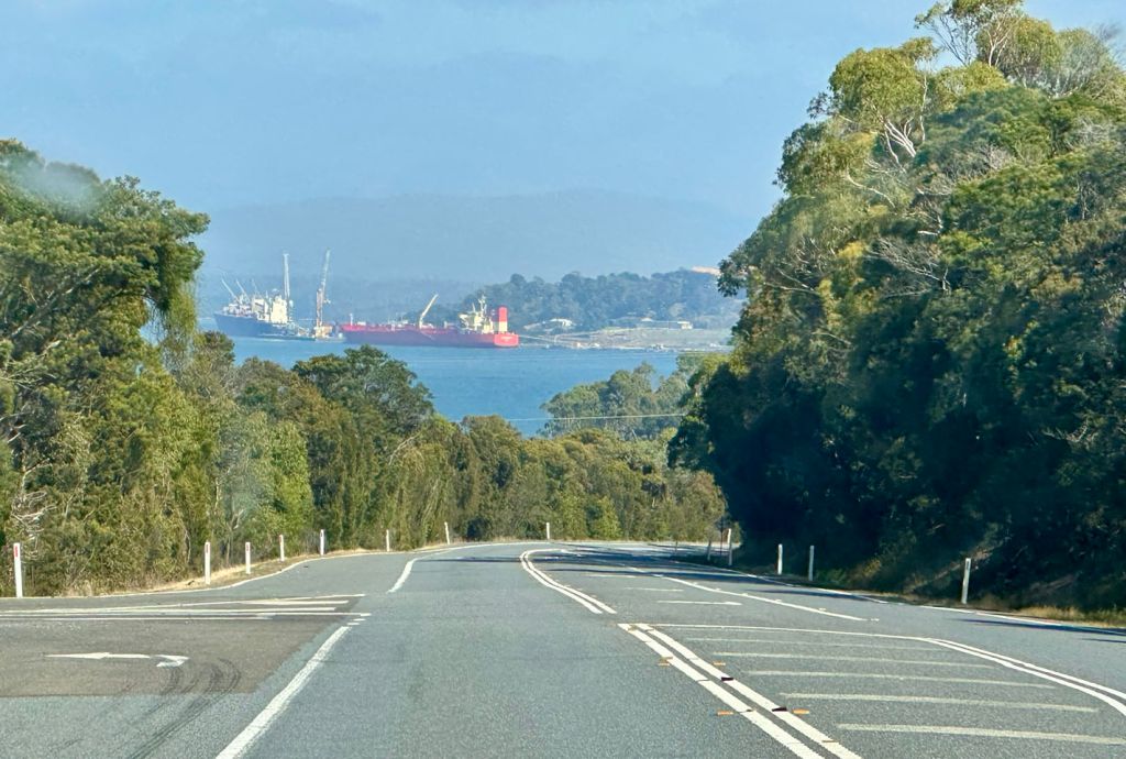
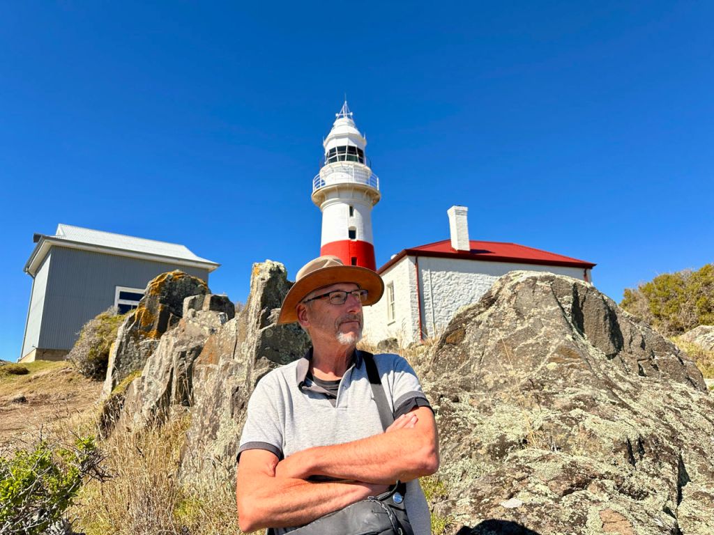
A bit further up the Tamar valley is Low Head with a lighthouse protecting the Tamar river entrance.
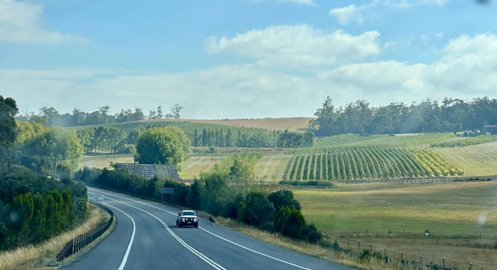
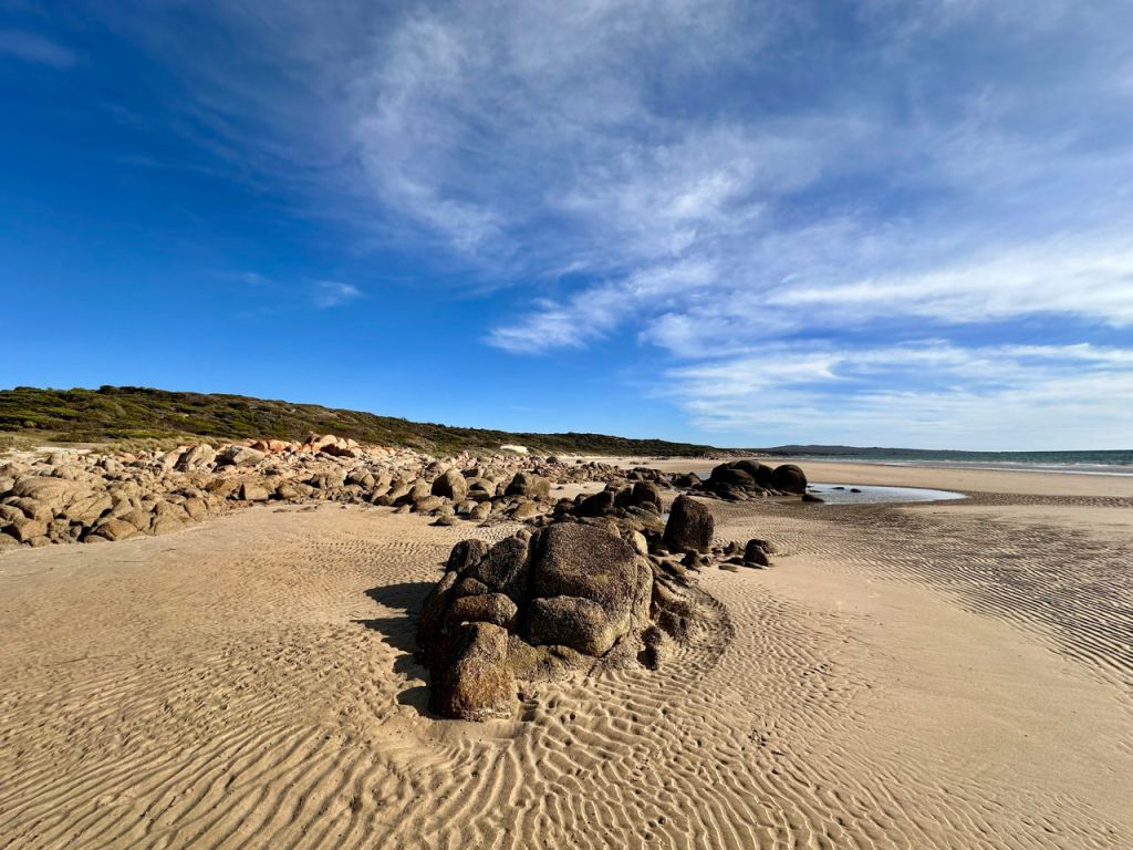
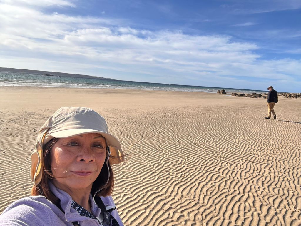
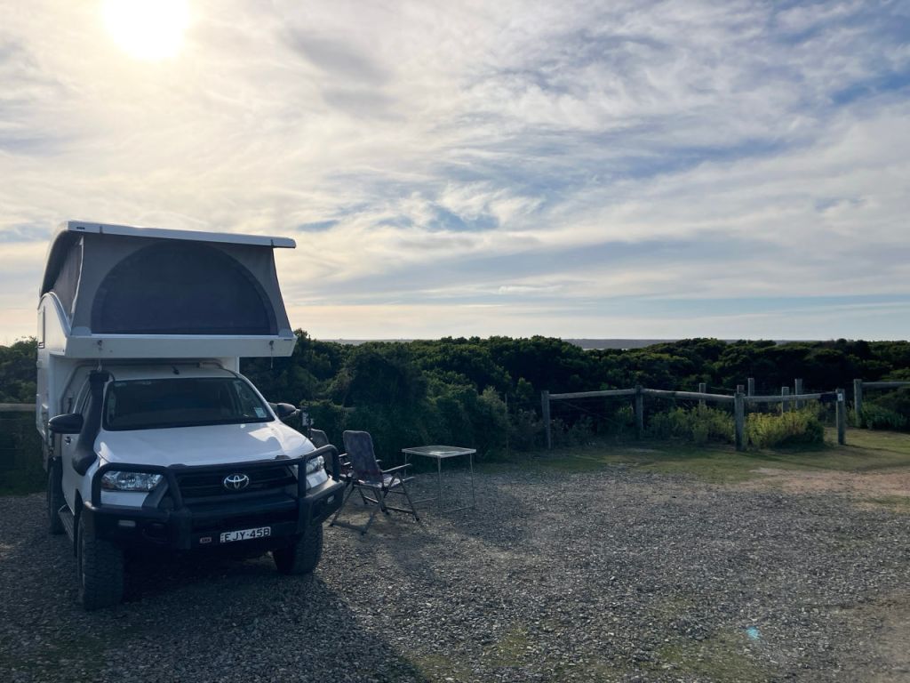
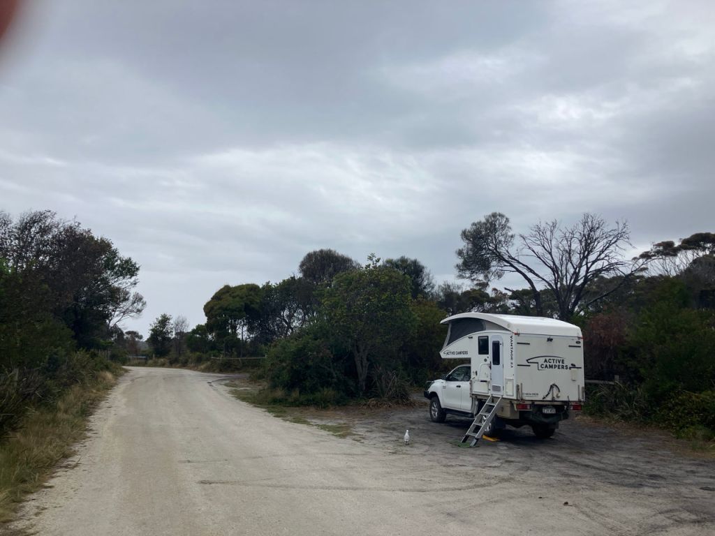
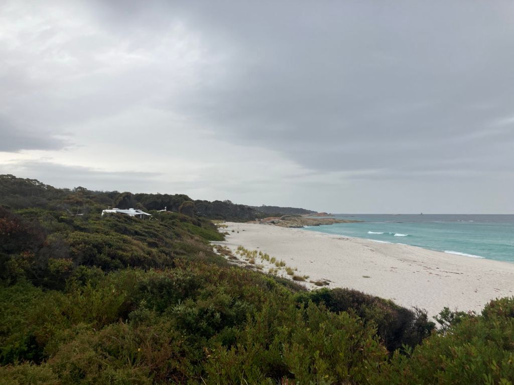
We drove some 110 km further north east inland from the coast through large irrigated grass lands with cattle, cows and sheep. Past Bridport we turned off the tarmac road and over a 16 km graded road we reached our current camping spot in the bushes above the Bass strait (at Waterhouse). We parked in between the bushes hoping that they shelter us from the sea breeze.
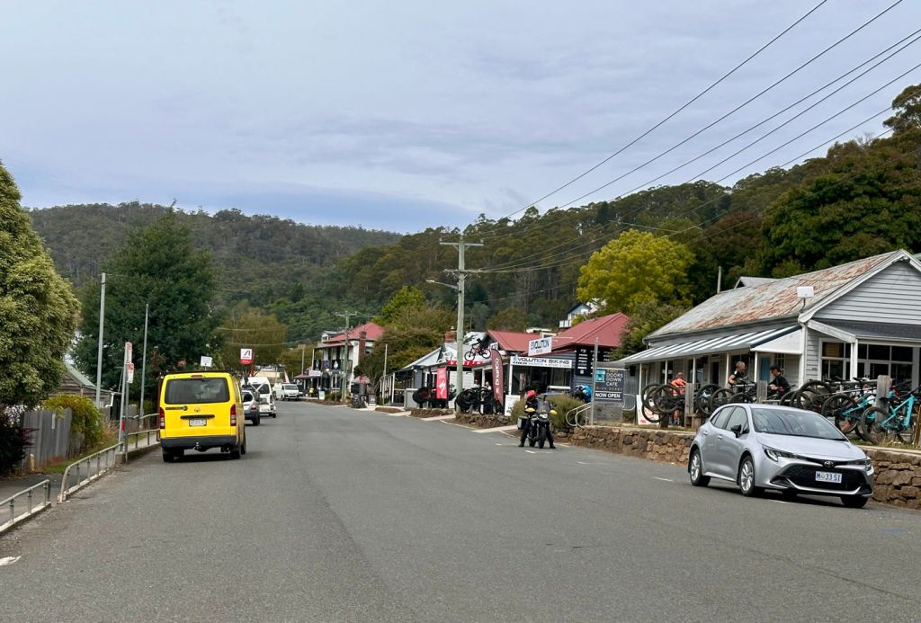
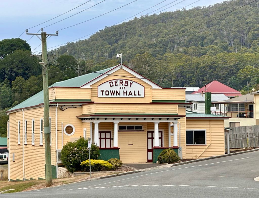
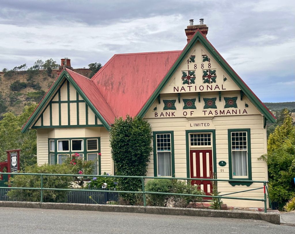
Stop over at Derby. A town that put itself on the map as mountain bike destination. It has public showers so we took advantage of it. Since I am waiting for the coffee and sandwich I have added some pictures of the camper. It is larger inside then you would expect. The bed is wide and the kitchen area large enough to move around while the other person (Rudy) sits on the bench and writes the blog..
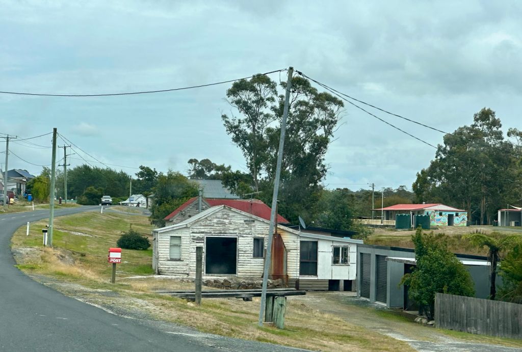
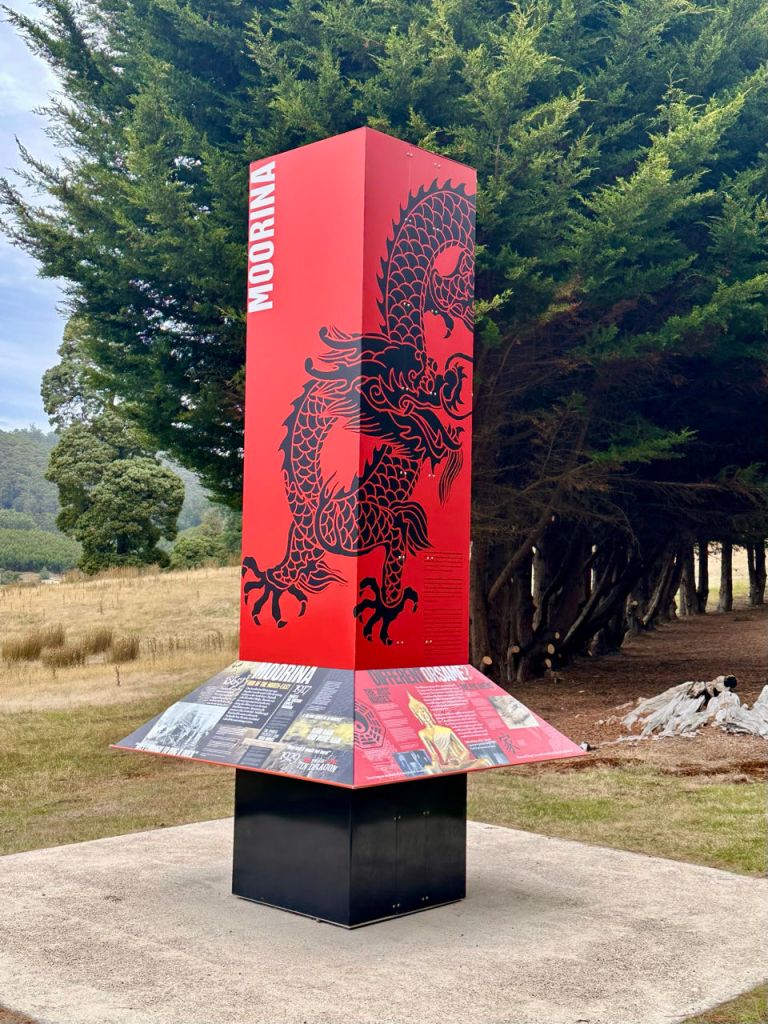
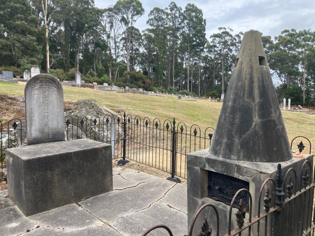
We drove out the protective area back to the surfaced road going further east to Gladstone. Again an area for cattle farming with on the hills forest plantations. Over steep windy roads through the forests we drove to Derby. This was the center of tin mining. It lies in the centre af several river valley. Hence the flooding after torrential rains and a dam burst in 1929. Many Chinees were working in the small alluvial mines along the creeks. We visited a Chinees memorial site. Most Chinees left when the Tin ore ran out.
We stopped at the local museum. It was closed but after 10 min a lady volunteer came by and opened the museum for a private tour. Rudy was particularly interested in the tin mining history. Since it was formerly an old school building there is also a lot of other paraphernalia here.
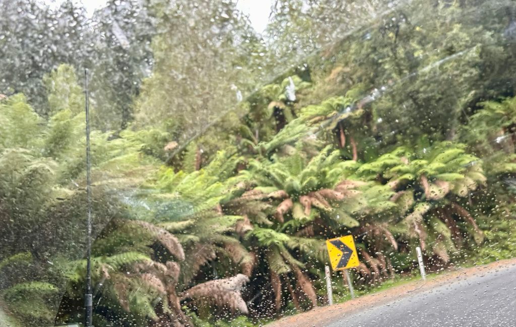
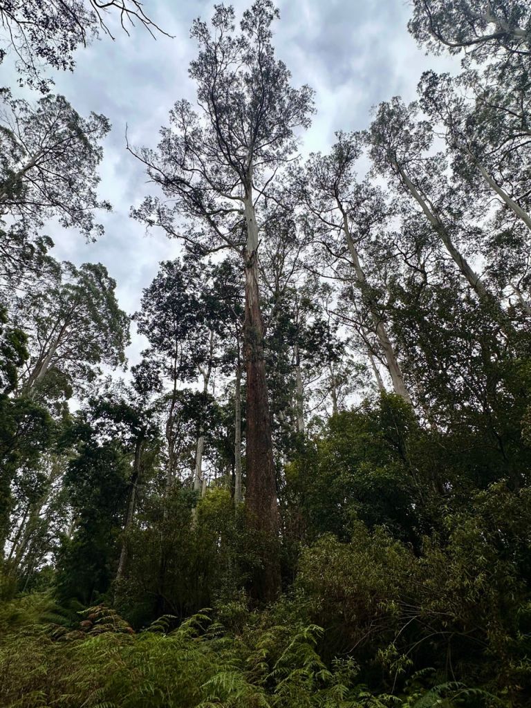
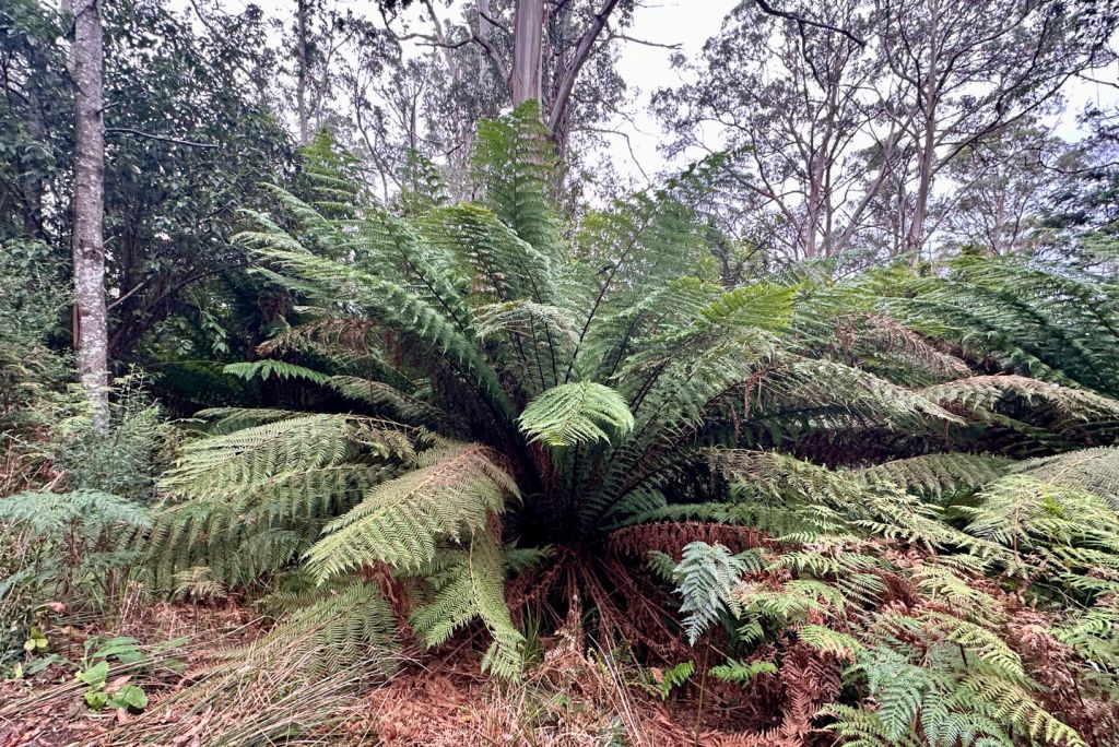
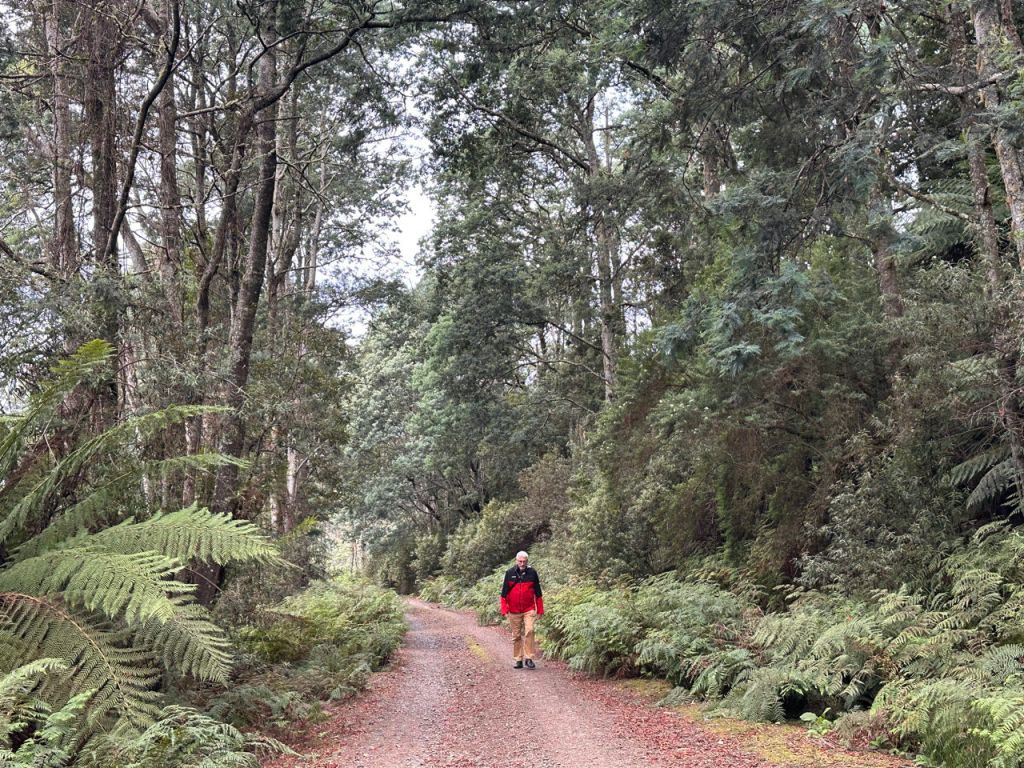
On the way to the east coast we tried to find some large trees in the forest reserve near Weldborough. We missed the first opportunity and started to walk to the second grove. However it was too far (and it begins to rain) so we turned back after 1 km going downhill.
St. Helens lies on the East coast. North of the town are several white sand beaches inbetween the granite boulders. We tried several public campgrounds but they were all full. We finally found one free campsite in one of these beach campgrounds. Just in time before the rain started.